MOW COP TRAIL, CHESHIRE
Short on time? This easygoing pub walk explores the history of Mow Cop, which straddles the Cheshire and Staffordshire
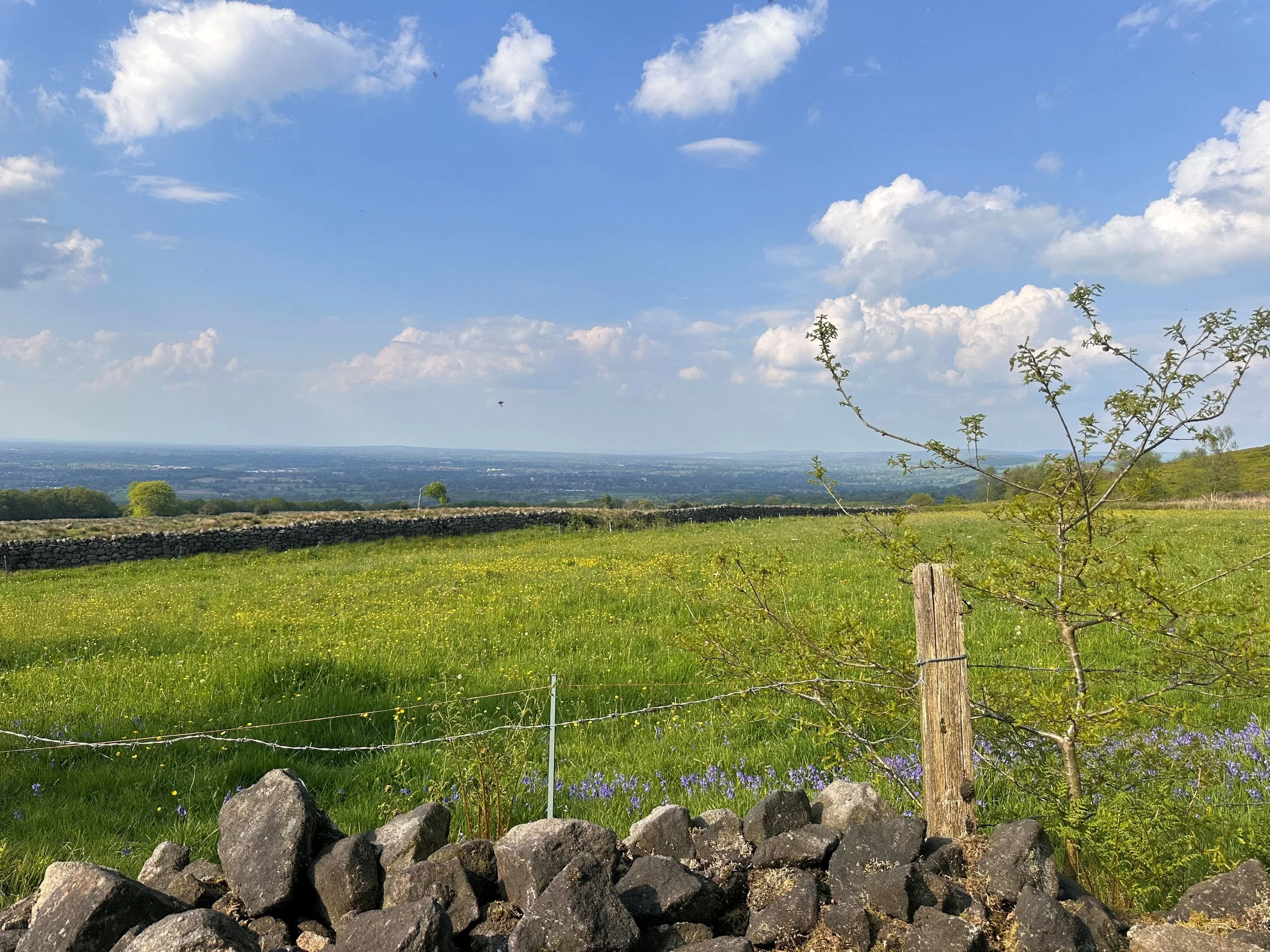
The route takes in the ruins of the castle and the Old Man o'Mow, a distinctive rock feature in the landscape. Along the way, you'll discover why this site is important to the Primitive Methodists, and see some long-reaching views over the Cheshire and Staffordshire countryside.
Start: Mow Cop, ST7
Distance: 4.66 miles
Duration: 2 hours
Elevation: 650 feet
Difficulty: Easy-Moderate
Navigation: Follow step-by-step on komoot, or download GPX file

Route Highlights:
Mow Cop Castle: Mow Cop ‘castle’ is a folly on the ridge dividing Staffotdshire and Cheshire, and is in the ownership of the National Trust. The folly of Mow Cop was built as a summerhouse in 1754 for Randle Wilbraham I of Rode Hall. It is believed that he built it to enhance the view of the newly constructed Rode Hall, about 3 miles away on the edge of the Cheshire plain.
Mow Cop is often referred to as the home of primitive Methodism. The two founders of the movement were Hugh Bourne 1772-1852, and William Clowes 1780-1851. The first open air prayer meeting took place on 31st May 1807 and attracted over 2,000 people. In 1862 a Memorial church was built on the site of this open air meeting.
Old Man of Mow: The Old Man O’Mow is situated on the site of an ancient cairn that would have been the high point of the land; it would have been as distinguishable a landmark as the Castle is today. It has been suggested that the cairn was a burial mound, and linked to the Bride Stones of Cloud End.
The Gritstone Trail: The Gritstone Trail is a long distance walk of 15 kilometres (9.3miles) which starts at Timbersbrook near Congleton in Cheshire and finishes at Kidsgrove in Staffordshire. The route passes many historical landmarks and features of the area's industrial past including ancient paths, Roman roads, canals and railways. On its way from Cheshire into Staffordshire it takes in Lyme Park, Sponds Hill, Tegg's Nose Country Park, Croker Hill and Mow Cop, it ends at Kidsgove Station which is close to the Harecastle Tunnel on the Trent and Mersey Canal
Macclesfield Canal: The Macclesfield Canal, completed in 1831, winds through 26 miles of Cheshire's picturesque countryside, showcasing elegant stone bridges and impressive locks. While you can enjoy a full day of long-distance walking along the canal, our walk only takes you across a short segment of this historic waterway.
Roe Park Woods: The route leads through Roe Park Woods which is a Site of Special Scientific Interest. The woodlands consist of three separate woods called Hanging, Limekiln Our circular walk passes between Hanging and Limekiln woods on the north-west facing slope of Mow Cop ridge. This woodland is Cheshire’s most extensive area of semi-natural ancient woodland and contains woodland community types rare to the county.
Good to Knows:
Terrain: The route is relatively flat with an uphill section shortly after The Rising Sun. A great excuse for carb loading at the pub.
The Rising Sun Pub: A stone’s throw away from Rode Hall & Gardens and Mow Cop Castle in Scholar Green, found north of Stoke-on-Trent. You’ll pass this cosy pub at the latter end of your walk, where you can expect home cooked food and a warm greeting aplenty.
Accessibility: Undulating terrain that may be unsuitable for buggies and wheelchair users. Please also note that there are no toilet facilities in and around the Mow Cop area.
Dog friendly: This route is dog-friendly, featuring just one stile with room for a dog to pass under, or small dog to be carried over.
