Low-effort, big-view hike in the Peak District
The beautiful Peak District walk that’s low on mileage but big on views

Start: Cross Street Car Park, Cross Street, Castleton, Hope Valley, Derbyshire, S33 8WH
Distance: 3 miles
Elevation: 700 feet
Duration: 1.5 hours
Difficulty: Easy with gentle elevation gain (with some rocky terrain and steep descent)
Navigation: Follow step-by-step on komoot, or download GPX file
About the route
Looking for a short and scenic walk in the Peak District that’s easy on the legs and big on views? This low-mileage route from Castleton is the perfect alternative to the higher elevation peaks surrounding the village, but still feels like you’ve been transported to another world.
Starting from Cross Street Car Park, the route takes you through the picturesque village of Castleton before ascending to Peveril Castle for sweeping views of the Hope Valley. From there, you’ll venture into the dramatic limestone gorge of Cave Dale, a beautiful limestone valley that feels like stepping back in time. The final stretch loops past the famous Peak Cavern (the Devil’s Arse) before returning to the heart of Castleton where you’ll find pubs and cafes waiting for you.

Route difficulty
Walk type: Low mileage circular walk with minimal elevation gain. Please note there is a steep descent into Castleton towards the end of the route. This can be avoided by descending via Winnats Pass.
Terrain: Mostly well-defined paths with a rocky, uneven section, especially in Cave Dale. Please note this section of the route can get incredibly slippy during wet or icy conditions and is not suitable for anyone with mobility issues
Accessibility: Not suitable for pushchairs or wheelchairs due to narrow and uneven paths.

Route highlights
Peveril Castle: Perched high above Castleton, this Norman fortress offers panoramic views of the surrounding valleys.
Cave Dale: An enchanting gorge, framed by towering limestone cliffs.. Keep an eye out for fossils embedded in the rocks.
Devil’s Arse (Peak Cavern): The largest natural cave entrance in the British Isles. Steeped in legend and a great pitstop along the route.
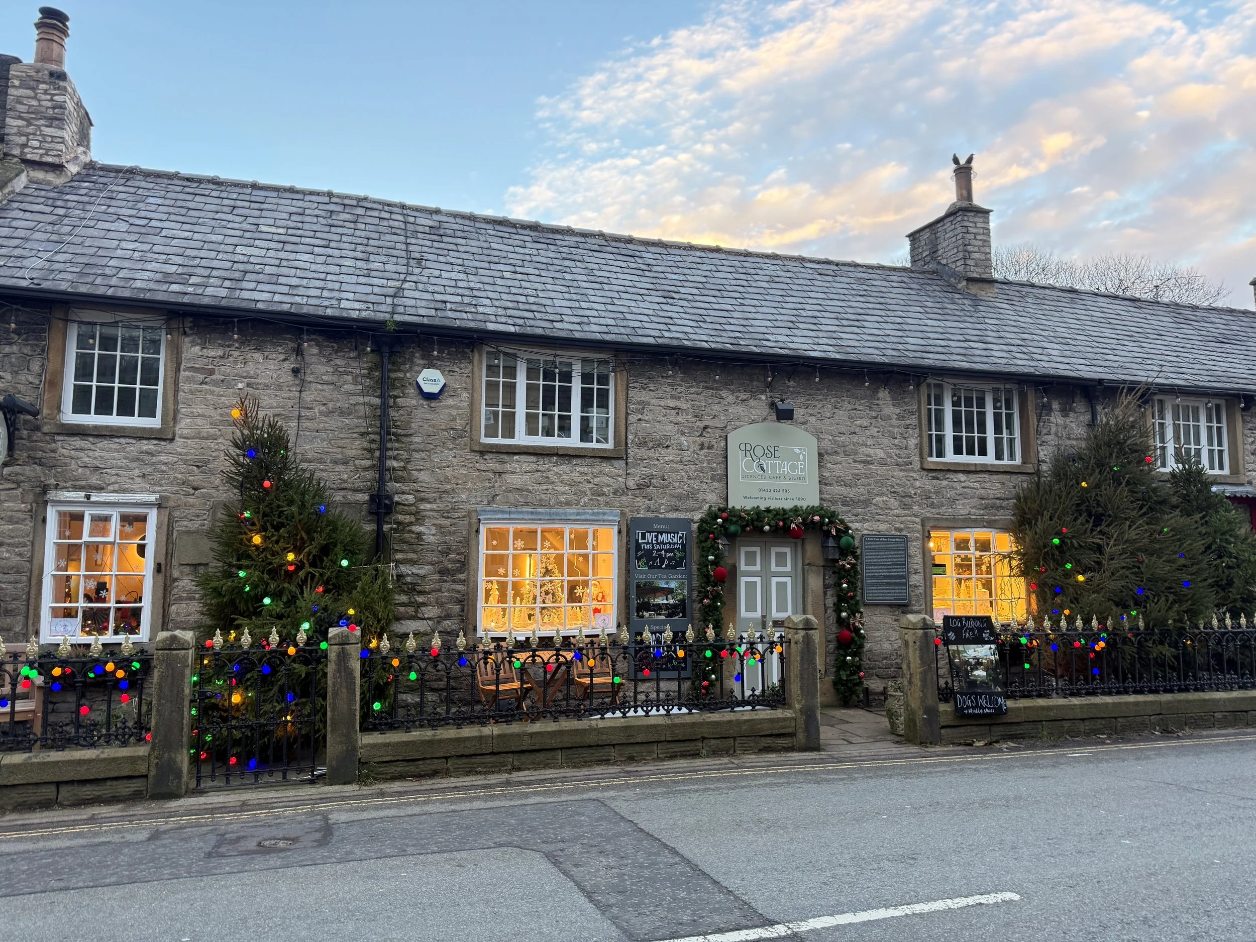
Castleton Village: The walk begins and ends in this charming village in the heart of the Peak District National Park, renowned for its cosy pubs, cafes, and independent shops. Don’t miss The Castle Inn, Tilly’s Tearoom, or the artisan shops along the main street.
Is this route for me?
Unlike the higher elevation routes along the neighbouring peaks, this walk is perfect for anyone seeking a lower effort walk in the heart of the Peak District.
Please note, the path along Cave Dale is rocky and uneven and can get incredibly slippy during wet or icy conditions and is not suitable for anyone with mobility issues. There is also a steep descent into Castleton at the latter end of the route which can be avoided by descending via Winnats Pass.

Options to extend the route / things to do nearby
If you have extra time, consider exploring:
Mam Tor: A short walk or drive away, this iconic Peak District summit offers incredible views and is great to time with sunrise or sunset.
Blue John Cavern: Delve into one of Castleton’s famous show caves, known for its rare Blue John stone.
Getting to the starting point
By car: Use the postcode S33 8WH for Cross Street Car Park in Castleton.
By public transport: Take the train to Hope and walk/bus to the starting point.

✔️ Good to knows
Difficulty: Easy with gentle elevation gain but some rocky/steep descents.
Footwear: Sturdy, waterproof boots are a must, especially after rain, as some paths can get slippy and boggy.
Dog-friendly: Dogs are welcome but should be kept on leads near livestock.
Food and drink: Castleton is home to your pick of pubs, cafes and shops. For a proper pub lunch, visit The Castle Inn. Or for lighter bites, try Tilly’s Tearoom or one of the village’s many cosy cafes.
🧭 Following the route
I use komoot and OS Maps for offline navigation. To follow this walk step-by-step on komoot, simply click this link here or download the GPX file and upload it to your chosen app, such as OS Maps.