WHALEY BRIDGE INCLINE
With neighbouring Buxton and Hayfield (home of Kinder Scout) often taking the peak-shaped glory, Whaley Bridge can be overlooked as a place to grab your boots and go for a walk — and that’s part of the reason it’s one of our favourite places to explore.
Start: Canal Street Free Carpark, SK23 7LX
Distance: 6.9 miles
Elevation: 1,000 feet
Duration: allow 2-3 hours
Navigation: follow our route here
Just a 20 minute drive from Stockport and only 40 from Manchester, Whaley Bridge is one of the most accessible Peak District villages to visit from our neck of the woods — but that doesn’t mean it loses any of its charm. While many walkers use the village as a great base to explore other more challenging routes, Whaley itself has many idyllic spots that’re often overlooked by tourists and ramblers alike.
Whether it’s a walk along Bugsworth Basin towards Eccles Pike, or a trip to nearby Goyt Valley, Whaley Bridge has much to offer in untouched countryside and gorgeous landscapes to explore.
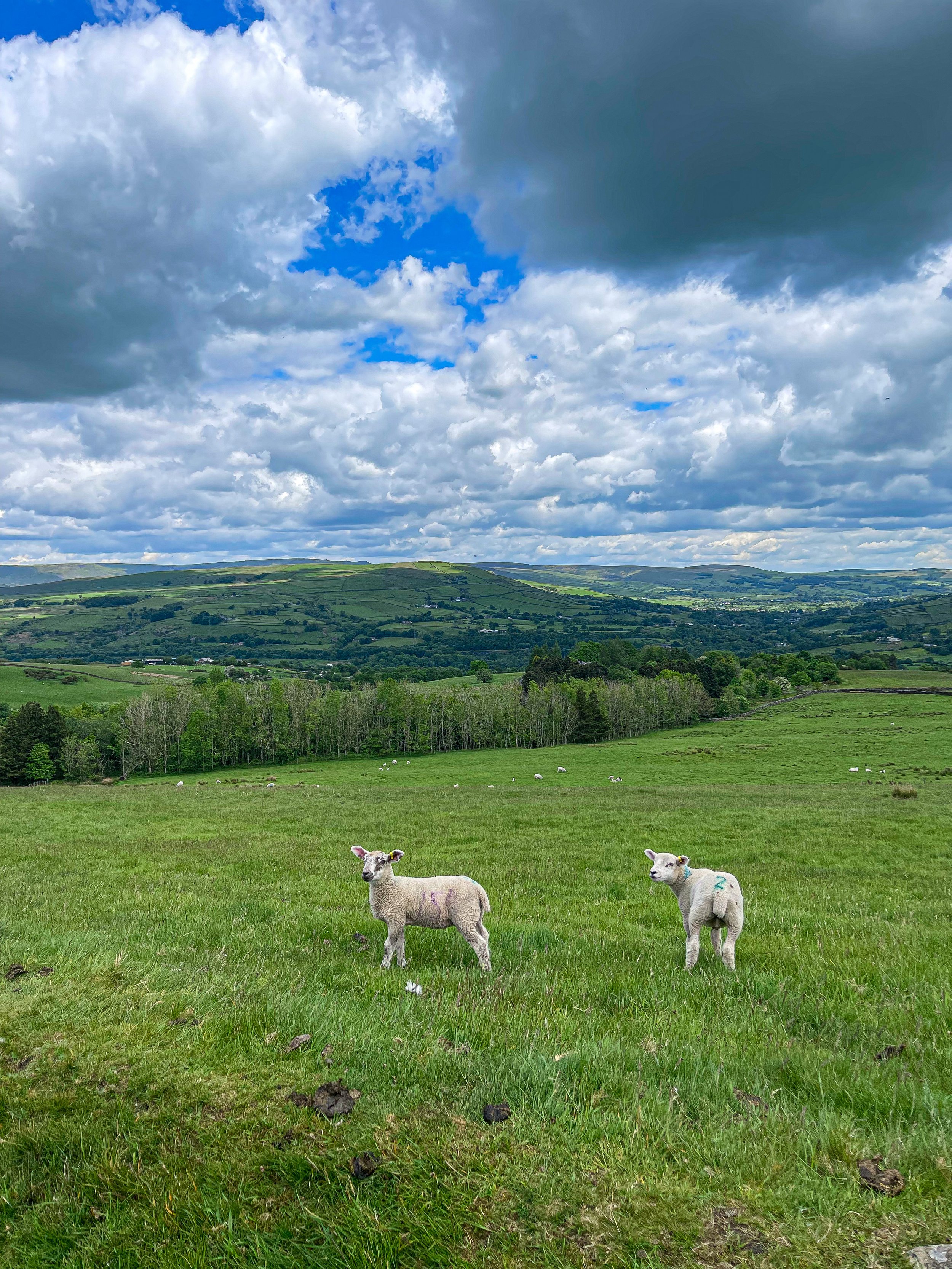
But for us, the true showstopper in Whaley is its own surrounds. Due to the popularity of other routes nearby, we pretty much had the entire trail to ourselves (except for plenty of sheep… and even some llamas!)
Our walk starts at the Whaley Bridge Canal Basin, which you can follow along to Marple one way and Macclesfield the other. Following the incline, you’ll come across plenty of stiles and well-marked paths through idyllic farmland and fields up to Kettleshulme, with a well-earned pitstop at The Swan Inn mid-route.
On the homeward leg, you can stop off at Todd Brook Reservoir and Brookfield Pond nature reserve for a final pit stop and a much-deserved refuel.
Fancy giving this walk a go? Follow one of the High Peak’s best routes here


