ALL TRAILS
LYME LOOP, SK
Fancy spending the day exploring one of the best traffic-free walking and cycling routes across Greater Manchester?
Start: Macclesfield Canal, Marple SK6 6BN
Distance: 10.8 miles
Elevation: 525 feet
Duration: allow 3.5-4 hours
Navigation: follow our map step-by-step here
From an idyllic National Trust pit stop to enjoy your much-earned brew and cake, to miles upon miles of traffic-free scenery, this circular loop has it all.
While Lyme Park in itself offers plenty of places to explore, we decided to walk from Marple along the Macclesfield Canal to map out a route that required little-to-no travel by car.
Along the way, the sixteen locks raise the canal by 209 feet (64 m) over the course of about a mile (1.6 km). Whilst the rest of the canal was opened to navigation by 1796, insufficient money was available to complete the necessary flight of locks to connect the two halves, and a temporary tramway was installed until such time as the locks could be completed, which finally happened in 1804.
This route is ideal for dog walkers, families and cyclists alike - but be aware once you reach the idyllic grounds of Lyme Park, you’ll be greeted with a series of stiles so be prepared to carry your bike/four-legged pal during these parts.
Upon reaching the Lyme estate, 1400 acres of rugged moorland, ancient woodlands and formal gardens will welcome your arrival - the perfect place to stop off for a cuppa and refuel.
On the return leg, you’ll meander through untouched woodlands to reach the Middlewood Way - another completely traffic-free route that links up Stockport to Macclesfield, via Poynton.
Part of the NCN route 55, The Middlewood Way in itself is a haven for walkers and cyclists alike - offering 10-miles of scenery free from traffic.
Middlewood Way was originally created as a railway to carry cotton, silk, coal and passengers. It was redeveloped in 1985 as a recreational and wildlife trail and named the Middlewood Way
Following the route of the former Macclesfield railway line, the trail will take you through some of Cheshire’s most favoured spots. The Way provides an ideal opportunity for a quiet and enjoyable family outing… be that your four-legged fam, or with kids in tow.
Picnic sites are situated at various points along the trail and cycle hire is available from Grimshaw Lane, Bollington.
Throughout, this is a flat and gentle walk along a reclaimed railway line surrounded by woodland
Looking for an extra pitstop en route? The Waltzing Matilda - a narrowboat selling hot drinks, sweet treats and woodfire pizzas - sometimes moors here, have a check of their location before planning a day out.
To follow our route step-by-step, head on over to our Komoot - or why not plan your own? The waterways around Stockport offer ample places to explore - share yours with us using #getlostmcr
Happy exploring!
MALHAM COVE, SHIRE
A magical route through the Yorkshire Dales — waterfalls, fairytale caves and insane views throughout
Looking for best walk in the Yorkshire Dales? Look no further…
Distance: 8.32 miles
Time: 2-4 hours
Ascent: 900 feet
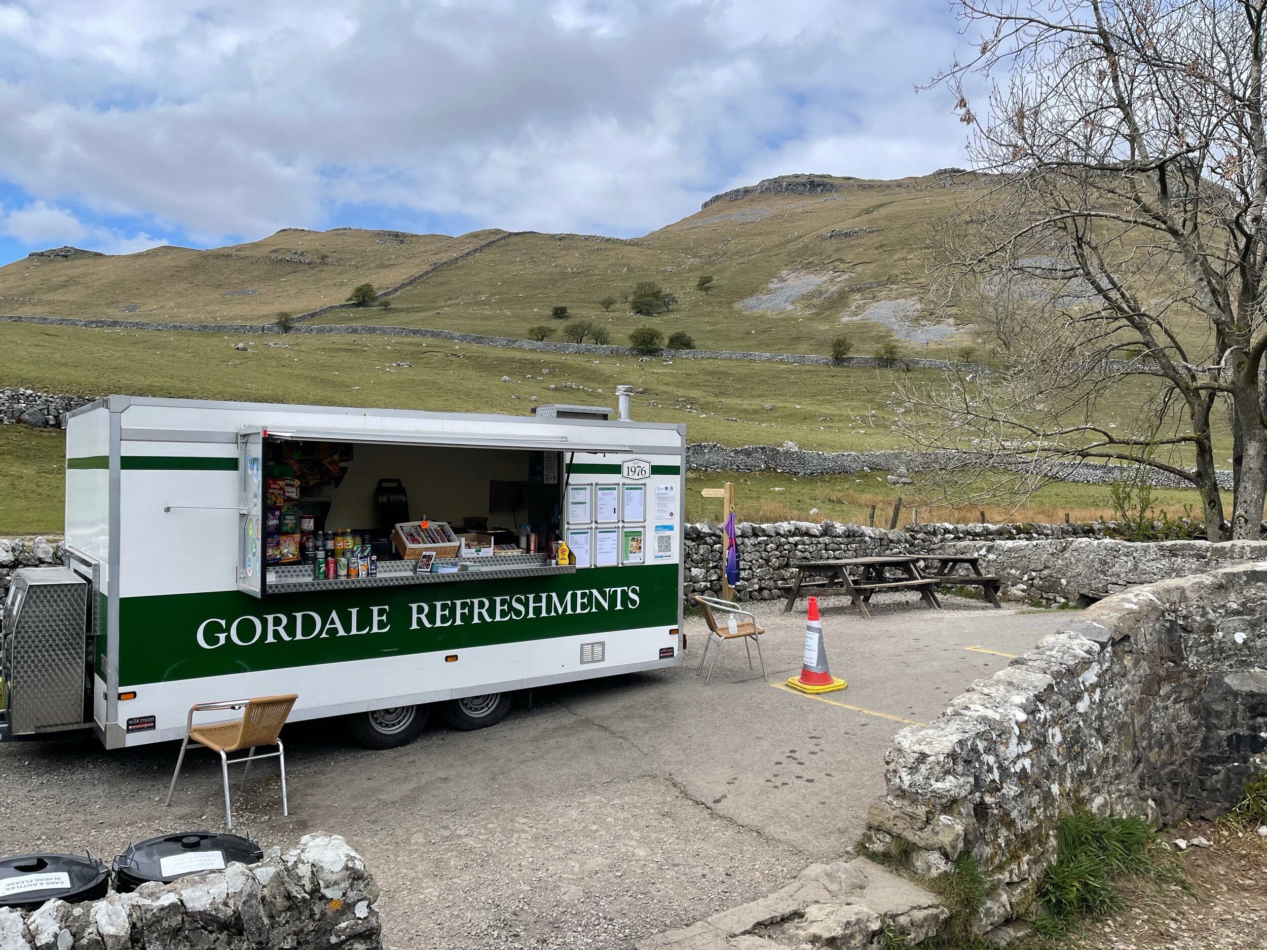
Start: National Park Centre, Malham
Navigation link: follow the trail here
Feel like you might’ve accidentally clicked the wrong link?
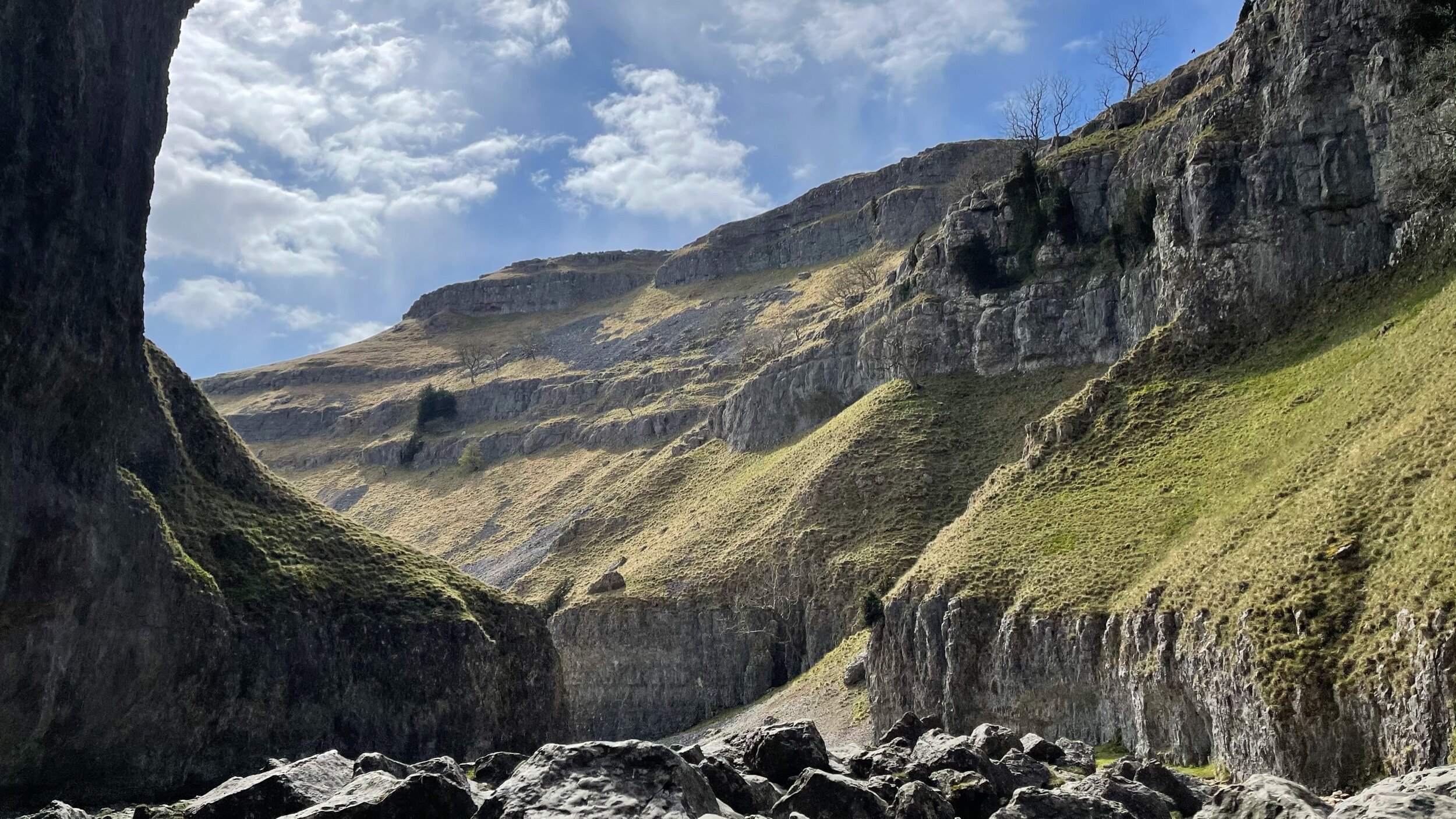
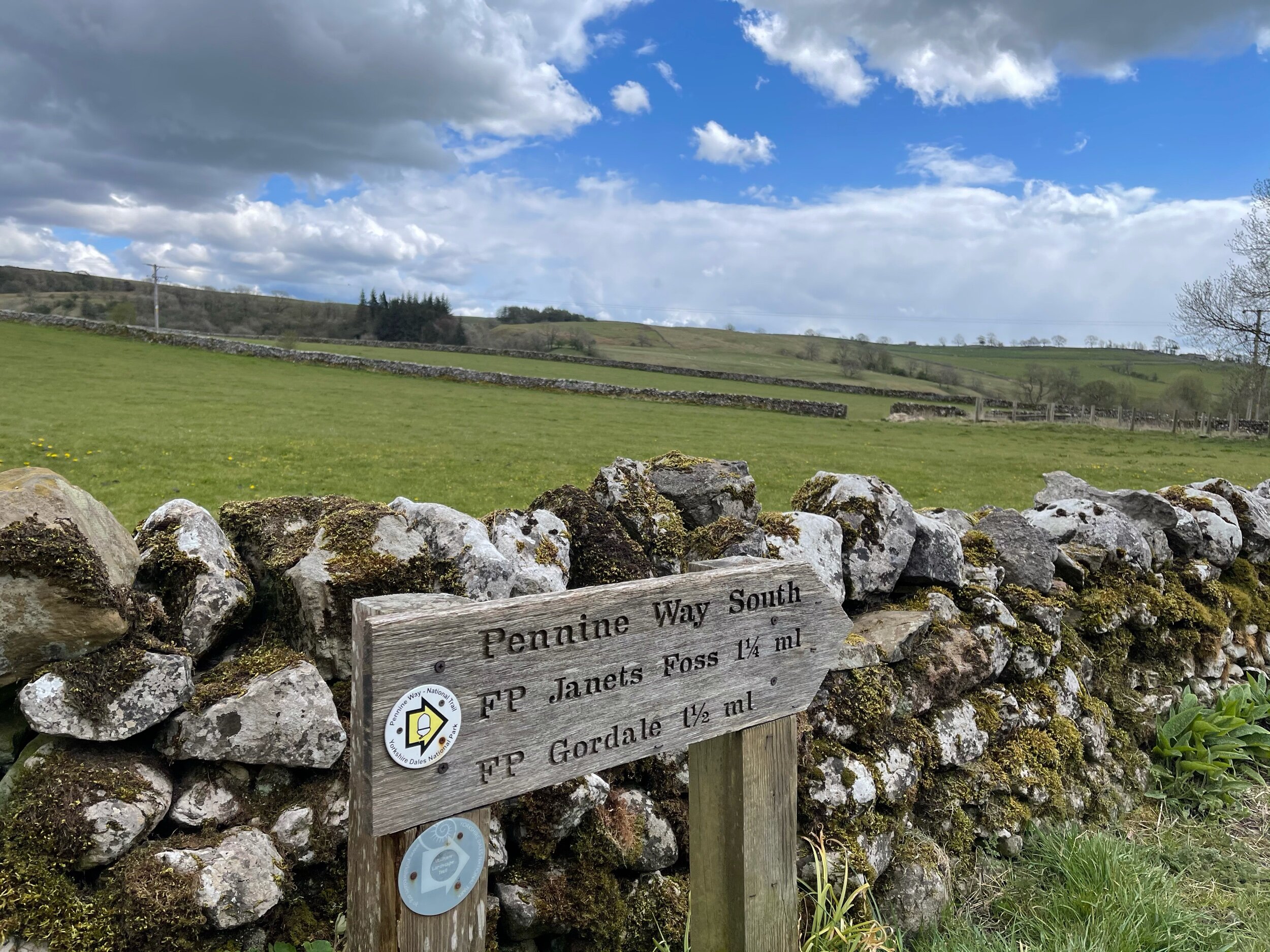
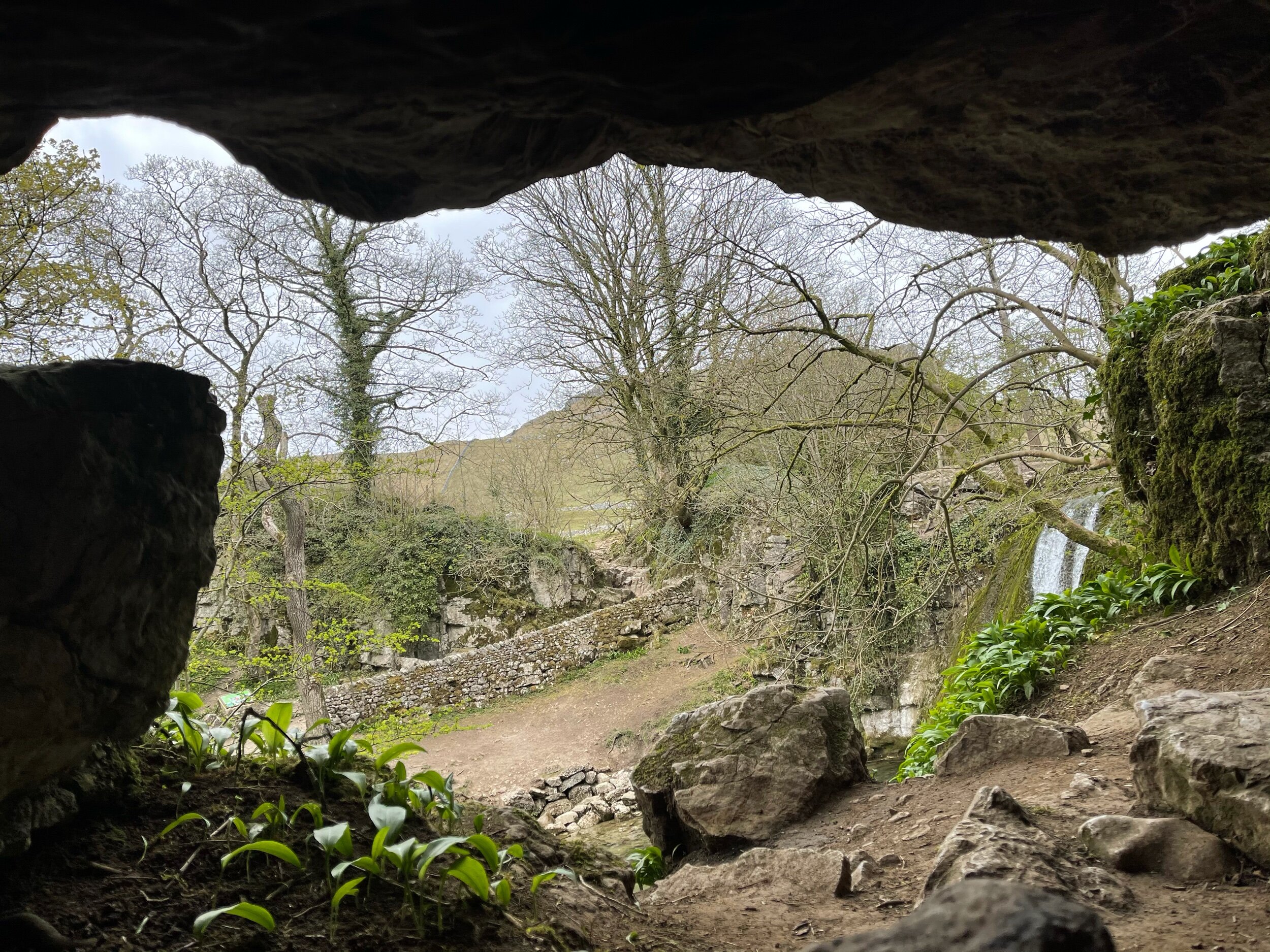
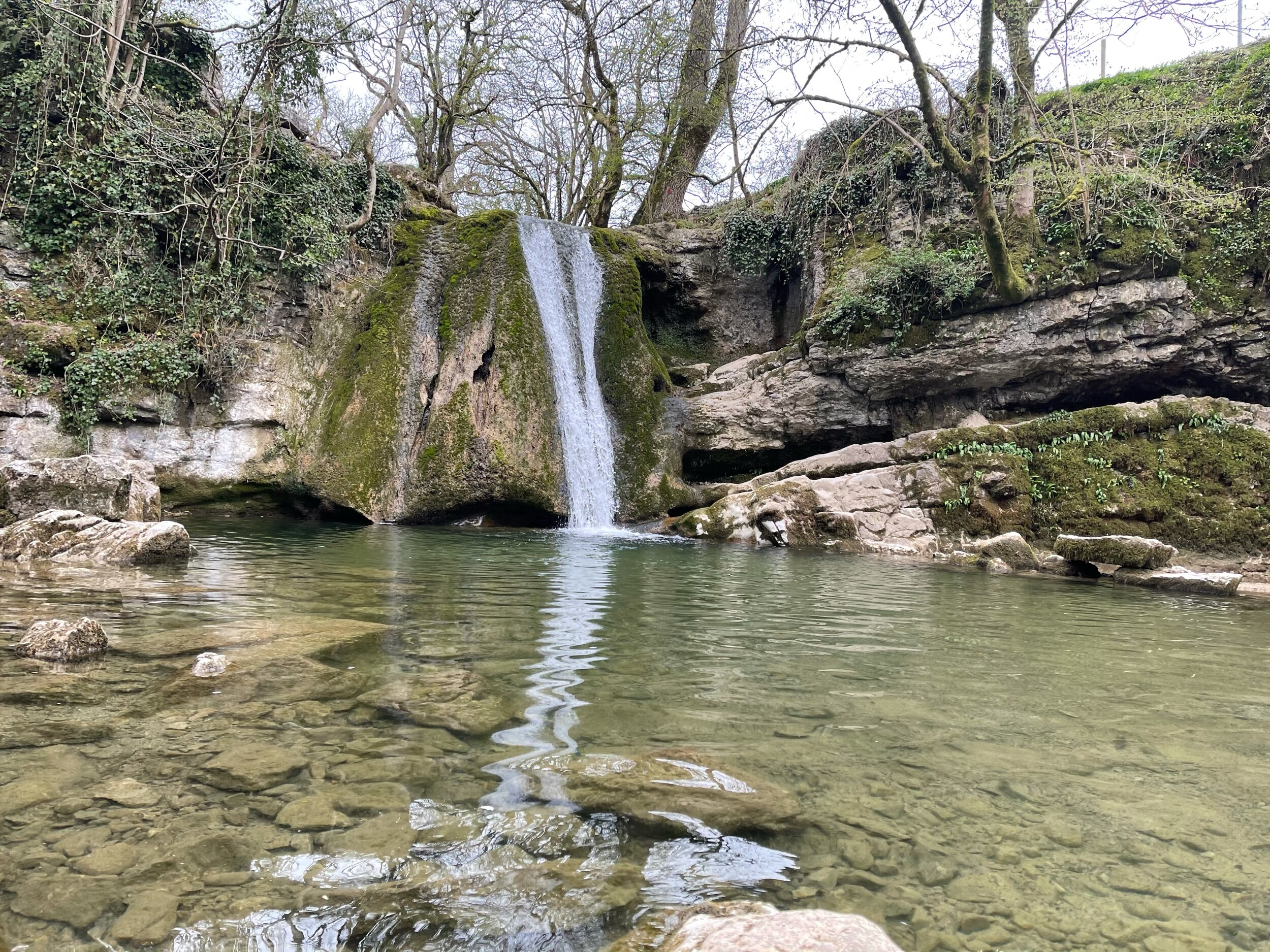
As much as these images feel like another country entirely, they’re still very much within driving distance to our rainy city! This trail truly has it all: not one, but two fairytale-esque waterfalls (Janet’s Foss and Gordale Scar), a hidden cave… and a cove that wouldn’t look out of place in Arizona… and a fairly flat route throughout!
A magnet for families and ramblers alike, Malham, North Yorkshire is home to so many enchating places to explore — that said, it can get pretty busy in the summer months, so if you’re after a less populated stroll, we’d recommend popping down during the week.
Unlike a lot of other waterfalls in the surrounding area, Gordale Scar allows walkers to discover its beauty without having to undertake a difficult climb en route.
Fancy a dip? Wild swimming has become immensely popular over the past year - and we couldn’t think of a better place to dip a toe in than this one!
All in all, if you’re looking for one of the best walks in the Yorkshire Dale’s — you’re sure to find it in Malham.
Follow the route step by step here — or if you fancy shortening the route, a quick pit stop to the National Park Centre will have you set.
MAM TOR, SHIRE
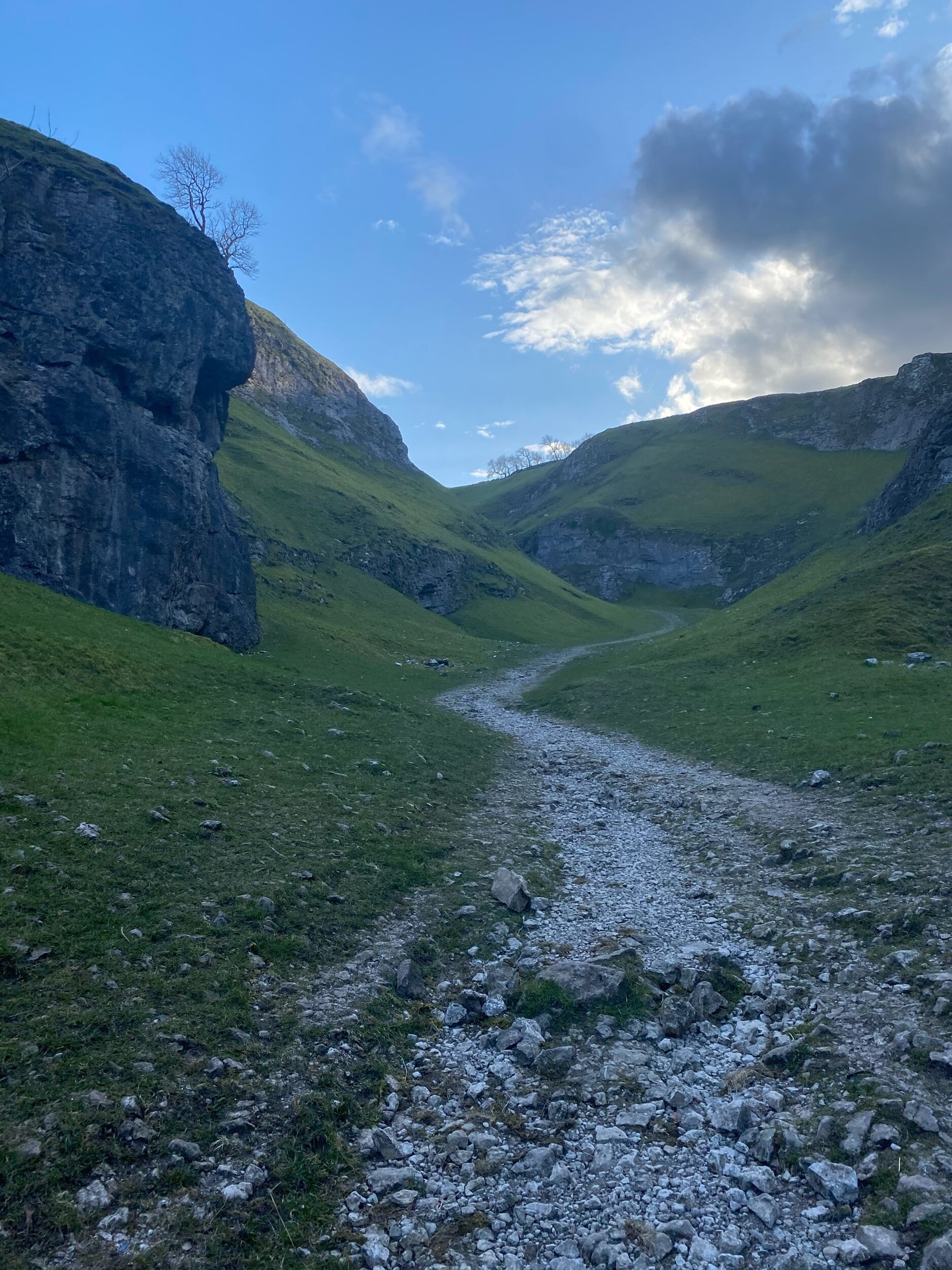
An alternative climb to the usual Mam Tor route — taking in the beauty of Cave Dale and Castleton’s best bits
A stunning walk starting in Castleton taking in some of The Peak District’s most incredible views
Start: Peak Cavern, Castleton
Distance: 7.41 miles
Duration: 3-4 hours
Ascent: 1,700 feet
Navigation: follow the trail step-by-step here
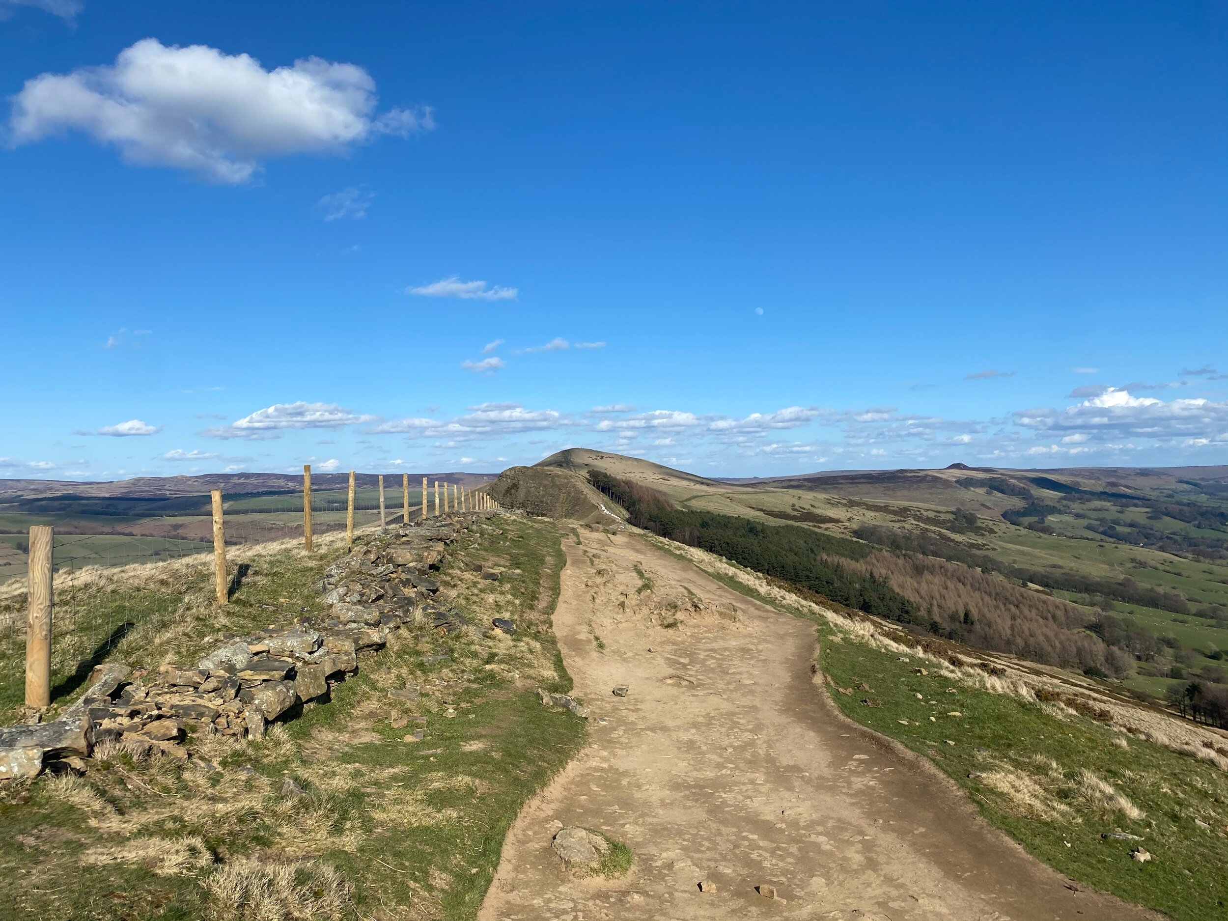
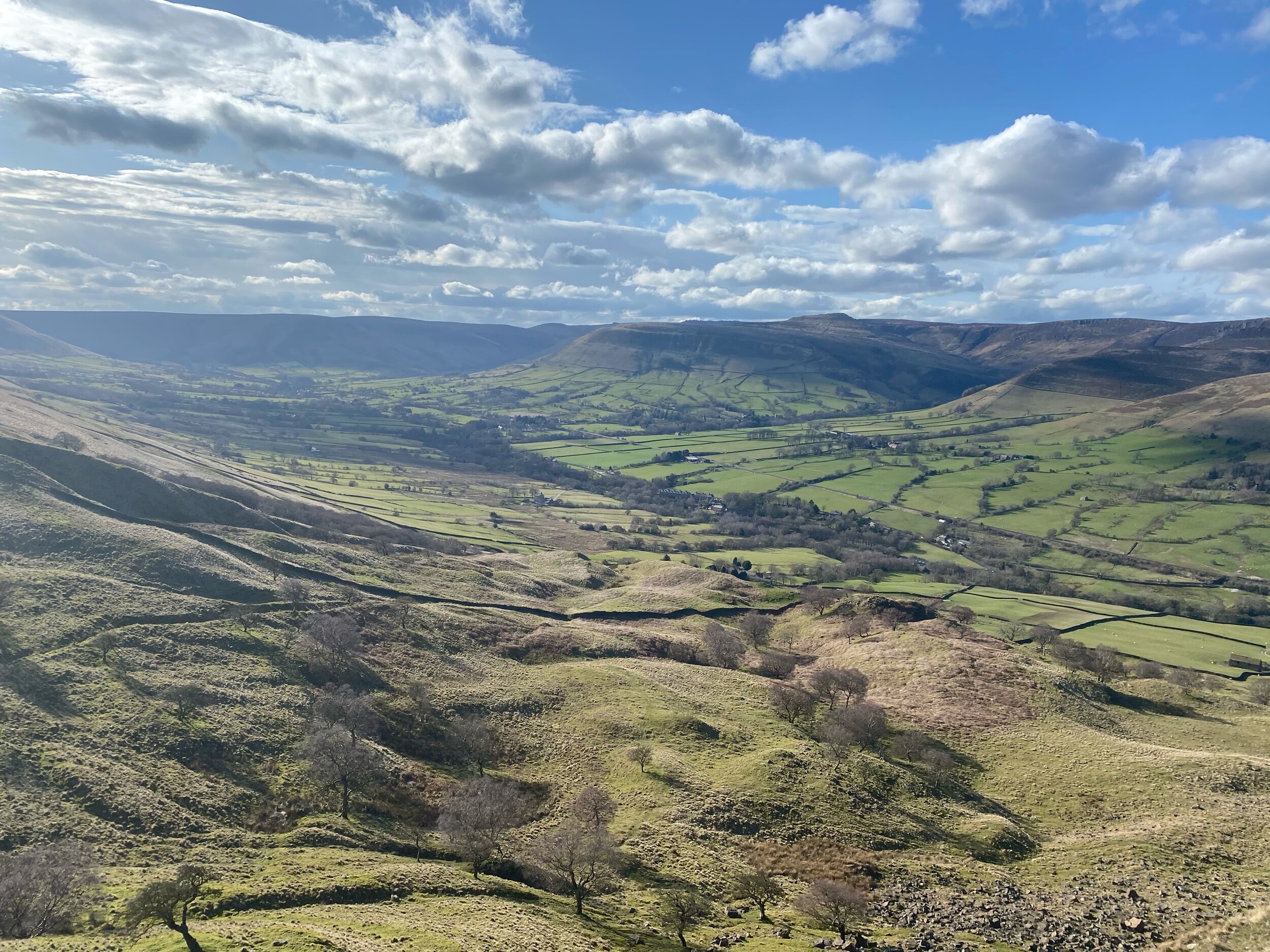
Offering more scenery than you can shake a walking pole at, The Peak District offers a plethora of adventures — and Mam Tor is certainly up there. If green valleys, friendly summits and routes for all abilities sounds like your cup of tea, then a trip to Mam Tor is a must.
Nestled on the foothills of Castleton and Edale, Mam Tor offers something for everyone — the route below is a little on the challenging side, but by following the waymarked paths set out by National Trust, a day out here is never hindered by ability.
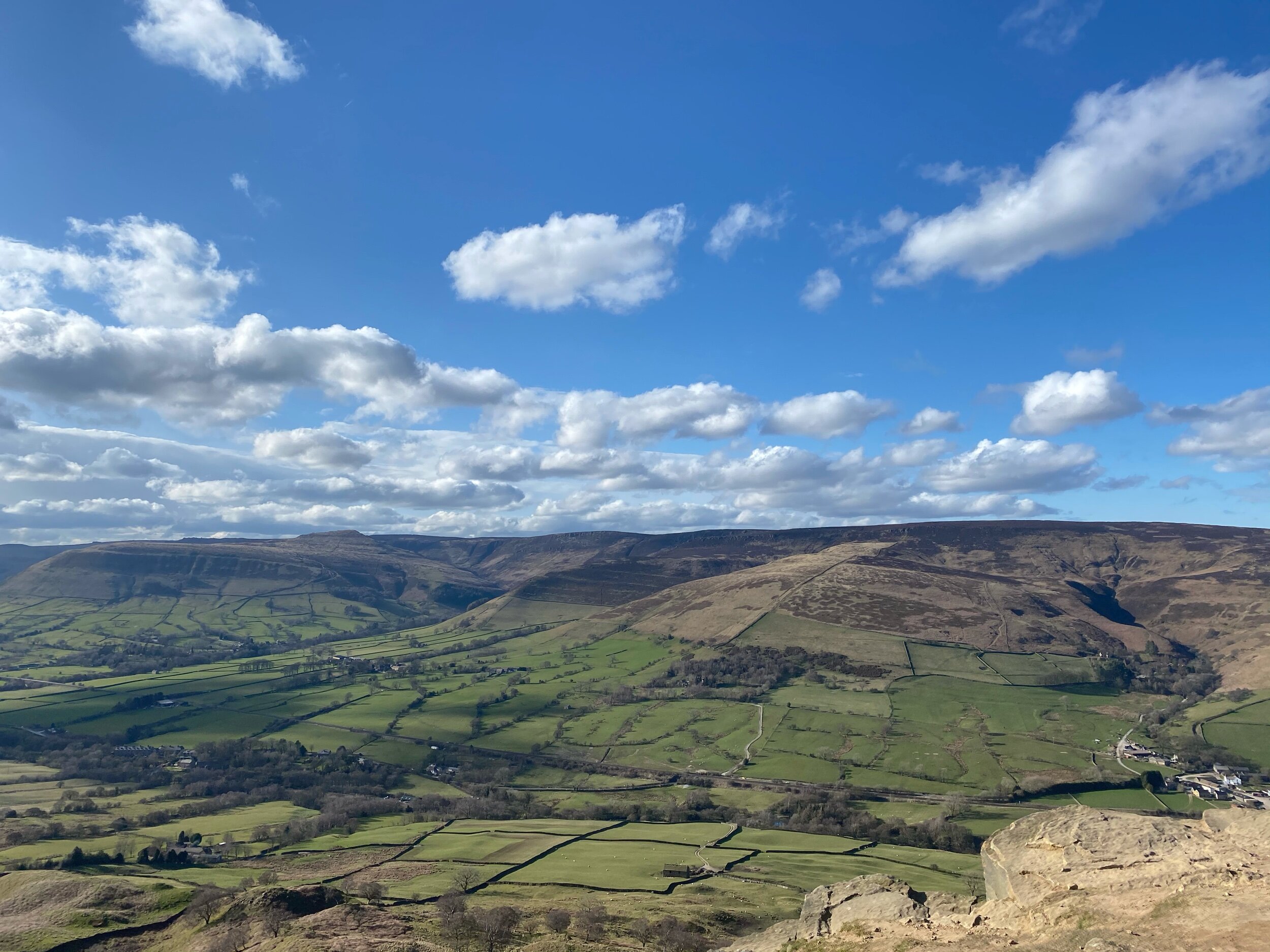
Arguably the star attraction of the Peak District, Cave Dale and Mam Tor attracts walkers from all across the globe. Standing at 517 metres tall, Mam Tor sits on the edge of the Dark Peak and the White Peak — boasting spectacular views for miles around, including every photographer’s favourite: Winnats Pass.
On a really clear day, you can even see our city in all its glory — keep an eye out for a good weather day before you plan your trek, the views are definitely worth it.
This route itself is a little on the challenging side — but should you want to take in the views with a little less of a climb, parking at Mam Tor’s National Trust carpark gives you the best of both worlds.
The weather changes fast on this peak — so remember to pack extra layers, and enjoy the view!
UPHILL CHALLENGES:
WALKS WITH WATERFALLS:


