THIS WEEK’S FEATURED WALKS:
ALL TRAILS
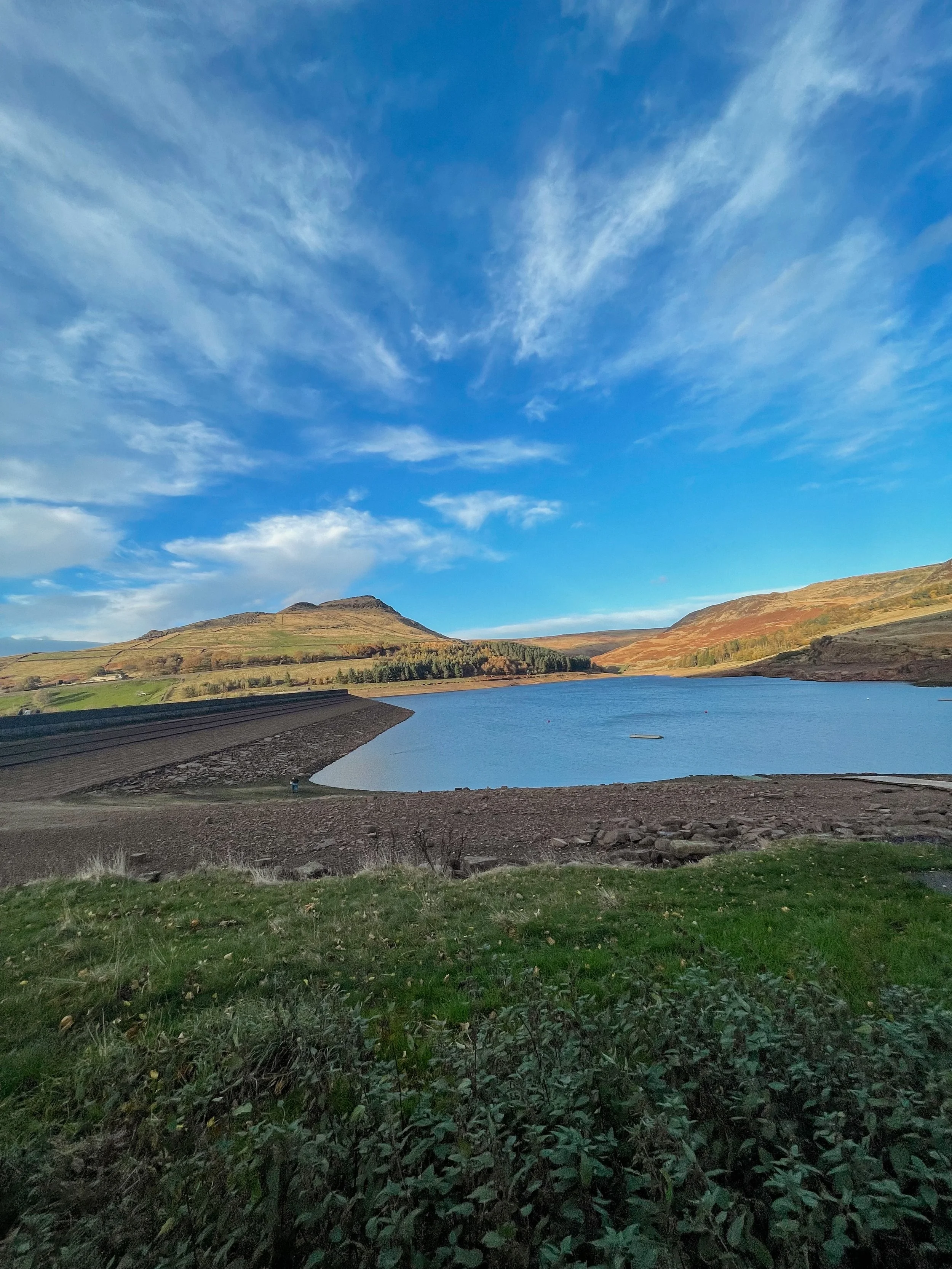
YEOMEN HEY - DOVE STONE LOOP
Discover the best walking routes around Dovestones - a hiker’s guide to the lesser-known trails
Start: Greenfield, OL3 7DD
Distance: 7.33 miles
Elevation: 1,000 feet
Duration: 3-4 hours
Navigation: follow along here
Fed up of the same old walking routes that offer nothing more than a flat path and an average view?
Well, how about getting the best of both?
Our route around Dove Stone Reservoir to Yeomen Hey Reservoir route is not only beautifully flat to begin with but offers a bit of a challenge towards the end, too.
Starting in Greenfield, the route begins with a gentle stroll up to the banks of the reservoir — a great way to warm up before the climb begins.
After about a mile or so around the reservoir, you'll come across a steep climb that leads up to the Yeomen Hey Reservoir. The climb is only short, with most of the ascent accruing in one stint — but the views from the top are more than worth it. From here, you'll be rewarded with insane views, with rolling hills as far as the eye can see.
The path continues along the edge of the Yeomen Hey Reservoir, and it's here that you'll start to hear the sound of rushing water. That's because you're approaching the waterfalls. These waterfalls are a series of cascades that run down the hillside, and they're truly beautiful.
To ascend towards the waterfalls you'll need to do a bit of scrambling. It's not too difficult, but it's worth noting that it can be a bit slippery and caution is required. We recommend climbing up our way and then down the waterfall, but the route can be reversed if you prefer. Just be careful and take your time — and hiking boots are definitely needed for this.
Once you've reached the bottom, take a moment to catch your breath and enjoy the view. You'll see the water cascading down the rocks, creating a natural pool at the bottom. It's a perfect spot for a quick dip if you're feeling brave.
From here, the route continues along the top of the hillside, offering panoramic views of the surrounding countryside. You'll eventually come to the Yeomen Hey Reservoir, where you can take a break and enjoy a picnic by the water's edge.
After your rest, it's time to head back around Dovestones and on to greenfield. The route back is a bit easier, with a gentle descent down the hillside. Take your time and enjoy the view – you'll see the reservoir in a whole new light on the way back.
And better yet, once you’re near the starting point, a pint will be waiting for you at The Clarence in Greenfield.
Enjoy!
ETHEROW TO WERNETH LOOP
Discover Greater Manchester’s best hidden gems on this multiple-country park woodland walk
Start: Etherow Country Park, SK6 5DJ
Distance: 9 miles
Duration: 4 hours
Elevation: 1,500 feet
Navigation: follow the route here
Fancy experiencing all the seasons in one day?
Well, you're in luck, because this walk from Etherow Country Park to Werneth Low Country Park and confused mid-winter weather is what Great Manchester does best.
But don’t worry, with stunning scenery throughout and a dash of history thrown in for good measure, this walk is guaranteed to be a crowd-pleaser.
Our journey begins at Etherow Country Park — one of Britain’s first country parks. With 240 acres of greenspace, this place has an abundance of wildlife… and a waterfall you don’t want to miss!
But don't get too distracted by the fauna, because we've got a hill to climb. Yup, after a short stroll around the Keg Pool its time to climb up to Werneth Low Country Park.
Along the way, take a moment to catch your breath and admire the stunning panoramic view. Once atop The ‘Low, you’ll be quickly rewarded with immense views all across Manchester, the Peak District National Park, and the Cheshire Plain.
History buffs, we've got a couple of landmarks for you to check out. The first is the Werneth Low War Memorial, which was erected in 1921 to honor the soldiers who died in the First World War. It's a stunning monument, made of granite and topped with a bronze figure of a soldier.
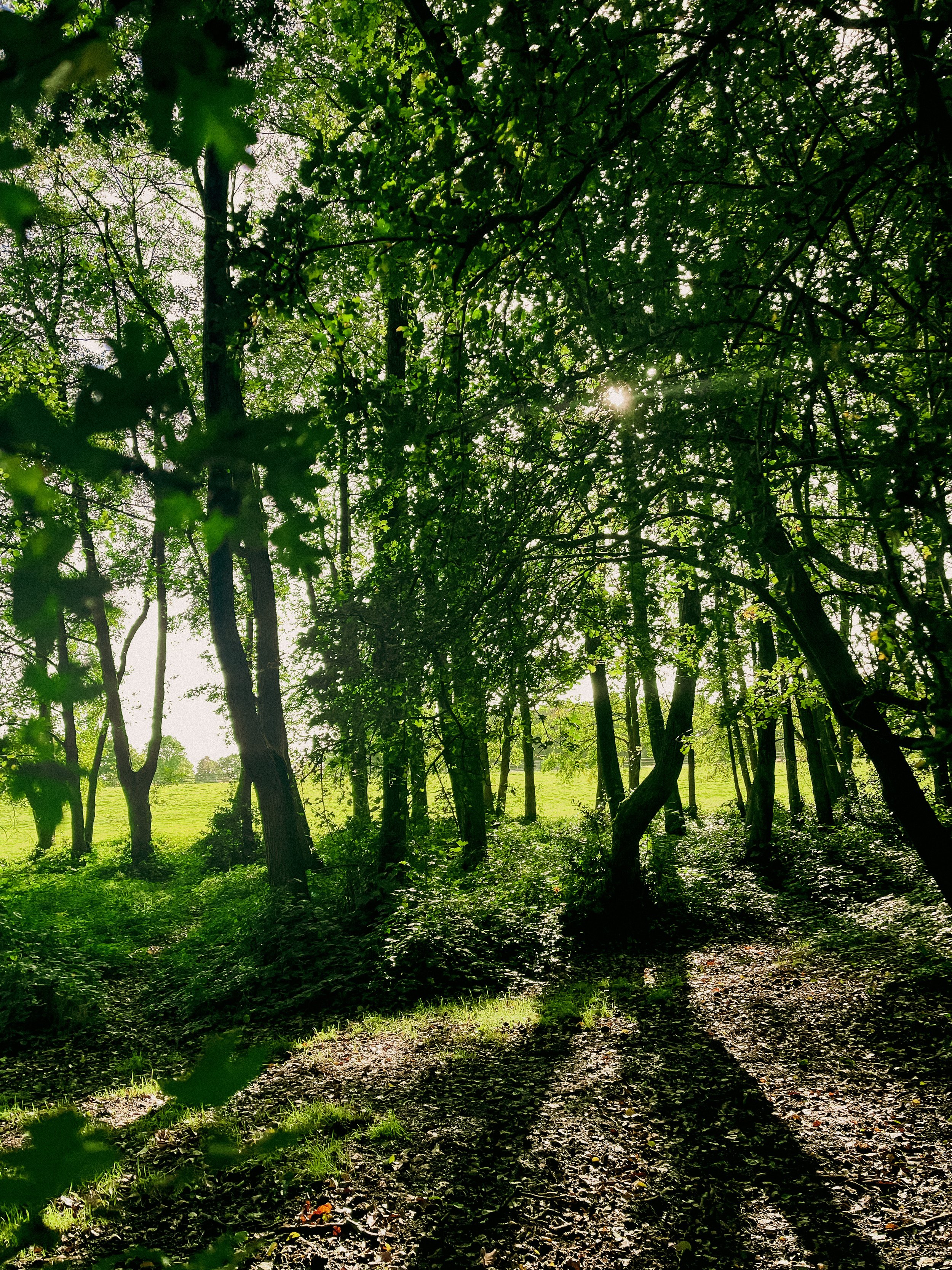
After resting your legs and taking in the views, we make our way through the woodlands around Charlesworth and Broadbottom — each nothing short of idyllic. The trees are tall and imposing, the paths are winding and mysterious, and the wildlife is abundant. And if you’re up for a detour, the other landmark to check out is the Broadbottom Viaduct, which spans the valley between Broadbottom and Mottram.
Now, I know what you're thinking: a viaduct doesn't exactly sound like the most thrilling pit stop in the world. But trust me, this one is a real beauty. It was built in 1842, it's made of brick, and it has 27 arches. If you're an aspiring artist or photographer, this is the perfect spot to flex your creative muscles.
So, there we have it: a string of local country parks in one gorgeous route.
As local routes go, this one is a true belter.
Ready to follow along? Follow the route here
BEST WALKS IN THE PEAK DISTRICT: TOPLEY PIKE
Discover the beauty of the Peak District: Harpur Hill to Blue Lagoon
Start: Harpur Hill, SK17 9LD
Distance: 7.11 miles
Duration: 2-3 hours
Elevation: 475 feet
Navigation: follow the route here
If you're looking for a fun and adventurous way to explore the best walks near Manchester, look no further than Topley Pike Nature Reserve: home of rolling hills, all-to-yourself valleys and stunning surrounds every way you turn.
It’s one of the less busy routes you’ll find in the Peak District, making it the perfect base to escape the hustle and bustle of everyday life and immerse yourself in the tranquility of the great outdoors.
Starting from Harpur Hill, this small village in Buxton is the ideal place to begin a leisurely stroll up to Topley Pike. From here, you'll set out on a winding path that will take us towards Topley Pike Nature Reserve. Please note, the outward trip to Topley Pike is via an unpaved a-road, so please take care during this section of the route.
Once you’ve made it to the boundary, you'll be rewarded with stunning views of the Thirst House Cave, a true wonder of the Peak and a must-visit for any outdoor enthusiast.
After admiring the tranquility of Thirst House Cave (you’ll struggle to see another soul along the way!), continue on to Deep Dale, a peaceful valley surrounded by rolling hills and lush vegetation. This idyllic spot is perfect for a picnic or a quiet moment to take in the serenity of the area. AWith narrow, winding paths and wildlife darting amongst the trees, this section of the route is a true feast for the senses.
Now to head back to the starting point for the main event: Buxton’s infamous ‘Blue Lagoon’.
With its striking blue colour and picturesque white shores, Harpur Hill Quarry in the Peak District is the perfect example of a dangerous beauty. The pool is no hidden gem — thousands of people visit the site each summer, which is why we much prefer a visit during winter. Plus, there’s no danger of anybody jumping in during this season… which, trust us, is something nobody wants to do.
Its vivid colour is actually a result of freezing cold rainwater mixing with minerals discarded from decades of the industrial burning off of quicklime. The toxic mix of chemicals in the water have the same pH value as bleach, which could cause anything from skin irritation to severe sickness.
Interested to know more? Scroll down to read more about the History of Blue Lagoon.
Whether you’re interested in the history or just here for the views, lease do take care and observe the ‘no swimming’ signage. This is no dipping spot!
Despite its dangers, Blue Lagoon remains one of the most popular destinations in the Peak District — and after another trip up in winter without the crowds, we can certainly see why.
Still here, are ye?
Get out there and explore the best walks near Manchester, here.
The History of ‘Blue Lagoon’, Buxton
Harpur Hill, officially known as Hoffman Quarry, has a very long and rich history producing quicklime, with small-scale lime burning beginning in the 1600s, before large-scale quicklime production was carried out beside the quarry from 1835 to roughly 1952. The bigger production demands meant using larger shaft kilns, which led to the use of a multi-chambered Hoffmann kiln, operated by Buxton Lime Firms Ltd.
During the Second World War, the quarry was used by the RAF as a depot to store chemical weapons – the biggest such site in the country at some 500 acres. Later, Harpur Hill was deemed a good place to dispose of captured German chemical munitions. The surrounding hills were used to burn such weapons as phosgene and mustard gas with bleach, sending plumes of acrid smoke into the air. The depot shut in 1960 with the area remaining vacant ever since. Incidentally, the site was also home to an RAF Mountain Rescue team who would respond to air crashes the length and breadth of Derbyshire.
In 1980, the Hoffmann lime kiln was demolished in an effort to create space for an industrial estate. Massive volumes of solid waste left over from the lime burning were dumped in nearby tips, thus creating spoil heaps contaminated with traces of quicklime plus ash from the coal used in the process.
The aforementioned rainwater filtering through the waste leaches calcium hydroxide and in turn becomes heavily alkaline. Signs dotted around the site clearly say the water can cause "skin and eye irritations, stomach problems and fungal infections such as thrush" and that the quarry is known to contain all manner of things you definitely don’t want to go swimming with – including dead animals, excrement, car wrecks, and piles of rubbish.
Despite its inviting Mediterranean hue, the water is extremely cold. Yet many seem to still view the area as a popular tourist destination, causing much frustration for nearby residents.
WORSLEY WOODS:
Short on time? This short loop around Worsley will scratch your Sunday Walk itch.
Discover the best 3 mile walk close to Manchester City Centre
Start: Worsley, M28 1XP
Distance: 3.58 miles
Duration: 1.5 hours
Elevation: 100 feet
Navigation: follow the route here
Are you looking for a scenic and peaceful walk that's just a stone's throw away from the hustle and bustle of Manchester city centre? Want to spice up your daily exercise routine with a touch of history and local charm?
Look no further than this short but scenic loop around Worsley.
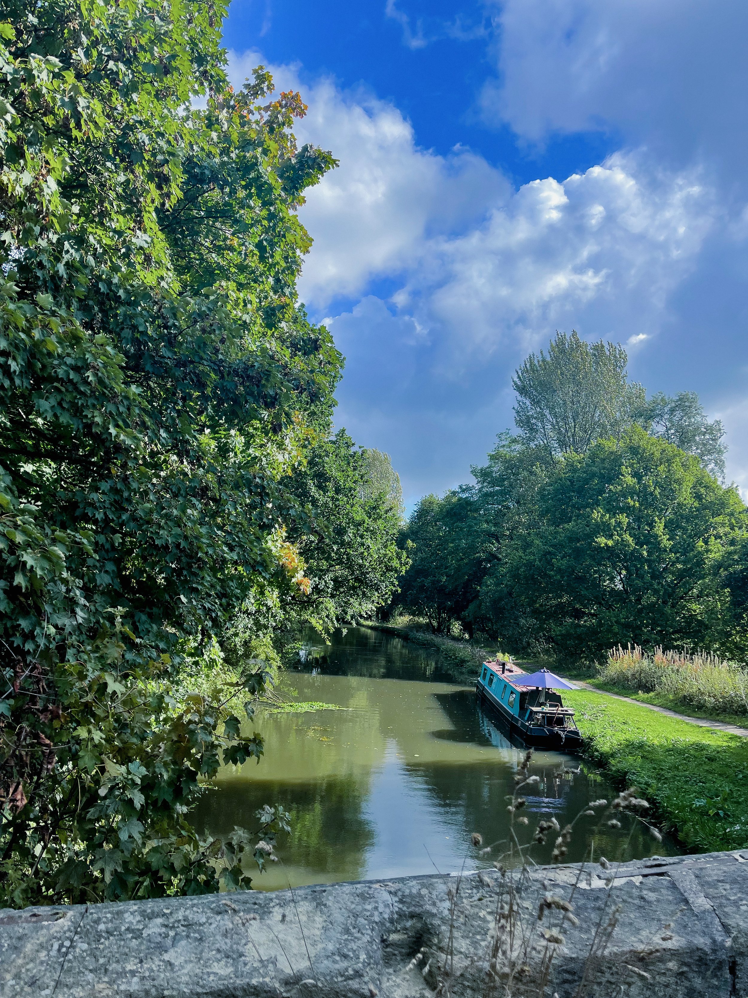
This charming town has a wealth of scenic walking routes that will make you forget you're even getting a workout in. Whether you want to stroll around the village or take a leisurely mooch along the Bridgewater Canal, Worsley has something for all types of walker.
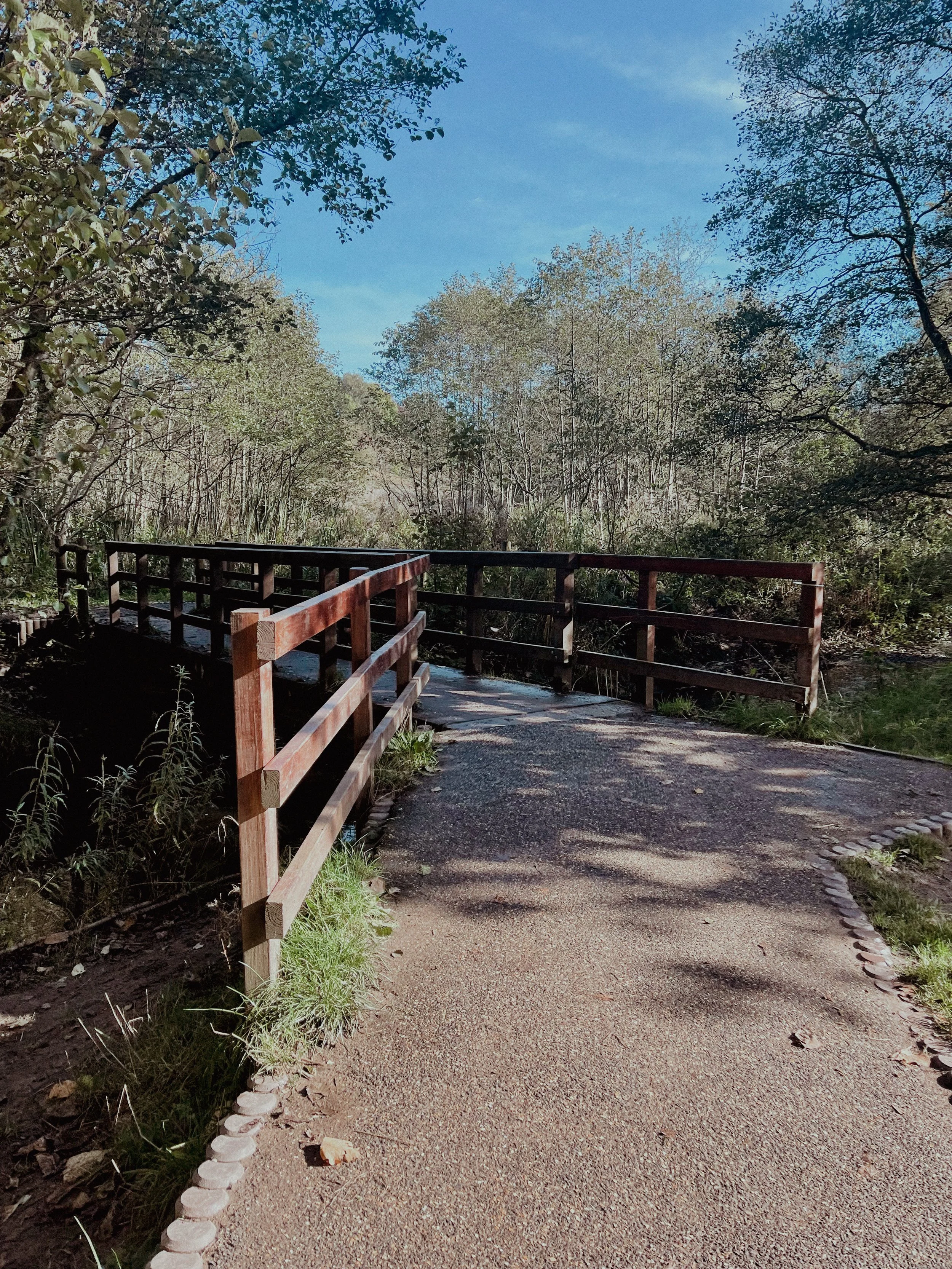
Along the way, you'll come across hiking highlights like Worsley Greenway, a flat and scenic trail that follows the route of an old railway line. Surrounded by untouched scenery, this trail is the perfect place to escape the hustle and bustle of city life and soak up that much-needed peace and quiet.
But let's be real, the best part of any walk is the pit stops along the way… and thankfully, Worsley delivers.
With plenty of cosy pubs and independent shops to choose from, you’ll be spoilt for choice on this route. A must-stop is the famous Worsley Old Hall, a 17th century pub that still serves up traditional English ales and hearty pub grub.
Fellow sweet tooths, we got you. Pop into Roccos Desserts on your joruney home.
And while you’re up this end, don't forget to take a peek at the historic Worsley Court House, a 17th century building that was once used as a court house for the local area and is now a museum showcasing the rich history of Worsley and its surroundings.
Fancy making a day of it? If you want to extend the route, you can take a stroll along the Bridgewater Canal or Worsley Greenway. Both offer even more breathtaking views and endless opportunities for a good old mooch.
The Bridgewater Canal is one of the oldest and most historic canals in England, and as for it’s exploring potential? Well there’s a reason it remains a popular destination for walkers, boaters and history buffs alike.
Over the years, the canal has undergone many changes and improvements, including the construction of several locks and the digging of numerous new branches. The canal was used extensively during the Industrial Revolution, with barges transporting raw materials, goods, and passengers to and from Manchester.
Despite its age, the Bridgewater Canal remains an important part of England's transport infrastructure to this day. In recent years, it has been restored and improved, making it a popular destination for walkers, cyclists, and boaters. The towpath that runs alongside the canal is now a well-maintained footpath and provides a peaceful and scenic route for walkers to explore the local area and enjoy the wildlife and scenery.
Whether you're a local or just visiting, this 3 mile walk around Worsley is the perfect way to escape the city and immerse yourself in the natural beauty of Greater Manchester… yes, it does exist.
With its stunning views, quaint pubs and shops, and rich history, this short walking loop is one of the best you'll find so close to Manchester city centre.
Still here? Go grab your comfy shoes and head out on a walking adventure in Worsley, instead.
Who knows, you might even find your new favourite pub.
Follow the route here
PRESTBURY CIRCULAR
If you're looking for a leisurely stroll not too far from home, then a walk round Prestbury village is a must.
Start: Prestbury Village, SK10
Distance: 4.96 miles
Duration: 2 hours
Elevation: 200 feet
Navigation: follow the route here
You can’t beat a local walk, and for us, it doesn’t get much better than one with the holy trinity: quiet surrounds, independent shops and a traditional pub stop to boot. Not only will this short loop around Prestbury Village give you a chance to stretch your legs, but it'll also give you a chance to stretch your Instagram feed with picturesque views of the local area.
The route starts at the village green, where you can take in the views of the picturesque Cheshire countryside. From there, head down Church Street, where you'll be greeted by charming houses and cottages that will make you feel like you've stepped back in time. As you stroll down Church Street, make sure to pop into St. Peter's Church for a dose of medieval architecture and some impressive carvings and stained glass windows.
Next up is the Prestbury War Memorial, a sobering reminder of the sacrifices made by the local community during World War I and II. But don't let the heavy thoughts weigh you down for too long, because the village cricket ground is just around the corner. Take in the sights and sounds of a local game in progress, or just enjoy the quiet surrounds as you meander through the winding bridge-lined woods.
But the real highlight of this walking route is the quaint and charming Bull's Head pub. This traditional pub serves a variety of delicious local ales and ciders, as well as a selection of hearty pub grub. And if the weather's nice, grab a seat in their beer garden for some al fresco dining with a view.
After a pint of the good stuff and a bite to eat, you’re halfway through the route and ready to make your way back to the starting point at the village green.
But don't worry, your journey doesn't have to end here. Prestbury village in Cheshire offers a variety of scenic walking routes, and the charming Bull's Head pub is always open for a well-deserved break. So, pack your comfortable shoes, grab your camera and head to Prestbury Village.
Ready to go? Follow along step-by-step here
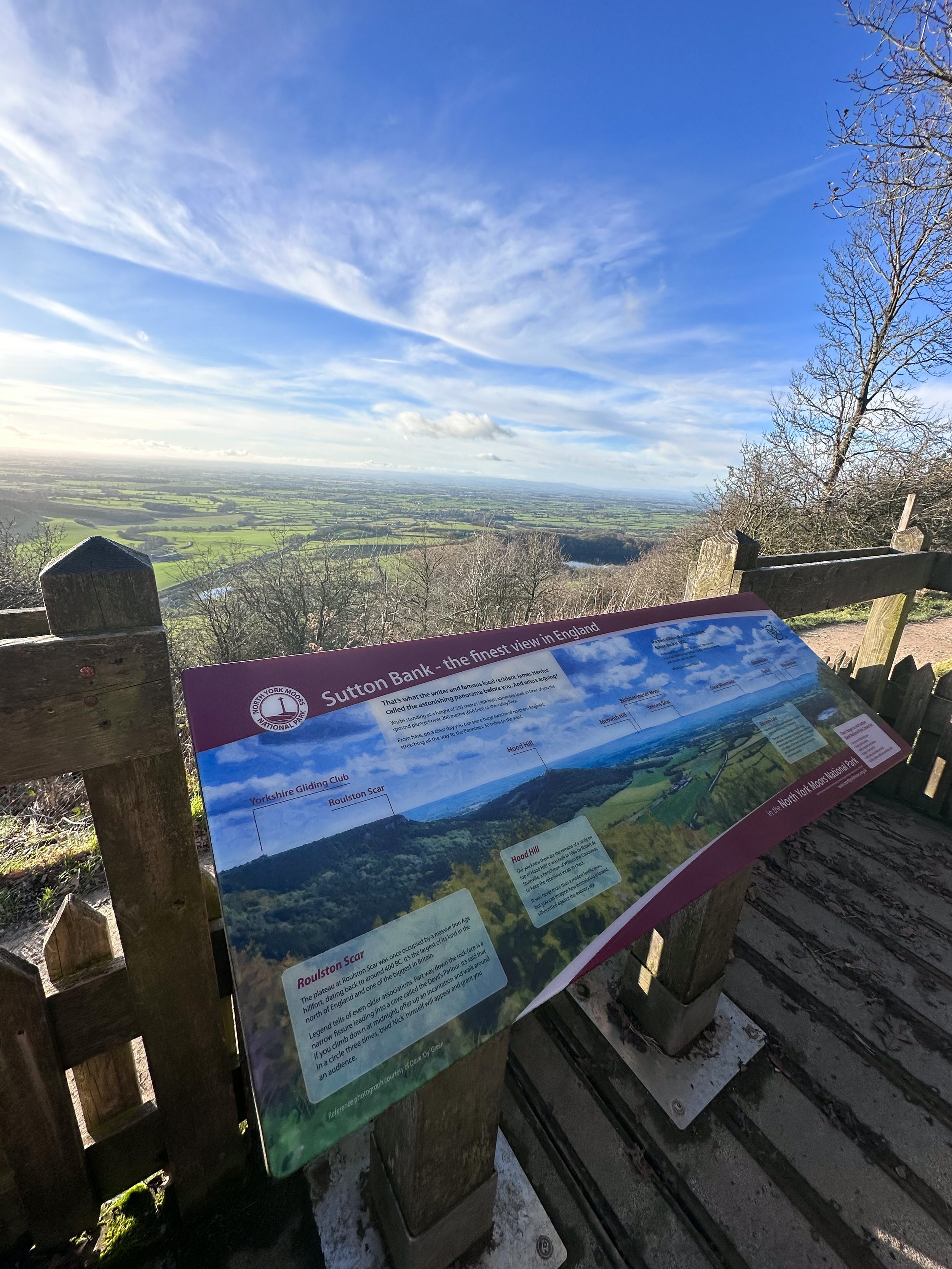
BEST WALKS NORTH YORKSHIRE: KILBURN WHITE HORSE
If you’re after a walk that has it all - from hidden lakes to cosy pubs - this route in North York Moors won’t disappoint
Start: Kilburn, YO61 4AH
Distance: 6 miles
Elevation: 875 feet
Duration: 2-3 hours
Navigation: Follow the route here
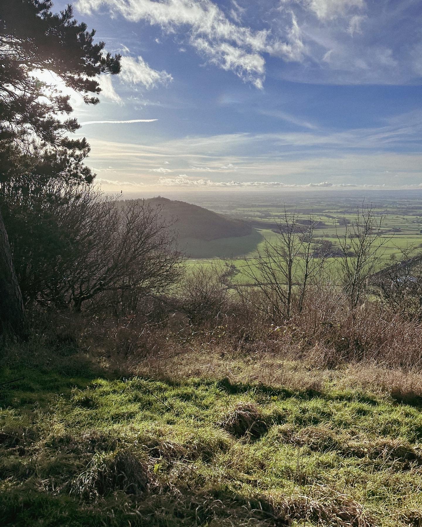
Tired of the same old boring treadmill walks? Want to spice up your exercise routine and take in some breathtaking views at the same time? Look no further than the North York Moors. The North York Moors is a beautiful and diverse area of natural beauty — making for a great base to explore the stunning landscapes, charming villages, and rich history of the region.
Walking in the North York Moors is like taking a step back in time. The rolling hills, lush green countryside, and charming villages will transport you to a simpler, more peaceful era. But don't let the idyllic scenery fool you, this area is also home to some serious natural beauty.
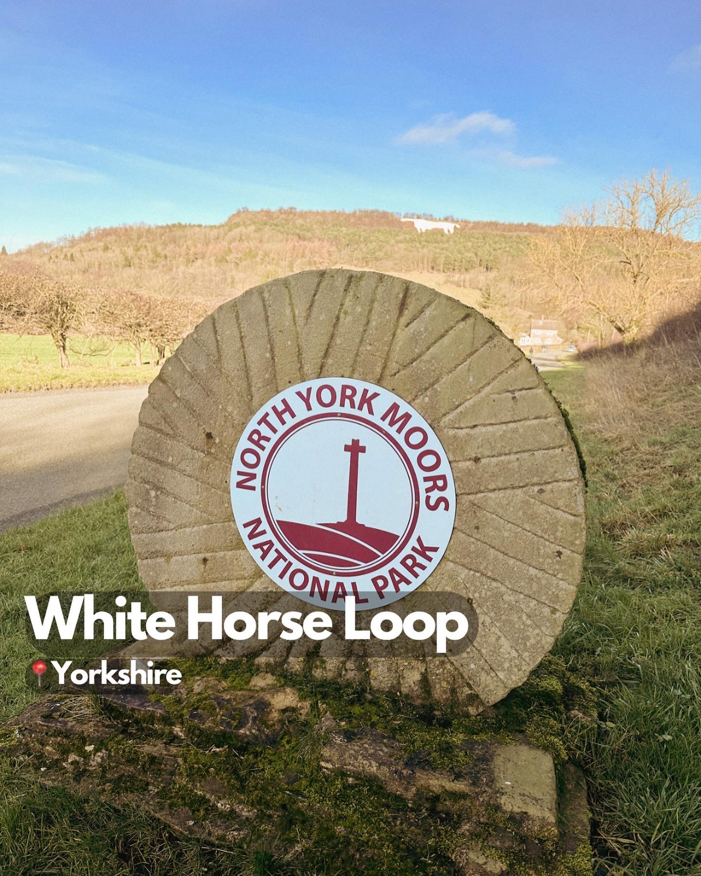
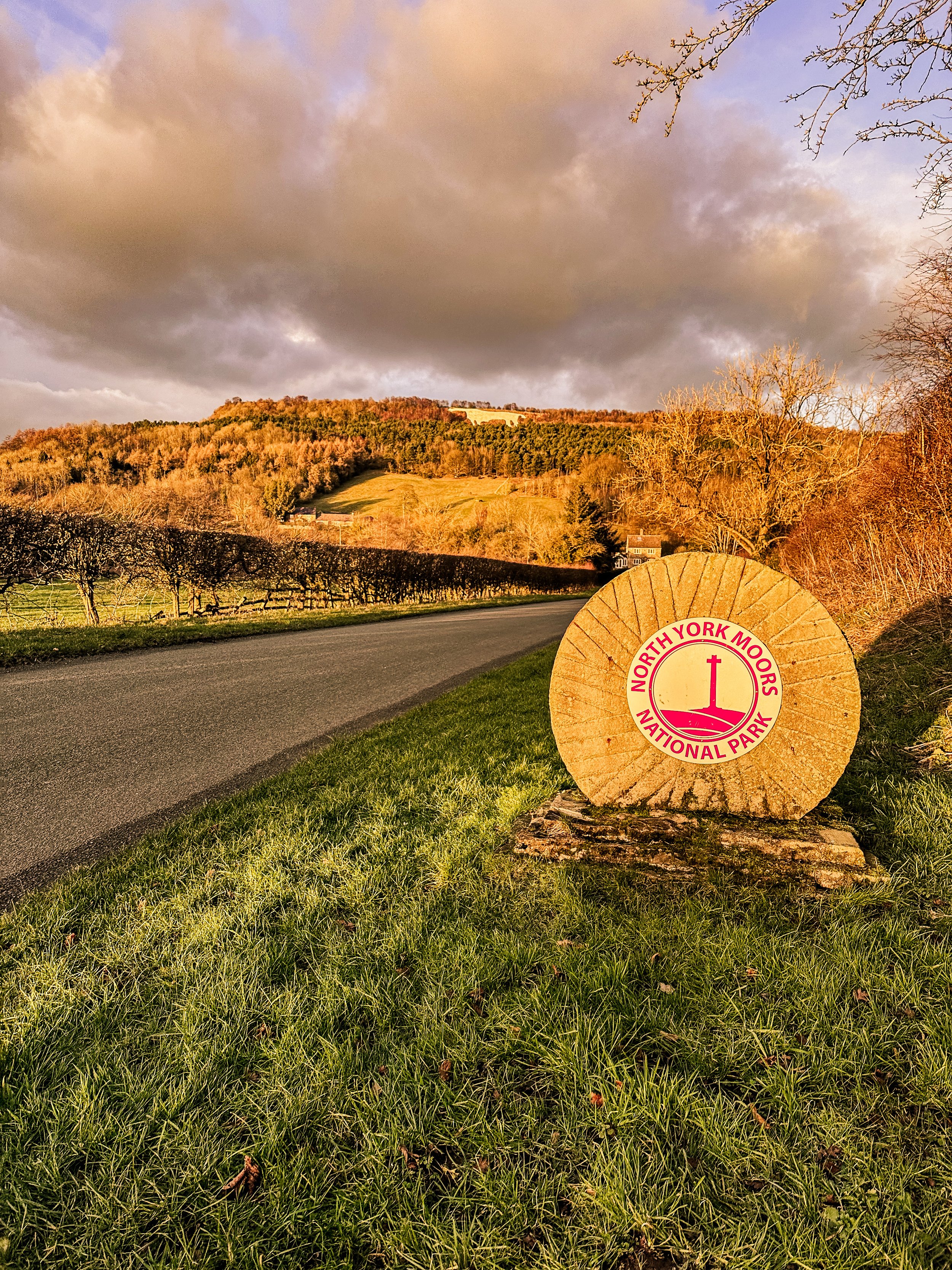
One of the must-see landmarks on a walk in the North York Moors is the Kilburn White Horse. This impressive hill figure, carved into the side of a hill, is believed to have been created in the 18th century and is a true marvel to behold. The best part? You can burn some calories and work those leg muscles while hiking up to get a closer look.
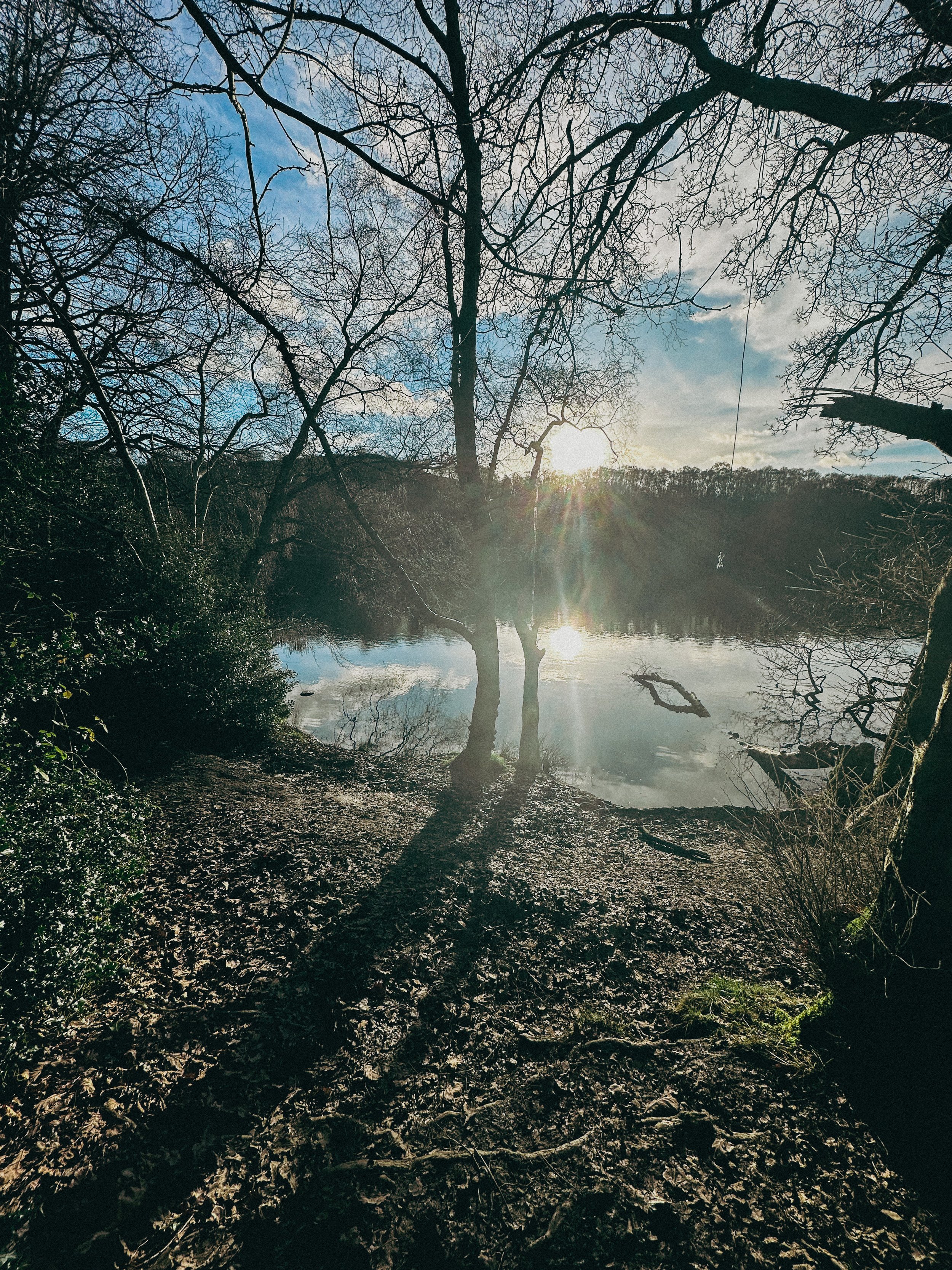
After you've had your fill of the Kilburn White Horse, head over to Gormire Lake for a more serene walking experience. This beautiful lake is surrounded by woods and heathland, and is a Site of Special Scientific Interest (SSSI) due to the diverse range of plants and animals that call it home. Plus, the flat footpaths make it a great option for those who aren't quite ready for a mountain hike… as long as you start at the white horse, that is. Our route starts just below and features a steady (and breathy) climb up to the start.
The origins of the Kilburn White Horse are shrouded in mystery, but it is believed to have been created in the 18th century. Some historians believe that it was created by a local farmer as a tribute to King George III, who was the reigning monarch at the time. Others believe that it was created by a group of local residents as a way to promote the area and attract tourists.
Over the years, the Kilburn White Horse has undergone several renovations and repairs. In 1857, a group of local residents formed the Kilburn White Horse Preservation Society, which was responsible for maintaining the horse and ensuring that it remained visible to the public. In the early 20th century, the horse was re-cut and re-chalked to ensure that it remained visible.
Today, the Kilburn White Horse is a popular destination for walkers and visitors to the North York Moors. It's a fascinating piece of history, and a testament to the enduring popularity of this ancient art form. The horse stands as a symbol of the area's rich history and culture, and a reminder of the importance of preserving our cultural heritage.
So next time you're considering a stroll up in’t the North York Moors, make sure to stop by the Kilburn White Horse and take a closer look. Not only is it a great workout for the ol’ legs, but a novel way to experience a piece of history that’s stood the test of time.
From the Gormire Lake to cosy country pub The Forresters Arms, the North York Moors is the perfect destination for nature lovers and pub dwellers alike. So scribble that gym sesh out your diary and head to the North York Moors for a walk you'll never forget. Trust me, your legs (and your Instagram feed) will thank you.
Ready to get going? Follow the route here
BEST WALKS WEST YORKSHIRE: LUMB FALLS
Lumb Falls, located just above the charming Hebden Bridge, is a hidden gem that’s not to be missed.
Start: Bowling Green Car Park, Heptonstall
Distance: 6.7 miles
Duration: 2-3 hours
Elevation: 1,250 feet
Navigation: follow the route here
Nestled in a lush, green valley surrounded by rolling hills that look out onto nearby Heptonstall, this picturesque waterfall is the perfect spot for a peaceful and idyllic walk.
The walk to Lumb Falls is fairly easy, with well-marked trails that lead you through fields and wooded areas. The route takes you along a small stream, with plenty of opportunities to spot wildlife and enjoy the peace and quiet of the countryside. As you approach the falls, the sound of rushing water becomes louder and louder, until you finally reach the viewing platform where you can take in the full majesty of the falls.
After taking in the beauty of the falls, you can continue your walk along the winding path that follows the river. The path takes you through a peaceful wooded area, where you may spot a variety of wildlife.
As you make your way back to the starting point, it's worth stopping off at the nearby village of Heptonstall for a bite to eat and a drink. The village is home to a number of charming pubs and restaurants, including the friendly and welcoming The Cross Inn country pub. Here you can sit outside in the sunshine and enjoy a refreshing drink and a hearty meal, surrounded by stunning views of the surrounding countryside.
Lumb Falls is a must-visit destination for anyone who loves the outdoors. The walk is easy and the views are breathtaking, and the nearby village of Hebden Bridge offers a charming and welcoming place to stop off afterwards. So if you're in the area, be sure to add Lumb Falls to your itinerary – you won't be disappointed!
Whether you're looking for a relaxing escape from the hustle and bustle of daily life or simply want to appreciate the beauty of nature, a walk through Lumb Falls is an experience you won't soon forget.
If you're feeling more adventurous, why not try the Hebden Hey Trail? This challenging route takes you through the heart of the Pennine hills, with stunning views of the surrounding landscape. The trail is around 13 miles in total, so it's best suited to experienced walkers.
No matter what your fitness level or interests, there's a walking route in Hebden Bridge to suit you. So pack your walking boots, grab your camera, and discover the beauty of this charming village on foot.
Fancy giving this one a go? Follow the route here
BEST CIRCULAR WALKS IN THE PEAK DISTRICT: SOLOMON’S TEMPLE
An idyllic short walk in Buxton boasting impressive views
Start: Buxton Pavillion Gardens, SK17 6BE
Distance: 5.62 miles
Duration: 2 hours
Elevation: 625 feet
Navigation: follow the route here
Perched high over the idyllic town of Buxton lies a monument like no other. Solomon’s Temple is Buxton’s very own folly. The Victorian viewpoint tower built in 1896 stands proudly atop the summit of Grin Low - and, unlike the true spirit of a folly (which usually have no practical purpose whatsoever), Solomon’s Temple actually occupies a site of ancient significance.
It’s built on the site of a tumulus, a Neolithic burial chamber, and replaced the ruins of an earlier structure built by Solomon Mycock. Before the existing tower was built, the area was excavated and contained several skeletons from the Beaker period - spooky stuff.
Grin Low, which Solomon’s Temple is built on, was the main location for the early Buxton lime industry. The large, oddly shaped mounds you see on the walk up to the summit are widespread remains of over 100 large ‘pudding’ lime kilns which date from the 17th-19th centuries.
And as for the route itself? Well, it’s one of our favourite walks this side of the Peaks, that’s for sure.
With your choice of woodland trails leading from Poole’s Cavern to the summit, you’re sure to be met with beautiful landscape and spectacular views whichever way you venture.
Fancy giving it a go? Follow the route here
BEST LONG HIKES NEAR MANCHESTER: DOVESTONE RESERVOIR
This popular Dovestone Reservoir walk is a local favourite for a reason. We prefer visiting at Autumn, but it’s a perfect all-weather!
(Although do make sure you wrap up, it gets chilly up those in those hills)
Start: Greenfield, OL3 7DD
Distance: 7.79 miles
Duration: 2-3 hours
Elevation: 1,225 feet
Navigation: follow the route here
Dovestone Reservoir has become increasingly popular in recent years and can get quite crowded. Fortunately, routes like this one exist: taking you on the outskirts of the popular landmark for an even better view of the area, instead.
Our walk takes you along the edge of the moor to the south of the reservoir for a more secluded walk. Upon reaching Alphin Pike, you’ll enjoy an incredible vista over West Manchester and even as far as Wales, before heading over to Wimberry Rocks for a great view down onto the reservoir and surrounding valley.
Better yet, our walk has an alternative starting point to the main car park, so you won’t be left fighting over a space during those busy periods. Ticketing is rife in this area so please do park responsibly.
En route, expect lush greenery, incredible views and a variety of wildlife every way you turn. As a genuine haven not far out of the city centre, it’s no surprise this place is so popular.
Soon after passing Wimberry Rocks, you’ll be greeted with views of Pots n Pans and another reservoir of your very own: Chew Reservoir.
Fancy heading there soon? Follow our route here
BEST WOODLAND WALKS NEAR MANCHESTER: ASHOP CLOUGH
If you’re looking for a magical walk as we head towards the most magical time of the year, a trip to Ashop Clough and the Snake Woodlands is a must
Start: Hope Woodland Car Park, S33 0AB
Distance: 3.59 miles
Duration: 1-2 hours
Elevation: 400 feet
Navigation: follow the route here
Easily missable as you drive along Snake’s Pass (A57), this magical wonderland is hidden from view until you venture down into the woodland adjacent.
This stunning pine forest landscape will have you feeling like you’re in the depths of a Canadian national park, much less on the outskirts of Glossop…
Surrounded by rolling hills, pine trees and babbling streams, you won’t be short on fairytale-like scenery on this short circular walk. In fact, this route has a mix of everything: magical woodlands, eerie moorland and even some spooky ruins to boot.
This route in itself is an absolute gem — but if you’re looking to get a few extra miles in, popular Peak District landmarks Higher Shelf Stones and the B52 Crash Site can easily be incorporated. You can follow our Crash Site walk here,
Due limited parking spaces, we advise going off-peak when you can. The good news is, you’ll usually have the place to yourself due to its hard-to-reach location.
Ready to be transported to your very own fairytale? Follow the route here
BEST WALKS NEAR STOCKPORT: HAPPY VALLEY LOOP
Stockport is full of hidden gems perfect for a Sunday walk, but this one in Bramhall is definitely up there with the best
Start: Bramall Hall Car Park, SK7 3NX
Distance: 4.38 miles
Duration: 1-2 hours
Elevation: 125 feet
Navigation: follow the route here
Bramall Hall and Park is a firm favourite day out among Stopfordians. It’s one of the borough’s well-kept treasures, one that forms a large part of Stockport’s history.
And thanks to the fact it houses a collection of 16th century paintings and original Elizabethan plaster ceiling, this Tudor manor house is of great national importance, too.
Its history is fascinating, that’s for sure, but it was the surrounding countryside that brought us to Stockport. Just outside of the park lies a great traffic-free route, the Happy Valley, which forms part of the Ladybrook Valley Interest Trail.
This is one of those walks that really makes you appreciate the hidden gems you have on your doorstep. We’re talking miles upon miles of untouched countryside — each linking up with other points of interest across Stockport.
Simply put, with trails like this, the possibilities for extending your route are endless.
Fancy heading to Cheadle? Then walk just a couple miles further north and you’ll arrive at Abney Hall, another of Stockport’s hidden gems. After a real stretch of the legs? Then you can follow the River Mersey all the way to Lyme Park, one of the UK’s most favoured parkland and stately homes.
Whichever route you decide to take, why not get inspired by following ours here?
BEST WALKS NEAR MANCHESTER: BLACK LAKE LOOP
A short stroll through the Cheshire Countryside, without having to venture too far from the M60…
Start: Lindow Common Car Park, SK9 5LW
Distance: 3.67 miles
Duration: allow approx. 1-2 hours
Navigation: follow the route here
Walks like this are our favourite. They’re the reason we started Getlostmcr - to showcase the hidden, untouched trails right on our doorstep. Lindow Common and its surrounds certainly falls in that category.
Located just outside of Wilmslow town centre, Lindow Common is crisscrossed by numerous idyllic footpaths perfect for a Sunday stroll. In centuries past, the common was an area of heath land where villagers could graze their cattle.
In recent years, trees have taken over the area (how dramatic), which has turned the common into a Site of Scientific Interest with its own designated local nature reserve.
With so many paths to explore. it’s perfect for big kids, little kids and four-legged pals to roam free. In the centre of the maze of idyllic paths you’ll find Black Lake — a gorgeous hidden gem home to plenty of ducks and wildlife. The views across the lake were incredible, particularly on a sunny day.
And after a short stroll around Black Lake, Wilmslow itself is well worth a visit. It’s home to lots of quaint coffee shops, chic charity shops, designer boutiques, upmarket homeware stores, and maybe even a few footballers’ houses if seeing how the other ‘alf live is your thing.
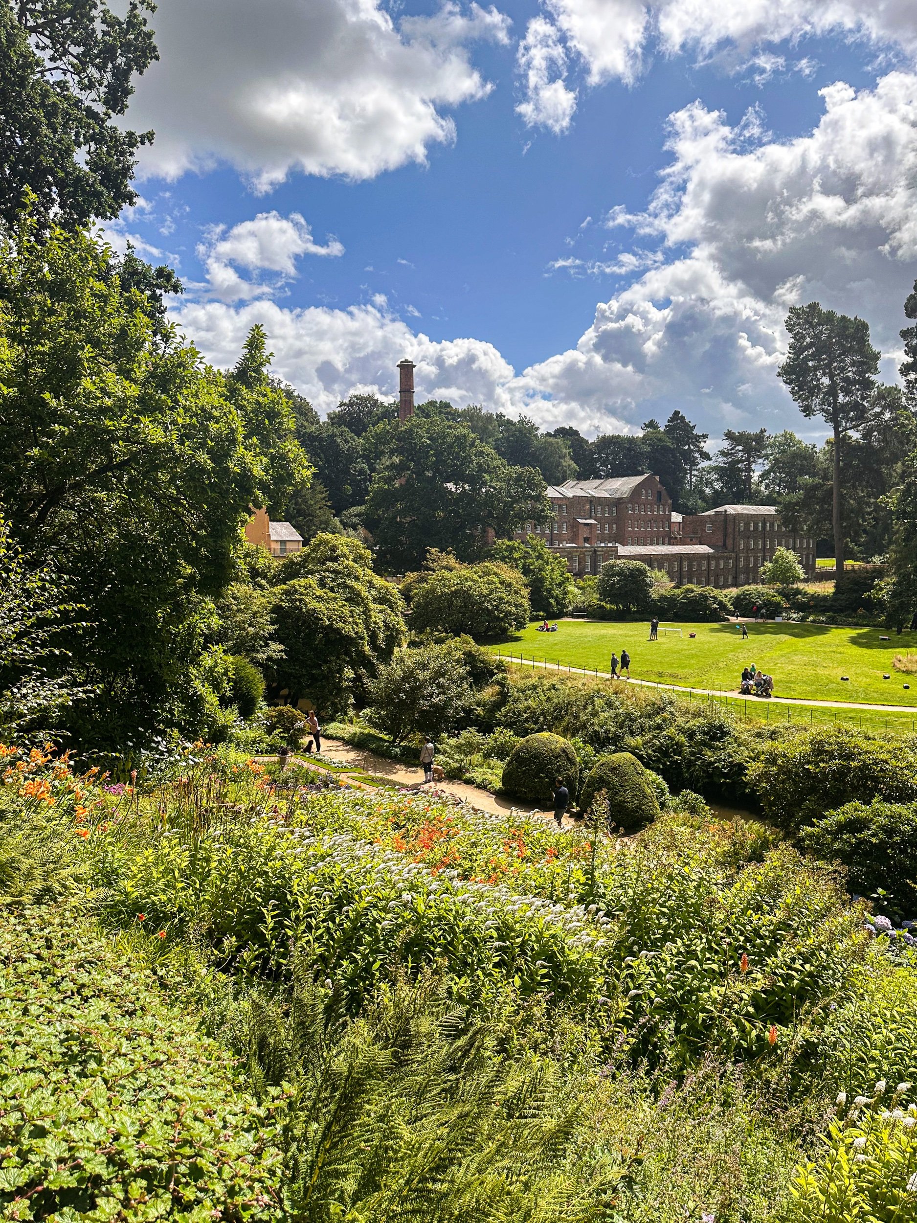
Or if you’re looking to extend your walk, why not take a stroll along the River Bollin towards Styal Village and Quarry Bank Mill? This National Trust gem is a firm favourite of ours, and you can follow our best routes around Styal here.
Fancy stopping off in Wilmslow next time you head for the Cheshire countryside? Find full navigation details here
BEST WALKS NEAR WIGAN: FAIRY GLEN LOOP
Looking to escape to an enchanting woodland over the weekend? This short Greater Manchester walk has your back
Start: Parbold Hill Viewpoint, Wigan, WN8 7TH
Distance: 4.24 miles
Elevation: 400 feet
Duration: 1-2 hours
Navigation: follow the route here
From pie trails to the infamous pier… there’s no doubt a day in Wigan is a day well spent. It’s said the Manchester town has become the centre of the pie-making and pie-eating world, and who are we to argue with that?
So if you’re after a day of fine pastry once you’ve headed off on your Sunday stroll, you’re in for a treat with this one.
Starting from Parbold Hill Viewpoint, this short loop is great for a Sunday stroll with four-legged pals in tow. Before long, you’ll start your descent towards the Liverpool-Leeds canal, before ascending back up to Appley Bridge, which is where the real gem of this walk lies: Fairy Glen.
Nestled on the side of Parbold Hill, Fairy Glen is a serene patch of forest with picturesque cascades, streams and waterfalls, with plenty of hiking trails perfect for extending your walk should you wish to venture further.
Fancy giving this woodland walk in Manchester a go? Follow the route here
GOYT DAM
Panoramic views, magical woodlands and peaceful picnic spots are just some of the reasons you’ll want to head to Goyt Valley
Start: Whaley Bridge, SK23 7LX
Distance: 7.71 miles
Elevation: 1,075 feet
Duration: 2-3 hours
Navigation: follow the route here
This relaxed Peak District walk is beautiful in any season, but the way the woods are painted with gorgeous auburn hues come late September should make this route appear high on your list of autumn woodland walks.
Lying just a few miles northwest of Buxton, The Goyt Valley is magical place — one that’s gained popularity from visitors since Victorian times.
Once a prosperous and industrious community, the signs of a time gone by are all but extinct, bar from the ruins of Errwood Hall. Back in 1937, the construction of Fernilee Reservoir completely changed this beauty spot’s landscape, but the area remains a wonderfully peaceful place to visit to this day.
Expect stunning views every way you turn, thanks to a unique landscape which was carved out by successive Ice Ages and the River Goyt. It’s the perfect location for a day of recharging your batteries, with the natural scenery and rolling hills surrounding making for a wonderfully soothing trip outdoors.
With free parking at many of the valley’s landmarks, enjoying a day’s stroll around Goyt Valley is easy — especially if you follow one of the waymarked routes starting from Errwood Car Park.
For us, though, the beauty of this trail starts not in the valley, but in nearby Whaley Bridge. Along the way, expect dense pinewoods and azalea bushes, ruins of worker cottages and even a shrine close to the ruins of an abandoned hall.
And if folklore is more your thing, local legend has it that a highwayman called Pym used to lay in wait to ambush those who used the old packhorse route, hence the name Pym Chair given to one of the peaks in this mesmerising landscape.
Fancy giving this one a go? Follow the route here
THORPE CLOUD
Gothic manors… idyllic tearooms… and a trig point to boot — this walk in Ashbourne has it all
Start: Blore Pastures Carpark, DE6 2BS
Distance: 5.49 miles
Duration: 2.5 hours
Elevation: 1,000 feet
Navigation: follow the route here
Whether you’re here for the stepping stones across the River Manifold, or fancy indulging in the history of this quaint town’s old manor house, a day trip to Ilam Park is always a good idea.
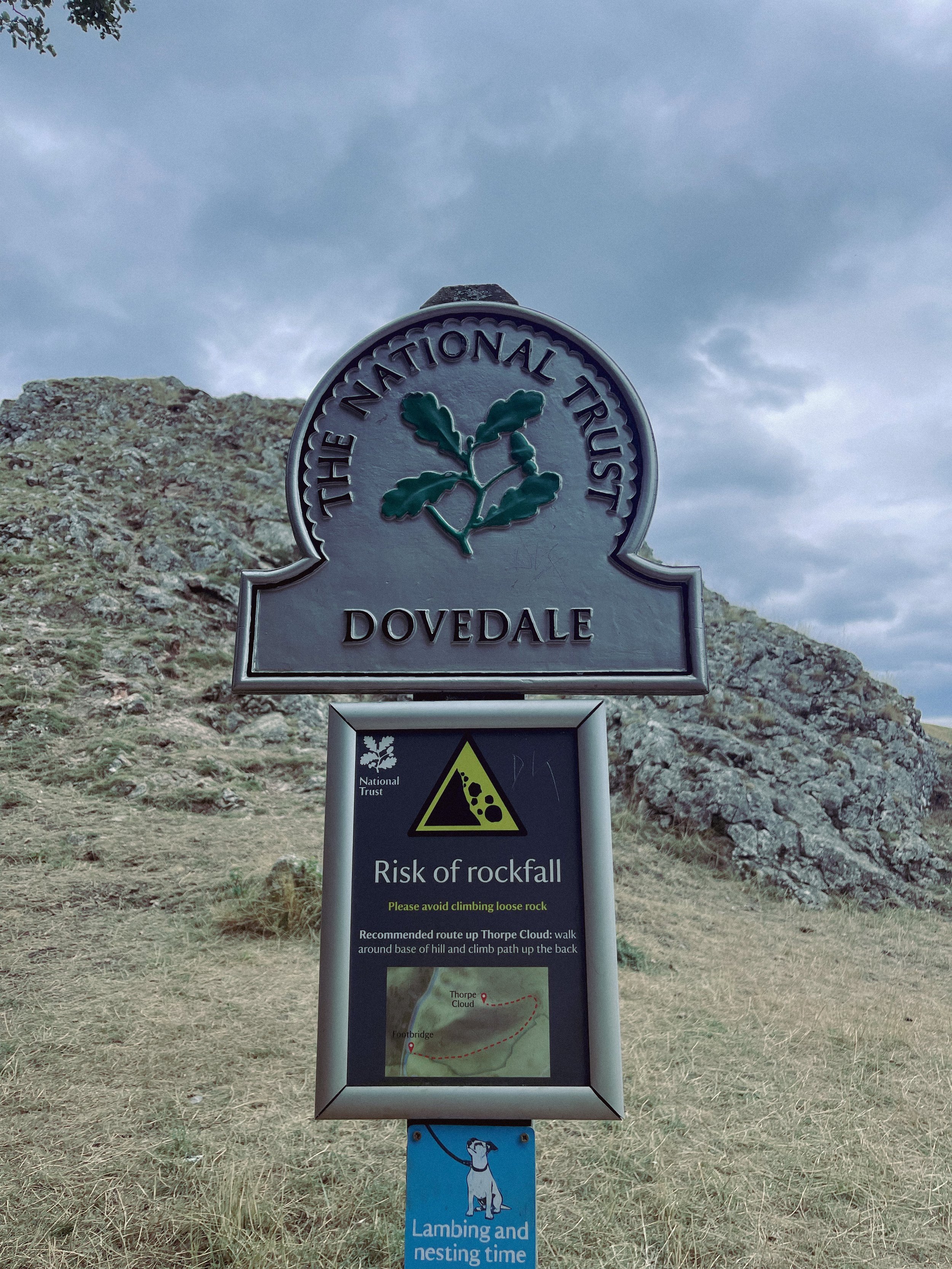
After a meander around Ilam Hall, our route takes you up Thorpe Cloud as you summit the hill for breathtaking views across the dale, and return home via the stepping stones across the River Dove.
Thorpe Cloud is found in the White Peaks on the southern end of Dovedale — a gorgeous limestone hill that attracts thousands of visitors each year thanks to its unique shape and close proximity to Dovedale Stepping Stones.
The route up to the summit is easy-to-follow, navigated by blue markers on signposts. With some steep parts that’re a good challenge for beginners, the walk is short and sweet with plenty of options to extend if you’re feeling particularly energetic.
The Stepping Stones are a very popular Peak District attraction, so if you’re wanting to explore free from pedestrian traffic, we’d definitely recommend visiting off-peak if that’s an option for you.
That said, they’re a must-do Peak activity… and well worth the visit!
Grab yer hiking boots and follow one of our favourite Peak District walks here
LANTERN PIKE
A stunning stroll around Hayfield’s lesser populated countryside
Start: Sett Valley Trail Car Park, SK22 2JG
Distance: 7.63 miles
Elevation: 1,150 feet
Duration: 3.5 hours
Navigation: follow the route here
If you’re an avid hiker, we’re sure you’re no stranger to the Peak District ‘big one’, Kinder Scout. But have you ever traversed this village’s lesser known trails?
Starting on the Sett Valley Trail. this walk leads you up to the fallen trig point at Lantern Pike, finishing off at one of our favourite country pubs this side of the Pennines, The Little Mill.
As far as trig point routes go, this is a scenic one for sure. The start of the walk takes you along Birch Vale Reservoir along a tree-lined path that’s a haven for wildlife.
From here, you journey onwards to a short climb up towards the Pennine Bridleway where the lane narrows into a stony path just before the base of Lantern Pike. Once you’ve reached this point, it’s smooth sailing up to the rig point atop the summit.
And as for the views when you’ve reached the trig? You’ll instantly forget about the slog up to the summit — rewarded with insane, far-reaching views as far as the eye can see. Expect a patchwork of fields, heather moorland and the magnificence of towering neighbour, Kinder Scout.
Don’t fancy giving the trig challenge? Fear not, The Sett Valley Trail itself makes for an incredible Sunday Stroll with 2.5 miles of traffic-free scenery perfect for walkers and cyclists alike.
The trail follows a former railway line through the beauty of Derbyshire’s countryside, taking you along the Pennine Bridleway between Hayfield and Birch Vale.
And if you’re after ticking off a few trigs in one day, why not extend the walk to include nearby Harry Hut and Burnt Hill?
Or if you fancy following our shorter route, give it a go here!
KERRIDGE HILL LOOP
Discover the beauty of Cheshire from up above with one of the best walks near Greater Manchester
Start: Pool Bank Car Park (Free Parking), SK10 5PS
Distance: 6.88 miles
Duration: 2-3 hours
Elevation: 1,000 feet
Navigation: follow the route here
Looking for a bit of history on your next trip outdoors? Look no further than this uphill hike around the Cheshire countryside. Not only does this walk provide excellent views that sweep right across the surrounding area, but you’ll also pass White Nancy fairly early on — a memorial site atop Kerridge Hill, built to commemorate the victory of coalition forces at the Battle of Waterloo.
With its comically shaped physique, White Nancy isn’t your typical historical landmark. Thanks to its lofty position, the site White Nancy sits on had been used as a warning beacon of invasion for centuries, featuring other small structures before Nancy took up residence.
In 1817, the Gaskell family of Ingersley Hall built the structure you see today, in belated commemoration of the victory at Waterloo, 1815. Originally, White Nancy had a door and was used as a summerhouse, but was soon sealed off due to vandalism over the early 20th century.
Whether you’re here for the views or the stories of yesteryear, you’re sure to be taken aback by the undisturbed peacefulness of this route. On a clear day, you can see as far as Snowdonia, Liverpool’s coastal line and the windmills off the Wirral peninsula.
After admiring the views surrounding White Nancy, walking across Kerridge Hill is a must. The route’s quite steep in parts — but the views? So worth it.
So if you’re after a walk that offers incredible views every way you turn, make sure you stop by and see our Nancy soon. With multiple footpaths, woods and fields to explore nearby, you can easily extend this route into a full date out.
Fancy stopping by to see Nancy soon? Follow the route here
PLAGUE VILLAGE LOOP
Eyam — the quaint Peak District village known to visitors and residents alike as the ‘Plague Village’… take a trip though its fascinating and inspiring history
Start: Eyam Hall, Hope Valley, S32 5QW
Distance: 5.35 miles
Duration: 2.5 hours
Elevation: 725 feet
Navigation: follow the route via GPS here
Most hikers are drawn to Eyam for its famous landmarks nearby, from Padley Gorge and Curbar Edge, to Sir William Hill and Eyam Moor.
But for us? To miss the atmospheric beauty of this village and its fascinating history would be a tale as sorry as Eyam’s past. Because a trip round this setting is to take a step back in time — where you can immerse yourself in the incredible story of Eyam’s unselfish villagers who sealed themselves off from the outside world to prevent the deadly disease from spreading.
Today, in a post-pandemic world, it’s even more poignant than it once was — a story we can all relate to, albeit under slightly less extreme and tragic circumstances.
First concentrated in London, the plague began to spread in 1665, with the authorities doing little to stop the spread. As the rich, including King Charles II, fled the capital to their country estates, the poor were left to face a merciless fate. Instead of providing relief measures and aid, the House of Lords decided that the policy of ‘shutting up’ infected individuals within their household would apply to all, except persons of note. Sound familiar?
The Plague was brought to this Peak District village via package in 1665, a package containing infected cloth from London. As you walk around the village, you can trace the package’s initial movements, from the Church of St Lawrence, to the Plague Cottages, the Riley Graves, and beyond.
Due to the unique actions taken by its villagers, Eyam’s people became known heroically, thanks to their actions taken to stop the spread of disease. As Eyam wasn’t able to support itself while in quarantine, you can see remains of their survival to this day.
Mompesson’s well, found today on the village boundary, was used to exchange money for food and medicine. To pay for these supplies, villagers left money in water troughs that were filled with vinegar — a substance thought back then to ward off and kill disease.
While these measures undoubtedly saved the lives of thousands in the surrounding area, Eyam became so known during the plague due to the high price they had to pay. Percentage wise, the village suffered a death toll greater than that of London.
Our route takes you past the church of St Lawrence, which dates back to Saxon times and still has its original font and Normal pillars. In the churchyard you’ll find an eighth-century Celtic Cross, decorated with a mixture of Christian and pagan symbols signifying life from a time gone-by.
Expect wells, water, plague and pilgrimage aplenty as you follow our gentle hike through Eyam and onto Stoney Middleton, wandering along old paths and tracks between two picturesque Peak District villages.
History lovers: this is one of the best hikes the Peak District has to offer. Fancy giving it a go? Follow the route here
ANDERTON BOAT LIFT WALK
Fancy a wander round Cheshire’s historic boat lift? With the Mersey Canal and the River Weaver as your backdrop, this is one of Cheshire’s best walks for scenic trails and uninterrupted re-charging
Start: Barnton, CW8 4EL
Distance: 3.45 miles
Duration: allow approx. an hour
Elevation: 100 feet
Navigation: follow the route here
Searching for a day out that’s perfect for the whole fam? A trip to Anderton Boat Lift is a must. This mighty lift is dubbed one of the Seven Wonders of the Waterways — but for us, it’s the nearby woodlands and nature trails that make this place truly special.
Starting in Northwich, you’re never far away from the area’s many impressive waterways; taking you through some quintessential Cheshire countryside.
Plus, with its close proximity to nearby Cheshire walking gems like Marbury Country Park, Pickmere and Great Budworth, you can easily extend this walk into a full day’s adventure.
On arrival to the boat lift, you’ll soon learn this monument dates back to 1875, designed by Edwin Clark to transfer narrow boats from the River Weaver, or what’s now known as the Weaver Navigation.
It’s a steel superstructure capable of taking two narrow boats side by side… and seeing it in operation is something else, if not a little nerve-wracking!
Should you prefer to start at the Boat Lift, there’s ample parking to begin your adventure there. As for its surrounds, we were surprised at just how many trails you can take your pick from. On one side you have the Mersey Forest, the next a country park, a good pub, a pretty village and lots of waterways to reflect.
After wanting to head down to the Boat Lift for a while, we were taken aback by the unexpected scenery every way you turn — a must-visit if you ever find yourself in the area.
Sound like your ideal day out? Follow the walk here
FLETCHER MOSS
This tranquil stretch of Didsbury is perfect for recharging after a busy week in the office.
Start: Chorlton
Distance: 6.13 miles
Elevation: 75 feet
Duration: allow approx. 2 hours
Navigation: follow the trail here
Tucked away between numerous Mancunian green spaces, you’ll find Fletcher Moss Botanical Gardens in all of its unsuspecting glory. It’s an oasis, that’s for sure, and given its location just a stone’s throw away from lively South Manchester, an unexpecting one at that.
Better yet, entry into this incredible garden and surrounding woodland is completely free.
There are several different sections and terrains to cover, from the nature reserve itself, to the Parsonage gardens, river Mersey, a trail through the woods… and most people’s favourite: the rockery.
The rockery is well-maintained and a real gem to escape the hustle and bustle of city life for an hour or so. The Old Parsonage is the second oldest building in Didsbury and has only ever been lived in by two of the church ministers.
Back in 1915, Fletcher Moss gifted the house and gardens to the City of Manchester and much of the present layout was designed by Moss himself and his mother.
Today, you’ll find a large number of ornamental trees, a striking neo-Norman stone arched gate and numerous species of wildlife.
Thanks to the park’s clever layout, the stunning rock gardens are protected from the elements — home to a south-facing slope for shelter, perfect for sitting in the garden on a Mancunian summer’s day.
Aside from its perfectly groomed gardens, Fletcher Moss is home to an array of wildlife, and even a Bug Hotel.
And in true Manchester style, you’ll even find a little slice of hipster heaven in the form of The Alpine Tearoom, selling up a gorgeous selection of alcoholic spirtzers, NQ-approved hot drinks and tasty food.
Our route starts in Chorlton-cum-Hardy, meaning you can take in numerous hidden South Mancunian scenic delights in one stretch. With a short stroll along the River Mersey en-route, it’s a calming walk with plenty to see along the way, making it one of our best walks to set off on in Manchester.
Like what you see? Follow the route step-by-step here
UPHILL CHALLENGES:
WALKS WITH WATERFALLS:


