ALL TRAILS
KERRIDGE HILL LOOP
Discover the beauty of Cheshire from up above with one of the best walks near Greater Manchester
Start: Pool Bank Car Park (Free Parking), SK10 5PS
Distance: 6.88 miles
Duration: 2-3 hours
Elevation: 1,000 feet
Navigation: follow the route here
Looking for a bit of history on your next trip outdoors? Look no further than this uphill hike around the Cheshire countryside. Not only does this walk provide excellent views that sweep right across the surrounding area, but you’ll also pass White Nancy fairly early on — a memorial site atop Kerridge Hill, built to commemorate the victory of coalition forces at the Battle of Waterloo.
With its comically shaped physique, White Nancy isn’t your typical historical landmark. Thanks to its lofty position, the site White Nancy sits on had been used as a warning beacon of invasion for centuries, featuring other small structures before Nancy took up residence.
In 1817, the Gaskell family of Ingersley Hall built the structure you see today, in belated commemoration of the victory at Waterloo, 1815. Originally, White Nancy had a door and was used as a summerhouse, but was soon sealed off due to vandalism over the early 20th century.
Whether you’re here for the views or the stories of yesteryear, you’re sure to be taken aback by the undisturbed peacefulness of this route. On a clear day, you can see as far as Snowdonia, Liverpool’s coastal line and the windmills off the Wirral peninsula.
After admiring the views surrounding White Nancy, walking across Kerridge Hill is a must. The route’s quite steep in parts — but the views? So worth it.
So if you’re after a walk that offers incredible views every way you turn, make sure you stop by and see our Nancy soon. With multiple footpaths, woods and fields to explore nearby, you can easily extend this route into a full date out.
Fancy stopping by to see Nancy soon? Follow the route here
FLETCHER MOSS
This tranquil stretch of Didsbury is perfect for recharging after a busy week in the office.
Start: Chorlton
Distance: 6.13 miles
Elevation: 75 feet
Duration: allow approx. 2 hours
Navigation: follow the trail here
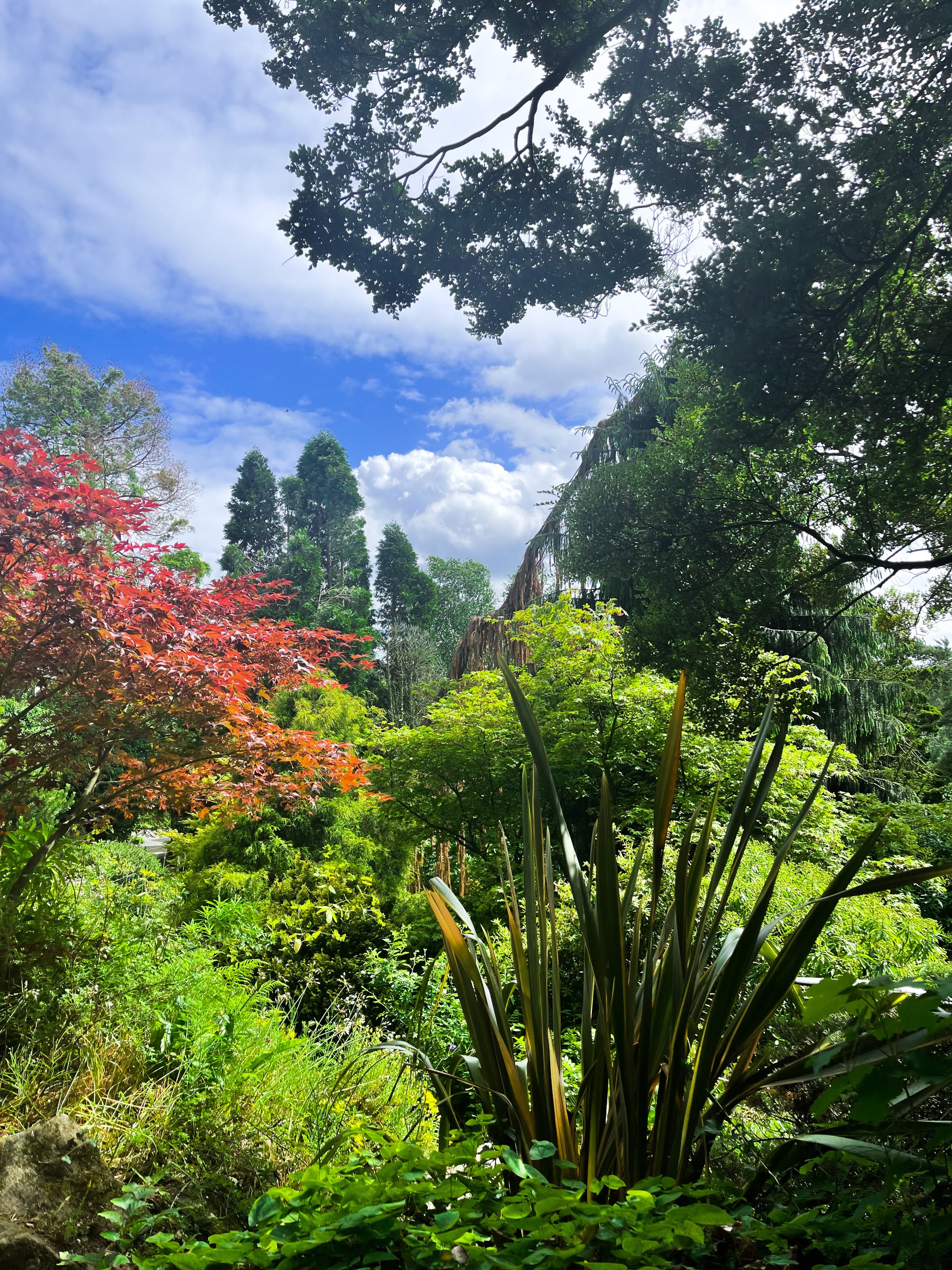
Tucked away between numerous Mancunian green spaces, you’ll find Fletcher Moss Botanical Gardens in all of its unsuspecting glory. It’s an oasis, that’s for sure, and given its location just a stone’s throw away from lively South Manchester, an unexpecting one at that.
Better yet, entry into this incredible garden and surrounding woodland is completely free.
There are several different sections and terrains to cover, from the nature reserve itself, to the Parsonage gardens, river Mersey, a trail through the woods… and most people’s favourite: the rockery.
The rockery is well-maintained and a real gem to escape the hustle and bustle of city life for an hour or so. The Old Parsonage is the second oldest building in Didsbury and has only ever been lived in by two of the church ministers.
Back in 1915, Fletcher Moss gifted the house and gardens to the City of Manchester and much of the present layout was designed by Moss himself and his mother.
Today, you’ll find a large number of ornamental trees, a striking neo-Norman stone arched gate and numerous species of wildlife.
Thanks to the park’s clever layout, the stunning rock gardens are protected from the elements — home to a south-facing slope for shelter, perfect for sitting in the garden on a Mancunian summer’s day.
Aside from its perfectly groomed gardens, Fletcher Moss is home to an array of wildlife, and even a Bug Hotel.
And in true Manchester style, you’ll even find a little slice of hipster heaven in the form of The Alpine Tearoom, selling up a gorgeous selection of alcoholic spirtzers, NQ-approved hot drinks and tasty food.
Our route starts in Chorlton-cum-Hardy, meaning you can take in numerous hidden South Mancunian scenic delights in one stretch. With a short stroll along the River Mersey en-route, it’s a calming walk with plenty to see along the way, making it one of our best walks to set off on in Manchester.
Like what you see? Follow the route step-by-step here
ALAN NEWTON WAY
A trail so idyllic it’s hard to believe you’re a literal stone’s throw away from the M60…
Start: Pear Mill, SK6 2BP
Distance: 5.18 miles
Duration: 2 hours
Elevation: 200 feet
Navigation: follow the route here
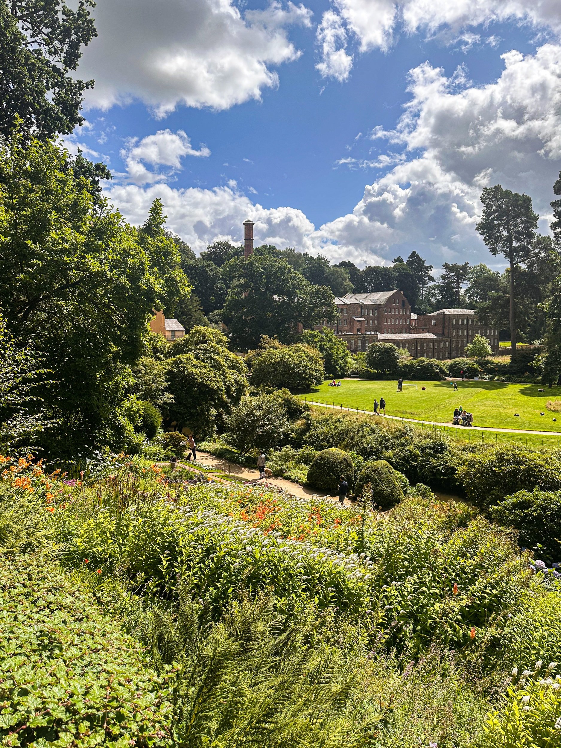
Having lived in Greater Manchester most of our lives, it always amazes us when we stumble across new-found territory just a stone’s throw away from our old stomping grounds. The Alan Newton Way is one of them!
Named after Stockport’s Olympic medal-winning cyclist, The Way provides a safe off-road route from Marple to Stockport via the Goyt Valley and towards the town centre.
Expect quiet, old farm lanes, a forgotten hall and a wonderful little detour back through the Woodbank’s woodland. We stopped off at Chadkirk for a quick refuel and a wander around Marple Garden Centre.
Starting the route from this end means you’ll be able to have a pitstop at Pear Mill’s Vintage Emporium - a must-visit for anyone yet to have a nosey.
To extend the route, you can follow the Way to Etherow Country Park, or join up with the Middlewood Way at Chadkirk.
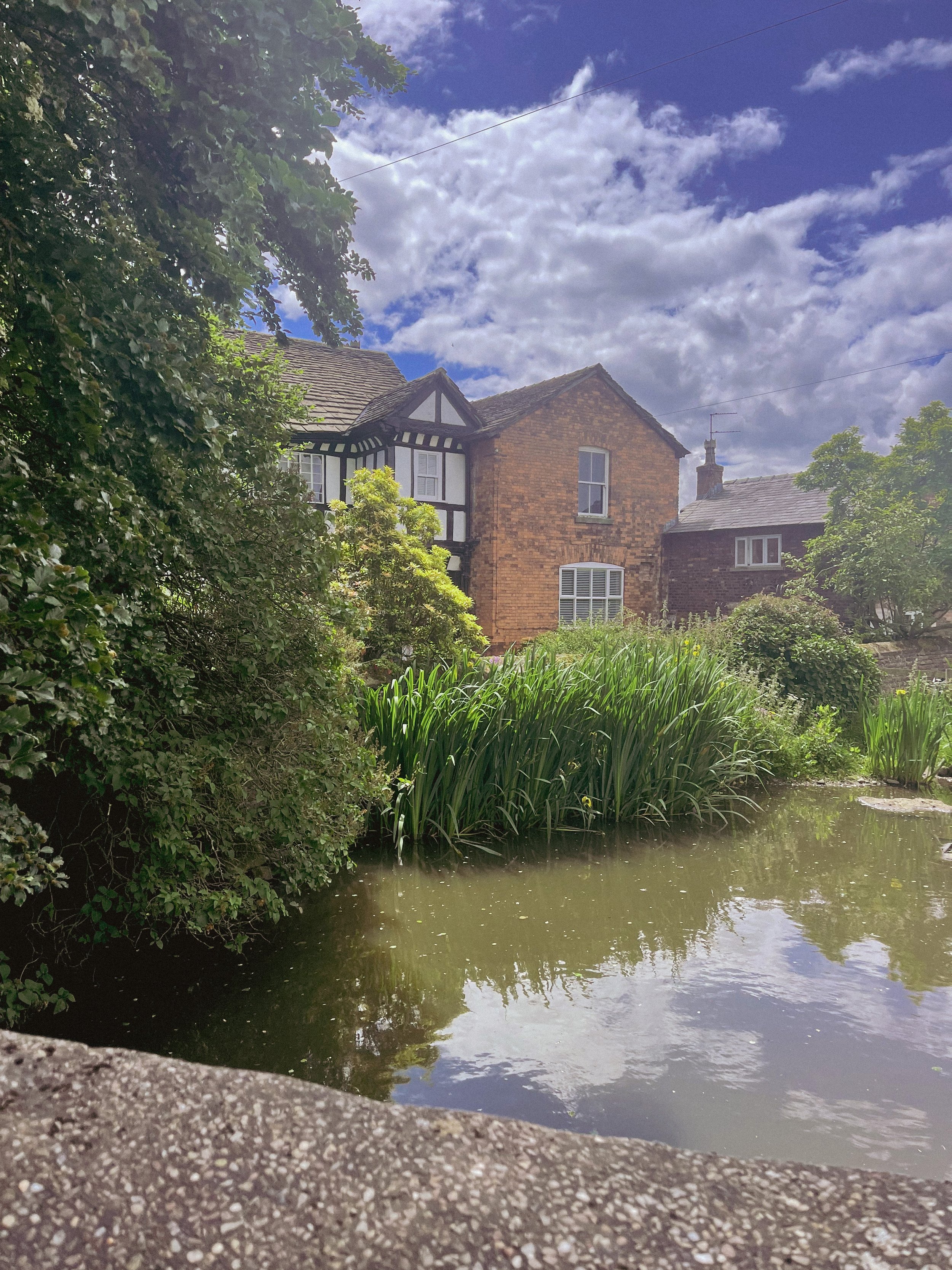
For us, the highlight came in discovering Goyt Hall Farm, one of Stockport’s many small halls… but due to its remote location, one of the prettiest. This Grade II listed half timbered mansion-house was built around the same time as the popular Bramall Hall. Today, it’s a working farm and stables surrounded by gorgeous bluebell-dotted woods and fields.
Fancy giving this trail a go? You can follow our route step-by-step here
MIDDLE BLACK CLOUGH
Fancy a trip to one of Derbyshire’s best waterfalls? Then this walk is a must
Start: Woodhead Tunnel Car Park, SK13 1JF
Distance: 7.66 miles
Elevation: 1,175 feet
Duration: allow approx. 3 hours
Navigation: follow our route here
Due to its hard-to-find location, once you reach Middle Black Clough you’re likely to have the waterfall and its surrounds entirely to yourself! A perfect spot for scramblers and wild swimmers alike, this hidden gem is a must-visit when passing Woodhead.
Starting on the Longdendale Trail, our route takes you through Woodhead Tunnels and over the moorland surrounding. Following our trail, the waterfall is right at the end of the walk—and you’ll want your waterproof boots for this one when you arrive as there’s a short water crossing.
Not surprisingly, this secret waterfall is a little tricky to find (even with our komoot trail) so be prepared to persevere in following the clough as far as you can until your reach a ford. Once here, follow Middle Black Clough up to the waterfall, and enjoy the surrounds!
Ready to go for a dip? Follow our route here
KINDER TRESPASS: HAYFIELD TO KINDER SCOUT
The Peak District ‘big one’… follow our route up to the highest point in the Peaks
Distance: 8.15 miles
Duration: allow approx. 3-4 hours
Elevation: 1,500 feet
Start: Bowden Bridge Car Park, SK22 2LH
Navigation: follow our route here
Starting at Bowden Bridge, this trail takes you up to one of the Peak Districts most famous—and arguably, best— natural landmarks: Kinder Scout.
Along the way, you’ll follow in the footsteps of 500 walkers who, back in 1932, trespassed en masse from Hayfield to Kinder Scout to secure access right to open country for all to enjoy.
Bowden Bridge Quarry is where protester Benny Rothman addressed the crowd of ramblers before they set off to Kinder Reservoir. In Hayfield, you’ll find a large information board which explains the pivotal role the Trespass had in opening up routes for all to enjoy.
At the carpark, you’ll find public toilets and a pop-up coffee shop to fuel up for your climb. On a clear day, you can see right across Manchester and as far as Snowdonia, making this trail one of the best views in the Peak District. It’s an iconic hike, taking in the expansive moorland plateau of Kinder Scout as you ascend towards the highest point in the Peaks.
There are two routes up to the plateau, starting from Edale or Hayfield. Both make for a great day out, but the Hayfield walk takes in the most spectacular scenery along the way.
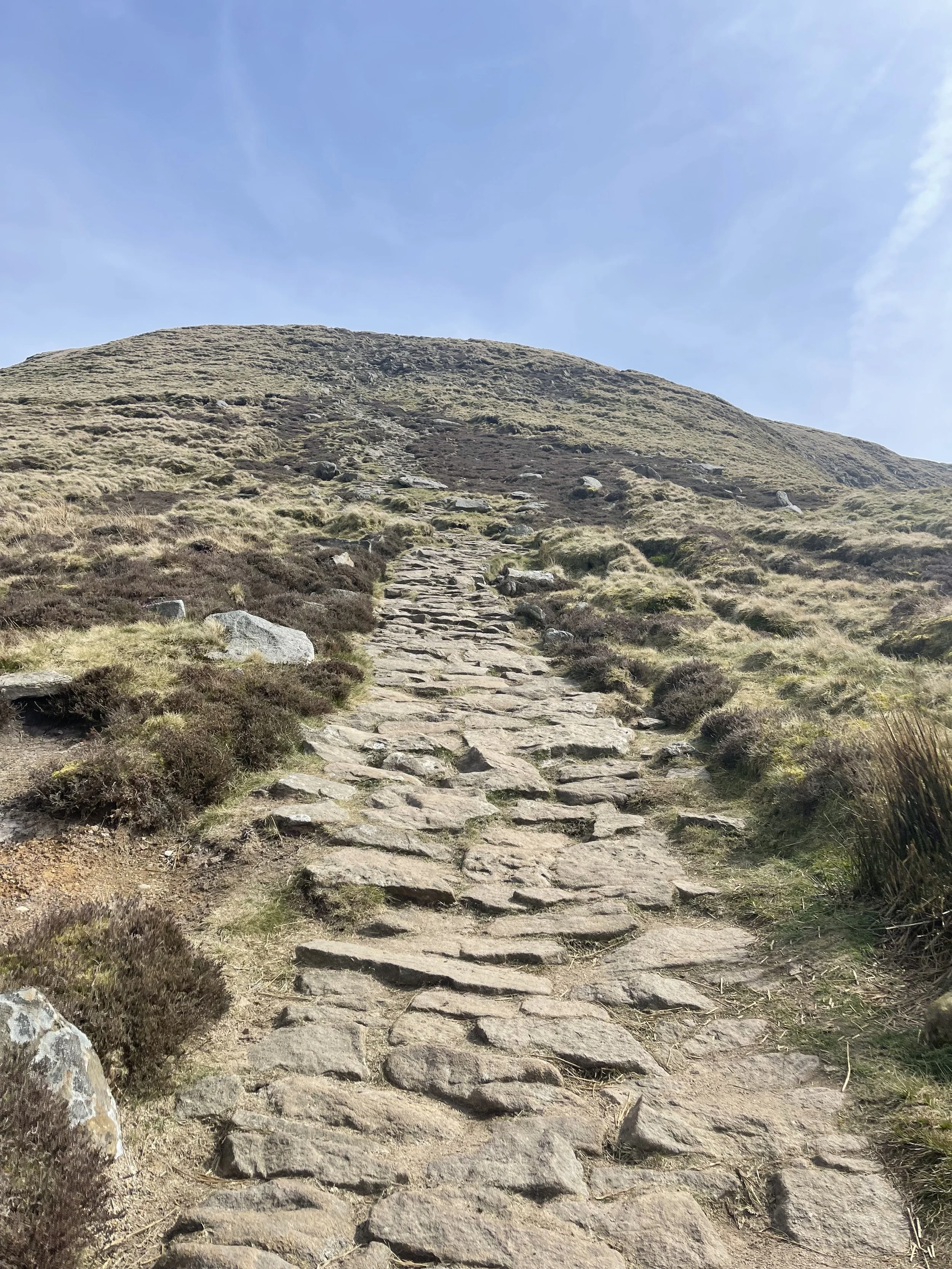
During the ascent, you’ll pass Kinder Downfall—the highest waterfall in the Peaks. Be prepared for uneven terrain and steep uphill climbs, so walking boots and proper preparation are needed for this one.
Up top, you’ll come across the Kinder Low trig pillar, marking the unofficial high point of Kinder Scout that makes for a great photo stop.
The descent takes you along steep grassy terrain and farmland, with some (easy) scrambling required on one rocky section, so take care during these parts. As you return towards Bowden Bridge, you’ll pass The Sportsman Inn, a great place to reward your efforts with a well-earned post-walk pint.
Ready to give this one a go? Follow our route step-by-step here
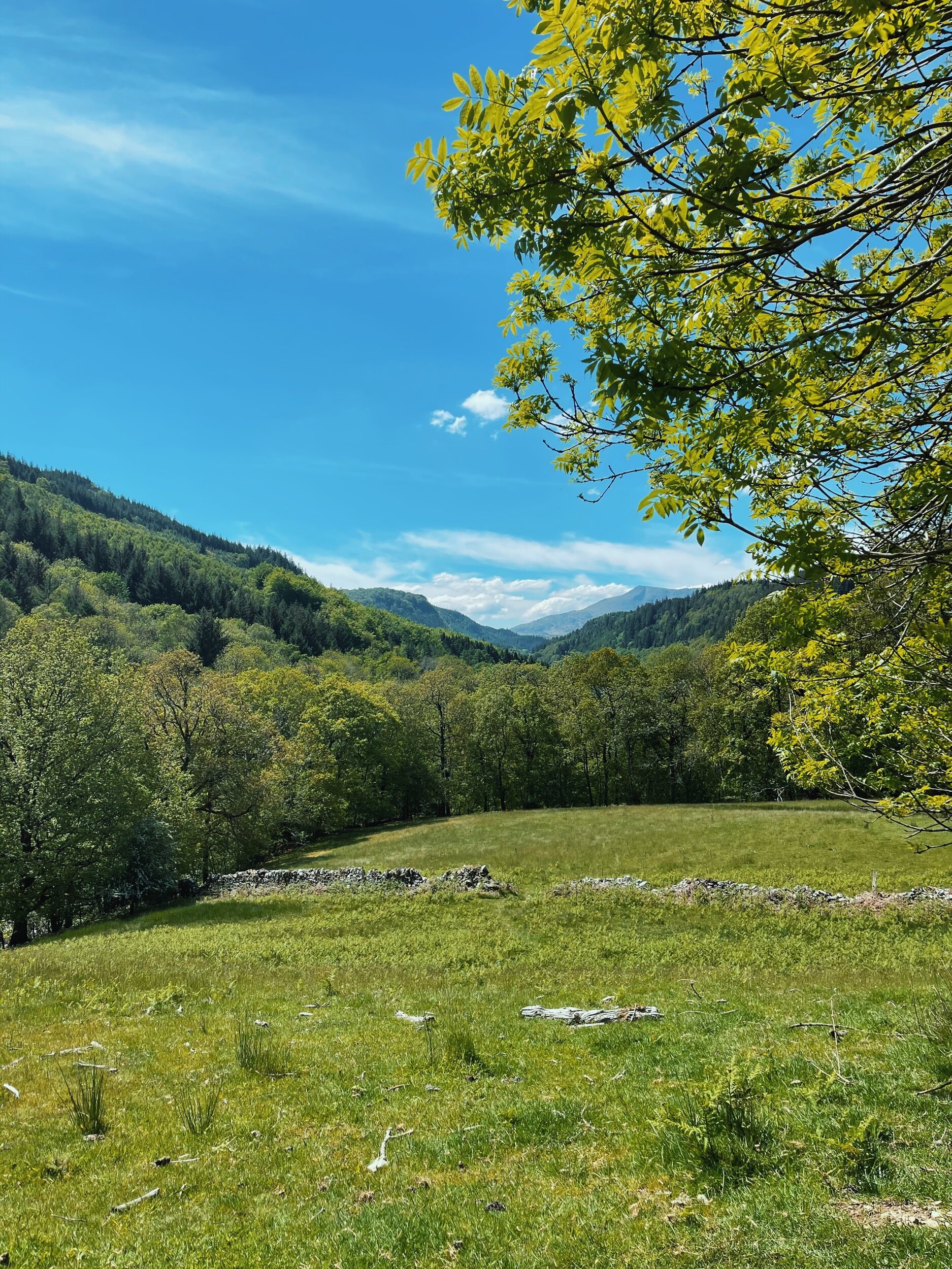
FAIRY GLEN GORGE
Move over Snowdonia — could this be one of North Wales’ best circular walks?
Start: Betws Y Coed, LL24 0BW
Distance: 4.78 miles
Duration: allow approx. 2 hours
Elevation: 900 feet
Navigation: follow our route here
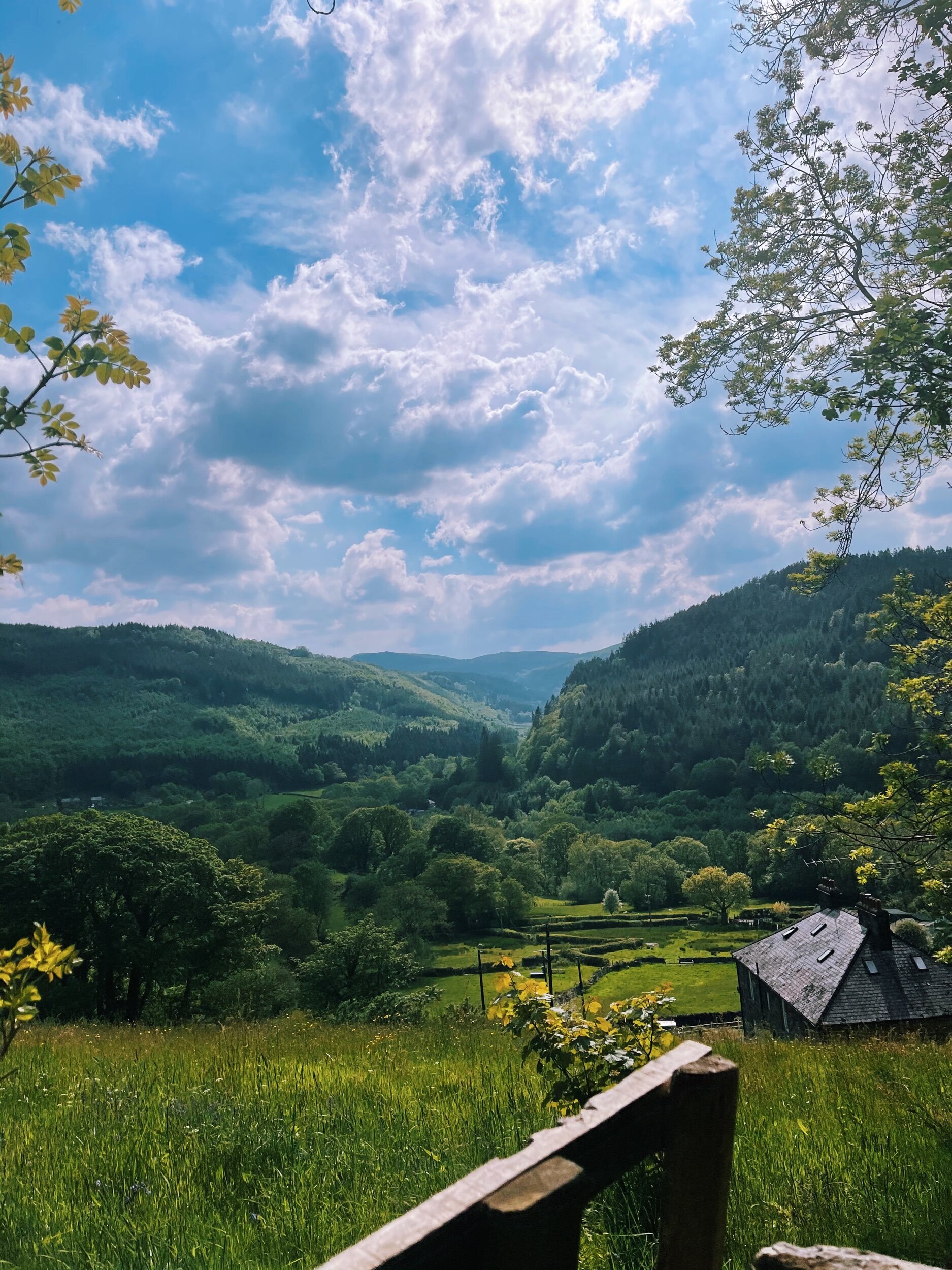
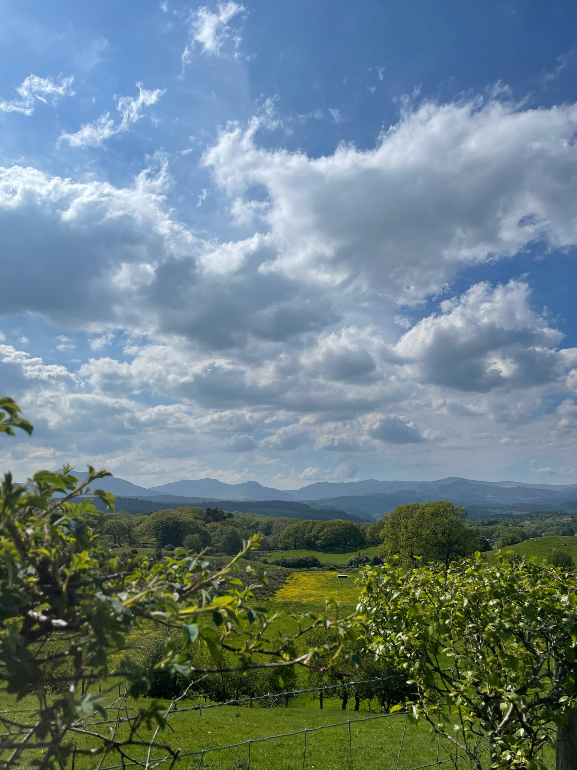
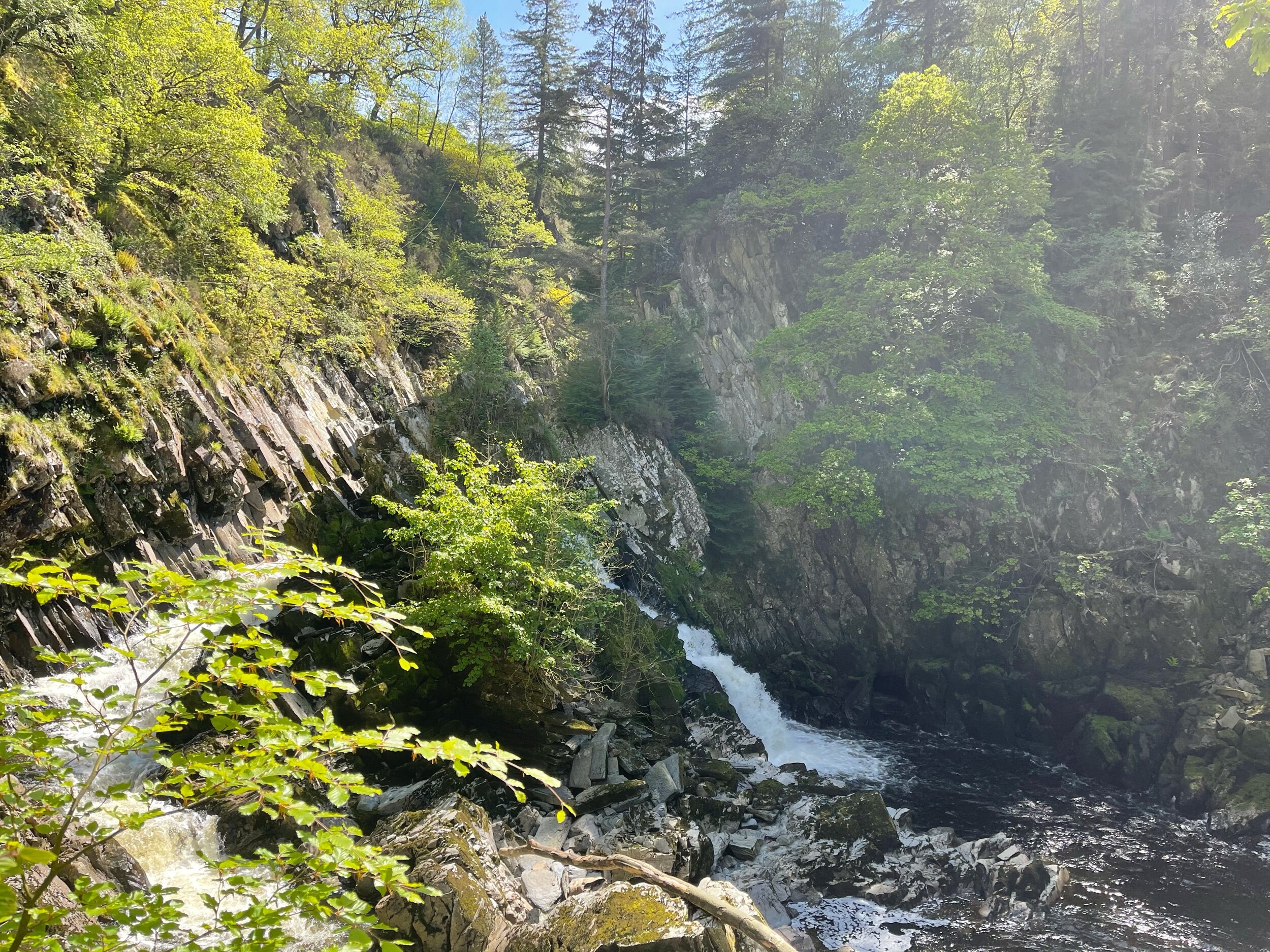
Nestled in the heart of the Snowdonian countryside lies a magical circular walk in Betws y Coed. This place is rich in folklore and oozes magic from the moment you step onto the grounds. This secluded beauty spot is tucked away just off the Conwy River, and it’s not just it’s mystical vibe that attracts tourists from all corners of the country here.
With stunning views of the Snowdonian landscape every way you turn, it’s no wonder this one was on our wish-list for a fair while—and it’s safe to say it didn’t disappoint.
Please note, to walk down to Fairy Glen Gorge incurs a fee of £1 per adult and 50p per child. This contribution goes towards the upkeep of the facilities while helping keep a small business up-and-running.
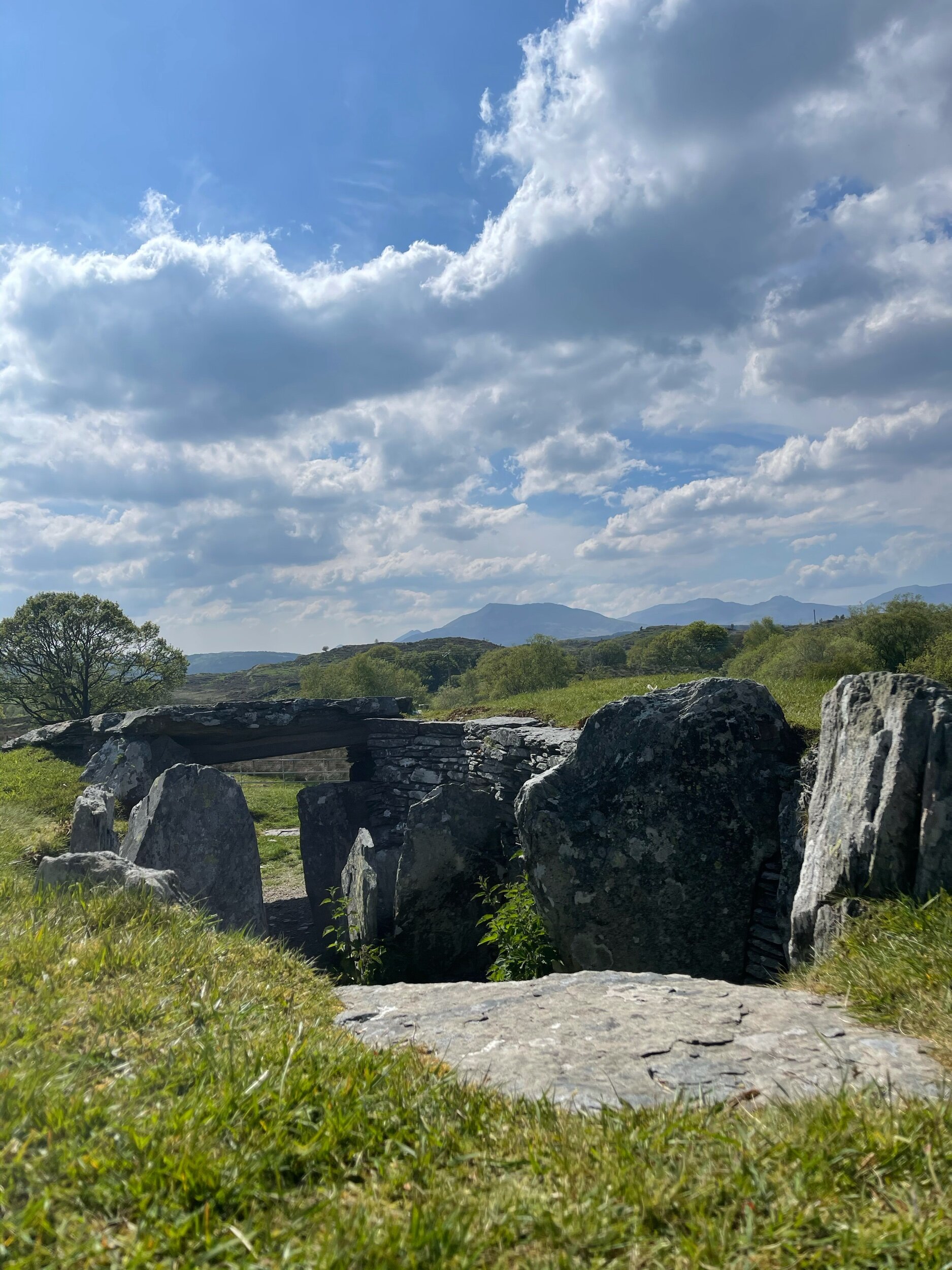
Heading away from the gorge, you travel up towards Carpel Garmon Burial Chamber—a neolithic tomb steeped in mystery. Due to its unexplained location, the New Stone Age burial ground is something of a conundrum for historians. Burial chambers of this type are archeologically grouped to an area of the Cotswolds, so Capel Garmon’s location so far up north remains an oddity.
On the home leg, you’ll pass Dinas Mawr— a small but charming peak that offers views across the area and beyond. You’ll also pass Conwy Falls Cafe where you can stop to refuel and enjoy the view.
Just a two-hour drive from Manchester, this route makes for an ideal day trip that combines the best of both — a short walk in nature, and incredibly rewarding views.
Why not give it a go yourself? Navigation details can be found here
Happy exploring!
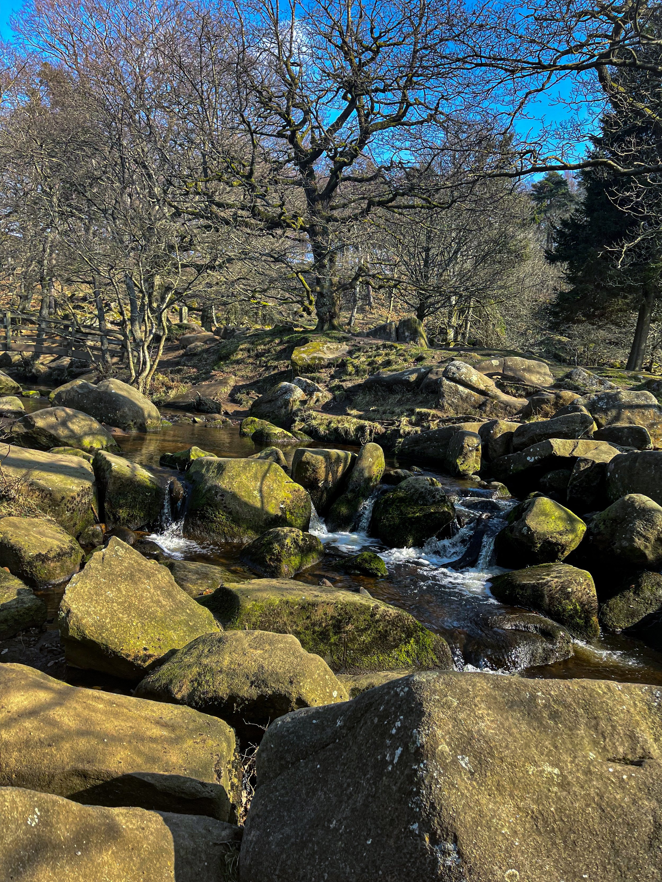
PADLEY GORGE
Gently flowing waterfalls… easy-going ascents… impeccable views and a pub pit-stop, Padley Gorge loop is one of the Peak District’s best circular walks
Start: Upper Burbage Bridge Car Park, Hope Valley, S32 1BR
Distance: 5.3 miles
Elevation: 650 feet
Duration: allow approx. 2 hours
Navigation: follow step-by-step
Route Overview:
This circular walk takes in less-populated trails from the busy Stanage Edge routes around Hathersage, with equally impressive views. Starting at Upper Burbage Bridge Car Park just outside of the town centre, this trail takes you to the magical Padley Gorge, before meandering back for a short scramble up Carl Wark — an awe-inspiring rocky tor.
Higger Tor, Hathersage Moor, Carl Wark and Burbage Edge are all included in this loop. Starting at the free car park at Burbage Bridge, you’ll be hard-pressed to see another soul for the first half of the walk, as you walk along side a stream and through the forest away from the more popular trails.
Be prepared for a slight scramble as you reach the tops of Higger Tor and Carl Wark. The approach from Burbage Bridge can also get a little boggy, so make sure to grab your waterproof boots before attempting this one.
Why not extend your walk with a visit to Little John’s grave? As you head towards Hathersage, you can expect magical panoramic views of faraway landmarks, moors and meadows.
Follow our route step-by-step here - happy exploring!
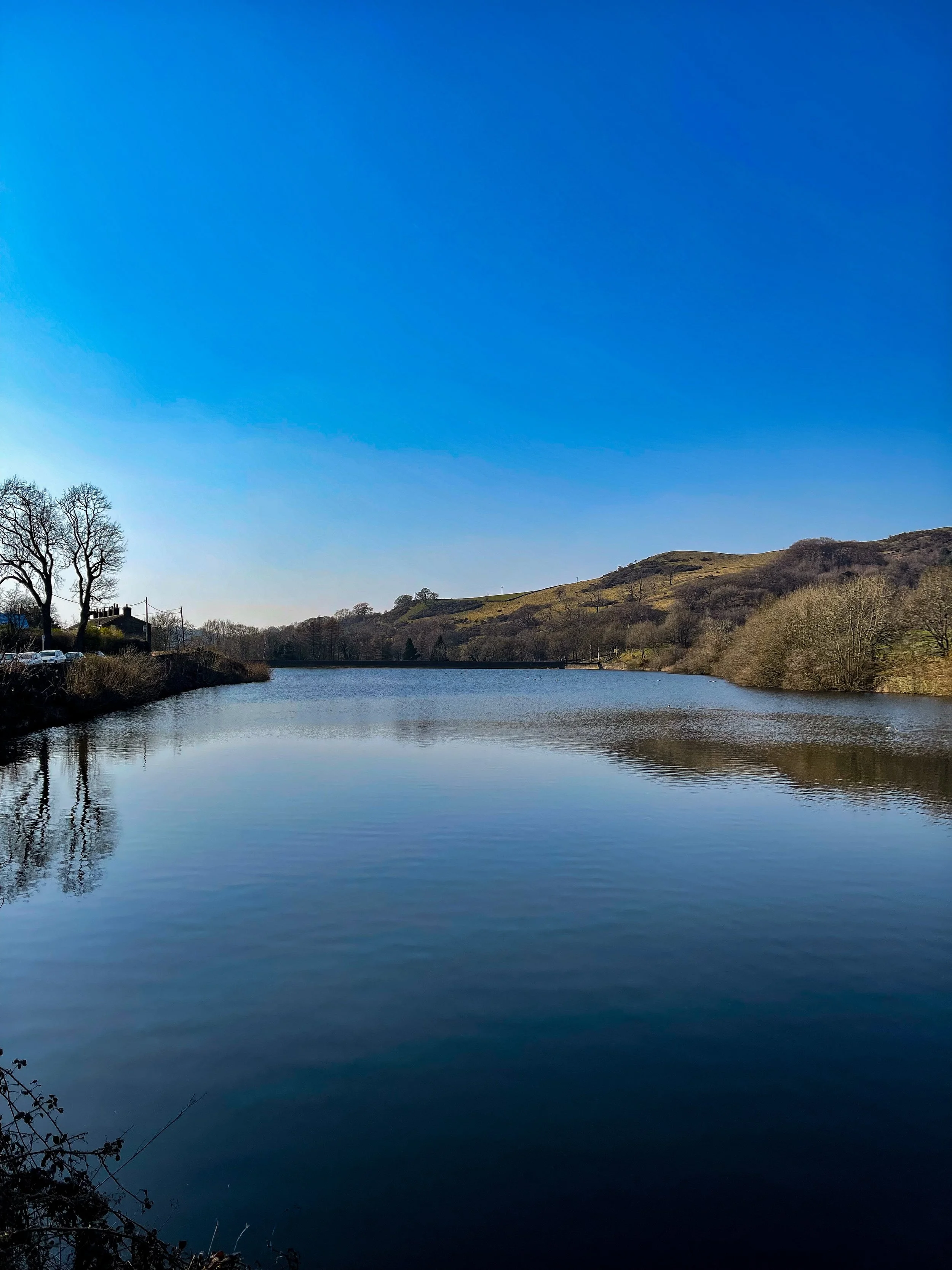
TEGG’S NOSE QUARRY
On the western border of the Peak District National Park lies a patchwork of wild woods, blossom-blanketed meadows, awe-inspiring reservoirs and high crags, making for one of the best circular walks in the Greater Manchester area
Start: Tegg’s Nose Country Park, SK11 0AP
Distance: 4.10 miles
Elevation: 525 feet
Duration: allow approx. 1.5 hours
Navigation: follow our route here
Just outside of Manchester, Tegg’s Nose Country Park represents a spectacular alternative to the Cheshire plain, with wild landscapes comprised of craggy hills, open moorland and dense forest.
Tap into your creative side and let your imagination run free as you meander along woodland paths. Mythological stories link the name Tegg’s Nose back to early Norse settlers — perfect for those wanting to feel like they’re half the world away… while being just down the road.
From the visitor centre, stone walls and sturdy barns add to the dramatic character of the steeply sided valleys as you set off on the trail towards the abandoned quarry. The car park provides an excellent base for numerous walks and throughout the year there are many events taking place at the visitor centre, check them out here.
The best part of this loop is the low-effort high-reward views you’ll be greeted with along the way. Despite the distance clocking up only 4 miles, you don’t have venture far to enjoy exhilarating views over the spectacular Cheshire Plain. On a clear day you may even see Liverpool’s cathedrals and Welsh hills beyond.
Situated on a number of old stone quarries, rock dominates the landscape here — with the industrial heritage of the site firmly on view as you trek across the many paths available.
While it may only be a short route, this trail offers incredible views over the beautiful Cheshire landscape that you just won’t find anywhere else. The route descends from Tegg’s Nose Country Park and skirts along the edge of Macclesfield Forest, offering you the best of both worlds.
For easy-to-follow navigation, head to our Komoot!
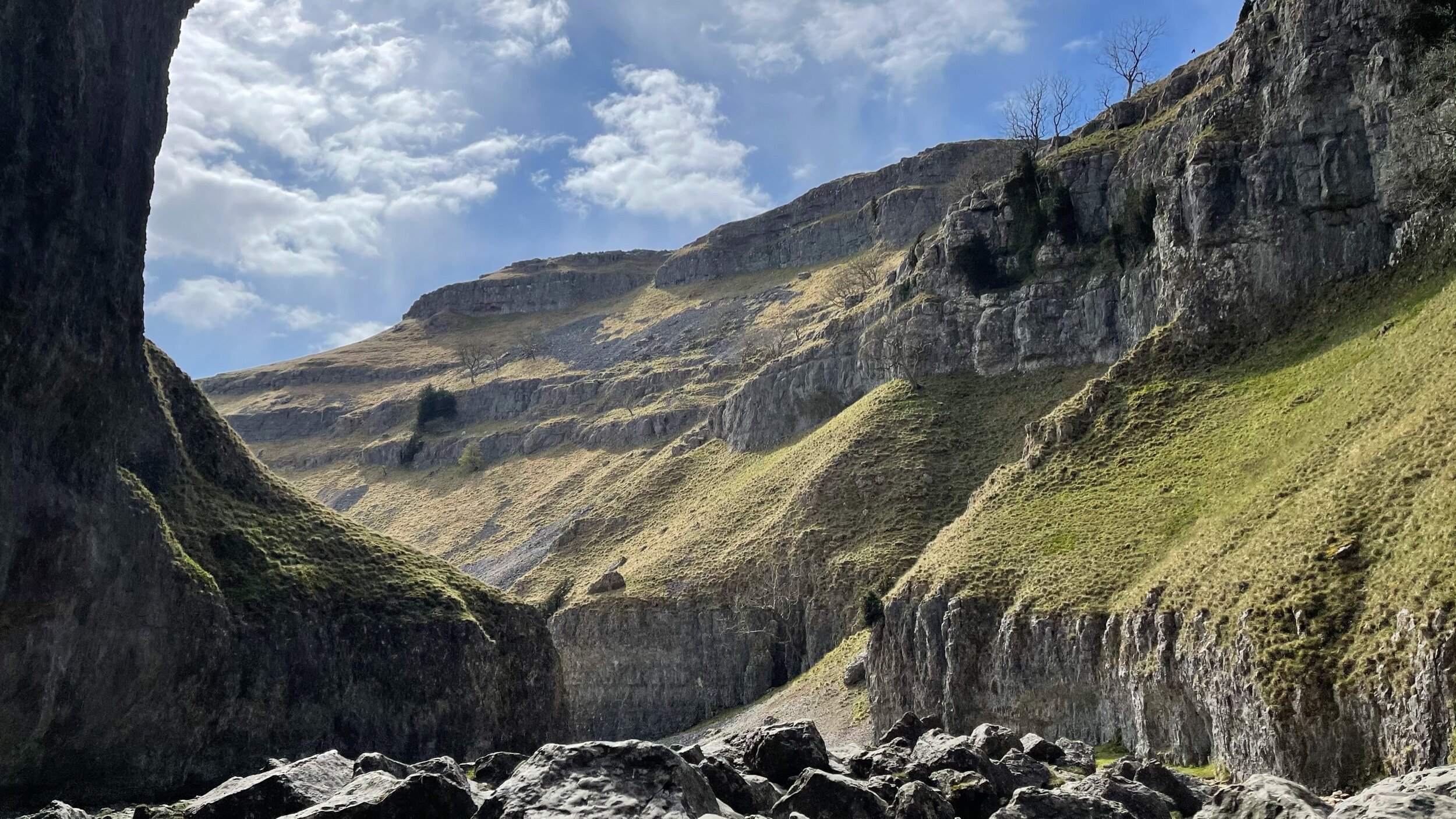
MALHAM COVE, SHIRE
A magical route through the Yorkshire Dales — waterfalls, fairytale caves and insane views throughout
Looking for best walk in the Yorkshire Dales? Look no further…
Distance: 8.32 miles
Time: 2-4 hours
Ascent: 900 feet
Start: National Park Centre, Malham
Navigation link: follow the trail here
Feel like you might’ve accidentally clicked the wrong link?
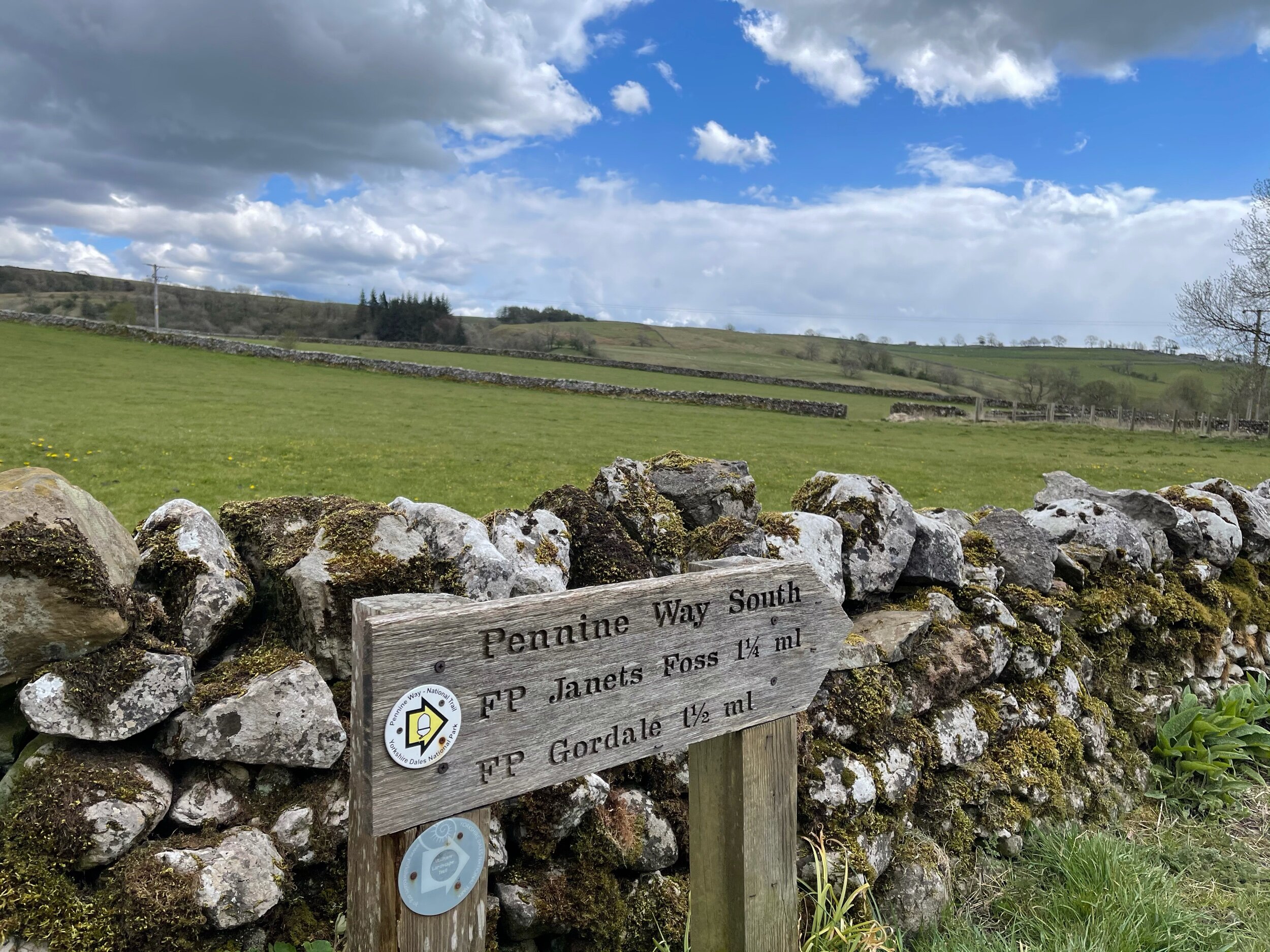
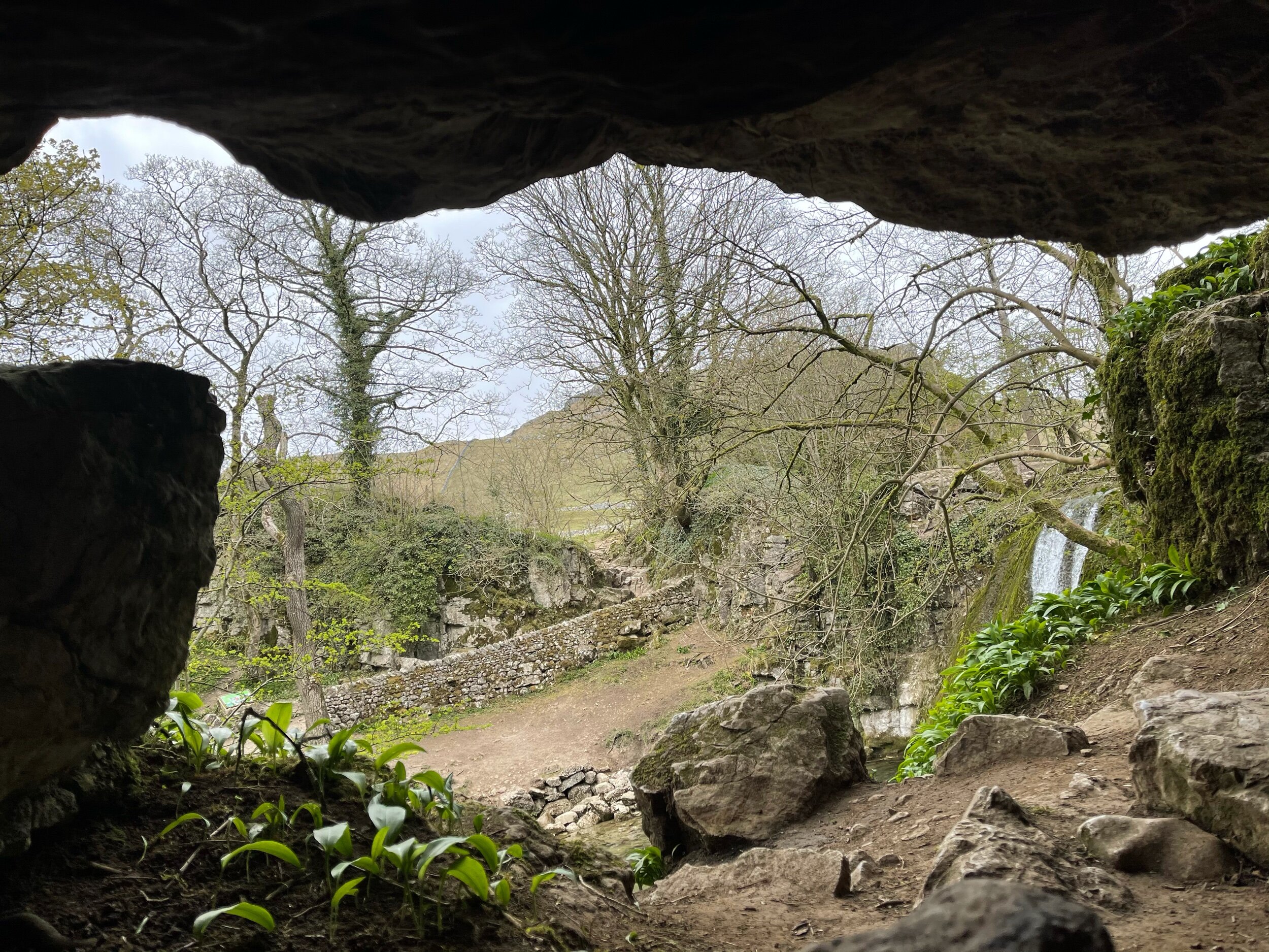
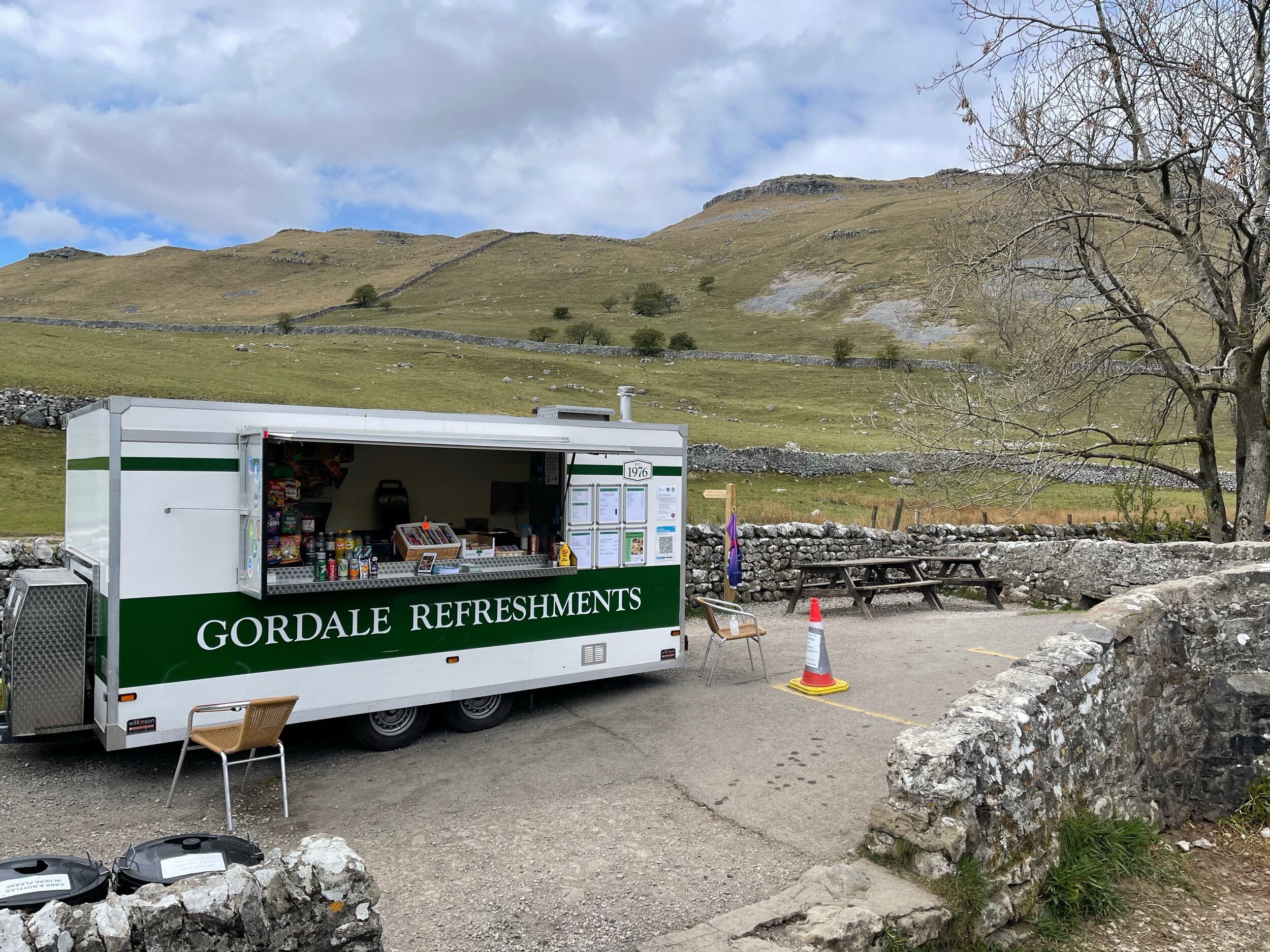
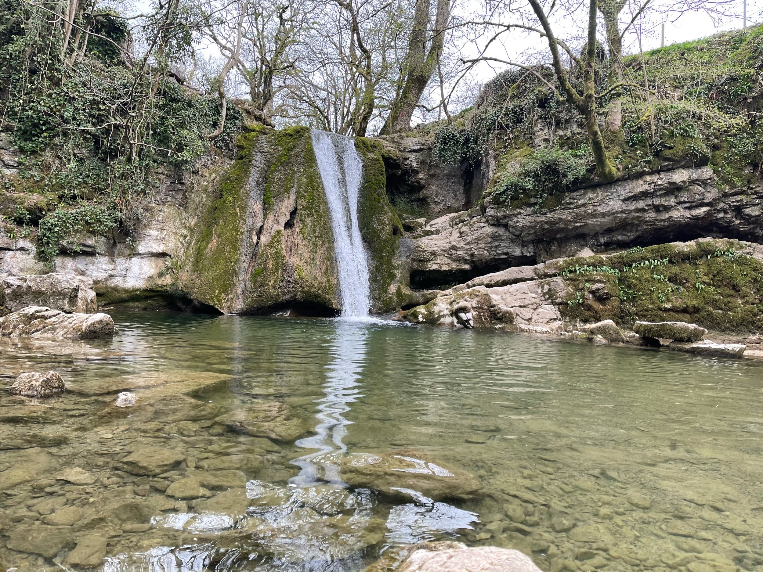
As much as these images feel like another country entirely, they’re still very much within driving distance to our rainy city! This trail truly has it all: not one, but two fairytale-esque waterfalls (Janet’s Foss and Gordale Scar), a hidden cave… and a cove that wouldn’t look out of place in Arizona… and a fairly flat route throughout!
A magnet for families and ramblers alike, Malham, North Yorkshire is home to so many enchating places to explore — that said, it can get pretty busy in the summer months, so if you’re after a less populated stroll, we’d recommend popping down during the week.
Unlike a lot of other waterfalls in the surrounding area, Gordale Scar allows walkers to discover its beauty without having to undertake a difficult climb en route.
Fancy a dip? Wild swimming has become immensely popular over the past year - and we couldn’t think of a better place to dip a toe in than this one!
All in all, if you’re looking for one of the best walks in the Yorkshire Dale’s — you’re sure to find it in Malham.
Follow the route step by step here — or if you fancy shortening the route, a quick pit stop to the National Park Centre will have you set.
UPHILL CHALLENGES:
WALKS WITH WATERFALLS:


