ALL TRAILS
BEST CIRCULAR WALKS IN THE PEAK DISTRICT: SOLOMON’S TEMPLE
An idyllic short walk in Buxton boasting impressive views
Start: Buxton Pavillion Gardens, SK17 6BE
Distance: 5.62 miles
Duration: 2 hours
Elevation: 625 feet
Navigation: follow the route here
Perched high over the idyllic town of Buxton lies a monument like no other. Solomon’s Temple is Buxton’s very own folly. The Victorian viewpoint tower built in 1896 stands proudly atop the summit of Grin Low - and, unlike the true spirit of a folly (which usually have no practical purpose whatsoever), Solomon’s Temple actually occupies a site of ancient significance.
It’s built on the site of a tumulus, a Neolithic burial chamber, and replaced the ruins of an earlier structure built by Solomon Mycock. Before the existing tower was built, the area was excavated and contained several skeletons from the Beaker period - spooky stuff.
Grin Low, which Solomon’s Temple is built on, was the main location for the early Buxton lime industry. The large, oddly shaped mounds you see on the walk up to the summit are widespread remains of over 100 large ‘pudding’ lime kilns which date from the 17th-19th centuries.
And as for the route itself? Well, it’s one of our favourite walks this side of the Peaks, that’s for sure.
With your choice of woodland trails leading from Poole’s Cavern to the summit, you’re sure to be met with beautiful landscape and spectacular views whichever way you venture.
Fancy giving it a go? Follow the route here
BEST LONG HIKES NEAR MANCHESTER: DOVESTONE RESERVOIR
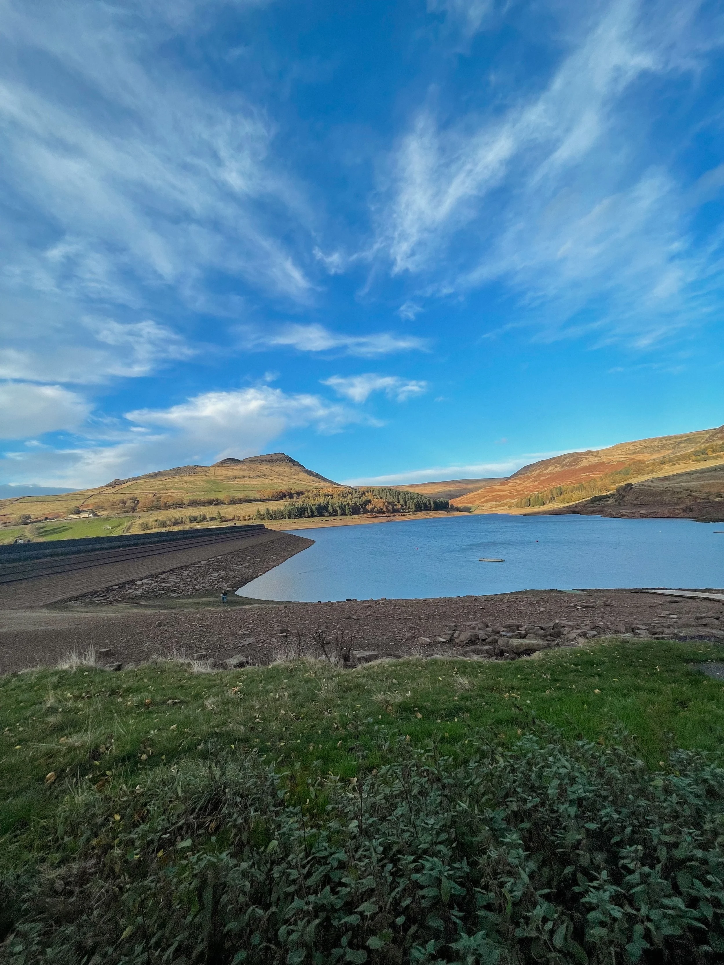
This popular Dovestone Reservoir walk is a local favourite for a reason. We prefer visiting at Autumn, but it’s a perfect all-weather!
(Although do make sure you wrap up, it gets chilly up those in those hills)
Start: Greenfield, OL3 7DD
Distance: 7.79 miles
Duration: 2-3 hours
Elevation: 1,225 feet
Navigation: follow the route here
Dovestone Reservoir has become increasingly popular in recent years and can get quite crowded. Fortunately, routes like this one exist: taking you on the outskirts of the popular landmark for an even better view of the area, instead.
Our walk takes you along the edge of the moor to the south of the reservoir for a more secluded walk. Upon reaching Alphin Pike, you’ll enjoy an incredible vista over West Manchester and even as far as Wales, before heading over to Wimberry Rocks for a great view down onto the reservoir and surrounding valley.
Better yet, our walk has an alternative starting point to the main car park, so you won’t be left fighting over a space during those busy periods. Ticketing is rife in this area so please do park responsibly.
En route, expect lush greenery, incredible views and a variety of wildlife every way you turn. As a genuine haven not far out of the city centre, it’s no surprise this place is so popular.
Soon after passing Wimberry Rocks, you’ll be greeted with views of Pots n Pans and another reservoir of your very own: Chew Reservoir.
Fancy heading there soon? Follow our route here
BEST WOODLAND WALKS NEAR MANCHESTER: ASHOP CLOUGH
If you’re looking for a magical walk as we head towards the most magical time of the year, a trip to Ashop Clough and the Snake Woodlands is a must
Start: Hope Woodland Car Park, S33 0AB
Distance: 3.59 miles
Duration: 1-2 hours
Elevation: 400 feet
Navigation: follow the route here
Easily missable as you drive along Snake’s Pass (A57), this magical wonderland is hidden from view until you venture down into the woodland adjacent.
This stunning pine forest landscape will have you feeling like you’re in the depths of a Canadian national park, much less on the outskirts of Glossop…
Surrounded by rolling hills, pine trees and babbling streams, you won’t be short on fairytale-like scenery on this short circular walk. In fact, this route has a mix of everything: magical woodlands, eerie moorland and even some spooky ruins to boot.
This route in itself is an absolute gem — but if you’re looking to get a few extra miles in, popular Peak District landmarks Higher Shelf Stones and the B52 Crash Site can easily be incorporated. You can follow our Crash Site walk here,
Due limited parking spaces, we advise going off-peak when you can. The good news is, you’ll usually have the place to yourself due to its hard-to-reach location.
Ready to be transported to your very own fairytale? Follow the route here
THORPE CLOUD
Gothic manors… idyllic tearooms… and a trig point to boot — this walk in Ashbourne has it all
Start: Blore Pastures Carpark, DE6 2BS
Distance: 5.49 miles
Duration: 2.5 hours
Elevation: 1,000 feet
Navigation: follow the route here
Whether you’re here for the stepping stones across the River Manifold, or fancy indulging in the history of this quaint town’s old manor house, a day trip to Ilam Park is always a good idea.
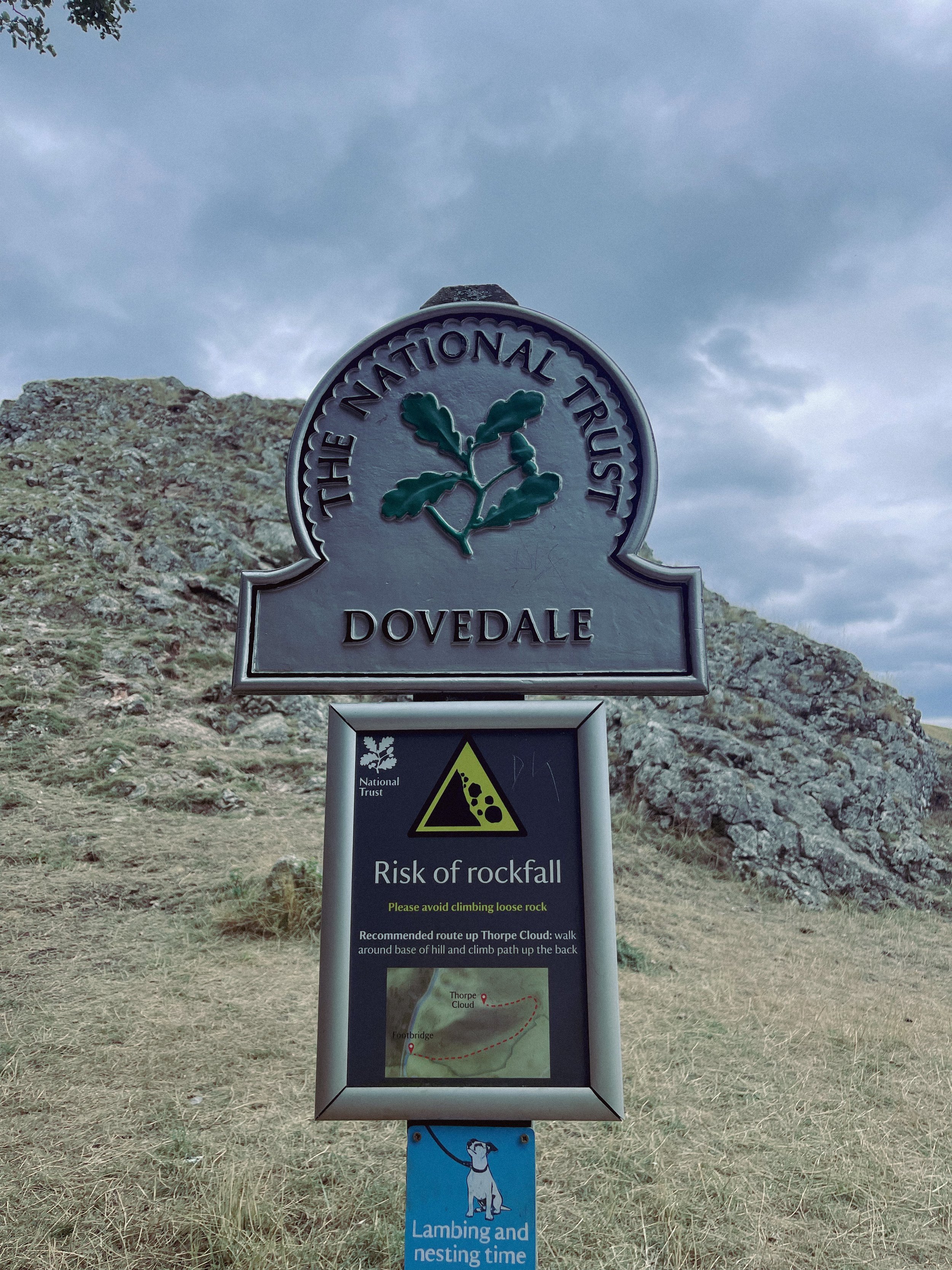
After a meander around Ilam Hall, our route takes you up Thorpe Cloud as you summit the hill for breathtaking views across the dale, and return home via the stepping stones across the River Dove.
Thorpe Cloud is found in the White Peaks on the southern end of Dovedale — a gorgeous limestone hill that attracts thousands of visitors each year thanks to its unique shape and close proximity to Dovedale Stepping Stones.
The route up to the summit is easy-to-follow, navigated by blue markers on signposts. With some steep parts that’re a good challenge for beginners, the walk is short and sweet with plenty of options to extend if you’re feeling particularly energetic.
The Stepping Stones are a very popular Peak District attraction, so if you’re wanting to explore free from pedestrian traffic, we’d definitely recommend visiting off-peak if that’s an option for you.
That said, they’re a must-do Peak activity… and well worth the visit!
Grab yer hiking boots and follow one of our favourite Peak District walks here
LANTERN PIKE
A stunning stroll around Hayfield’s lesser populated countryside
Start: Sett Valley Trail Car Park, SK22 2JG
Distance: 7.63 miles
Elevation: 1,150 feet
Duration: 3.5 hours
Navigation: follow the route here
If you’re an avid hiker, we’re sure you’re no stranger to the Peak District ‘big one’, Kinder Scout. But have you ever traversed this village’s lesser known trails?
Starting on the Sett Valley Trail. this walk leads you up to the fallen trig point at Lantern Pike, finishing off at one of our favourite country pubs this side of the Pennines, The Little Mill.
As far as trig point routes go, this is a scenic one for sure. The start of the walk takes you along Birch Vale Reservoir along a tree-lined path that’s a haven for wildlife.
From here, you journey onwards to a short climb up towards the Pennine Bridleway where the lane narrows into a stony path just before the base of Lantern Pike. Once you’ve reached this point, it’s smooth sailing up to the rig point atop the summit.
And as for the views when you’ve reached the trig? You’ll instantly forget about the slog up to the summit — rewarded with insane, far-reaching views as far as the eye can see. Expect a patchwork of fields, heather moorland and the magnificence of towering neighbour, Kinder Scout.
Don’t fancy giving the trig challenge? Fear not, The Sett Valley Trail itself makes for an incredible Sunday Stroll with 2.5 miles of traffic-free scenery perfect for walkers and cyclists alike.
The trail follows a former railway line through the beauty of Derbyshire’s countryside, taking you along the Pennine Bridleway between Hayfield and Birch Vale.
And if you’re after ticking off a few trigs in one day, why not extend the walk to include nearby Harry Hut and Burnt Hill?
Or if you fancy following our shorter route, give it a go here!
FLETCHER MOSS
This tranquil stretch of Didsbury is perfect for recharging after a busy week in the office.
Start: Chorlton
Distance: 6.13 miles
Elevation: 75 feet
Duration: allow approx. 2 hours
Navigation: follow the trail here
Tucked away between numerous Mancunian green spaces, you’ll find Fletcher Moss Botanical Gardens in all of its unsuspecting glory. It’s an oasis, that’s for sure, and given its location just a stone’s throw away from lively South Manchester, an unexpecting one at that.
Better yet, entry into this incredible garden and surrounding woodland is completely free.
There are several different sections and terrains to cover, from the nature reserve itself, to the Parsonage gardens, river Mersey, a trail through the woods… and most people’s favourite: the rockery.
The rockery is well-maintained and a real gem to escape the hustle and bustle of city life for an hour or so. The Old Parsonage is the second oldest building in Didsbury and has only ever been lived in by two of the church ministers.
Back in 1915, Fletcher Moss gifted the house and gardens to the City of Manchester and much of the present layout was designed by Moss himself and his mother.
Today, you’ll find a large number of ornamental trees, a striking neo-Norman stone arched gate and numerous species of wildlife.
Thanks to the park’s clever layout, the stunning rock gardens are protected from the elements — home to a south-facing slope for shelter, perfect for sitting in the garden on a Mancunian summer’s day.
Aside from its perfectly groomed gardens, Fletcher Moss is home to an array of wildlife, and even a Bug Hotel.
And in true Manchester style, you’ll even find a little slice of hipster heaven in the form of The Alpine Tearoom, selling up a gorgeous selection of alcoholic spirtzers, NQ-approved hot drinks and tasty food.
Our route starts in Chorlton-cum-Hardy, meaning you can take in numerous hidden South Mancunian scenic delights in one stretch. With a short stroll along the River Mersey en-route, it’s a calming walk with plenty to see along the way, making it one of our best walks to set off on in Manchester.
Like what you see? Follow the route step-by-step here
POYNTON COPPICE
Rich in wildlife, Poynton Coppice is classed as an ancient woodland — leading visitors from the Middlewood Way into the heart of the coppice
Start: Lyme Park (alternatively you can complete the walk in reverse by parking at The Coppice)
Distance: 4.23 miles
Elevation: 430 feet
Duration: allow approx. 2 hours
Navigation: follow the walk step-by-step here
It’s not news that we love walks that link up with The Middlewood Way. With 11 miles of traffic-free paths, we love hopping on here whenever we visit Stockport-way for a little mooch.
We’ve passed Poynton Coppice a few times along the way — and after realising we could walk there from our other favourite landmark in this neck of the woods, Lyme Park, we knew we had to give it a go.
Our favourite part about this part of Greater Manchester are the many off-road transport links that link up with each other. On this particular journey to the Coppice, we walked along The Middlewood Way and The Macclesfield Canal — both offering great links across Stockport.
Poynton Coppice is pretty at any time of year, with swooping trees canopying your every move. Many areas of woodland across the UK are called ‘Coppice’, ‘Copse’ or ‘Copy’ from the French word ‘couper’, meaning 'to cut’.
Traditionally, coppicing provided a continual supply of wood — a traditional method of woodland management which involves cutting young tree stems to near ground level for optimal regrowth.
Fancy a mooch in the woods this weekend? Follow the walk here
WHALEY BRIDGE INCLINE
With neighbouring Buxton and Hayfield (home of Kinder Scout) often taking the peak-shaped glory, Whaley Bridge can be overlooked as a place to grab your boots and go for a walk — and that’s part of the reason it’s one of our favourite places to explore.
Start: Canal Street Free Carpark, SK23 7LX
Distance: 6.9 miles
Elevation: 1,000 feet
Duration: allow 2-3 hours
Navigation: follow our route here
Just a 20 minute drive from Stockport and only 40 from Manchester, Whaley Bridge is one of the most accessible Peak District villages to visit from our neck of the woods — but that doesn’t mean it loses any of its charm. While many walkers use the village as a great base to explore other more challenging routes, Whaley itself has many idyllic spots that’re often overlooked by tourists and ramblers alike.
Whether it’s a walk along Bugsworth Basin towards Eccles Pike, or a trip to nearby Goyt Valley, Whaley Bridge has much to offer in untouched countryside and gorgeous landscapes to explore.
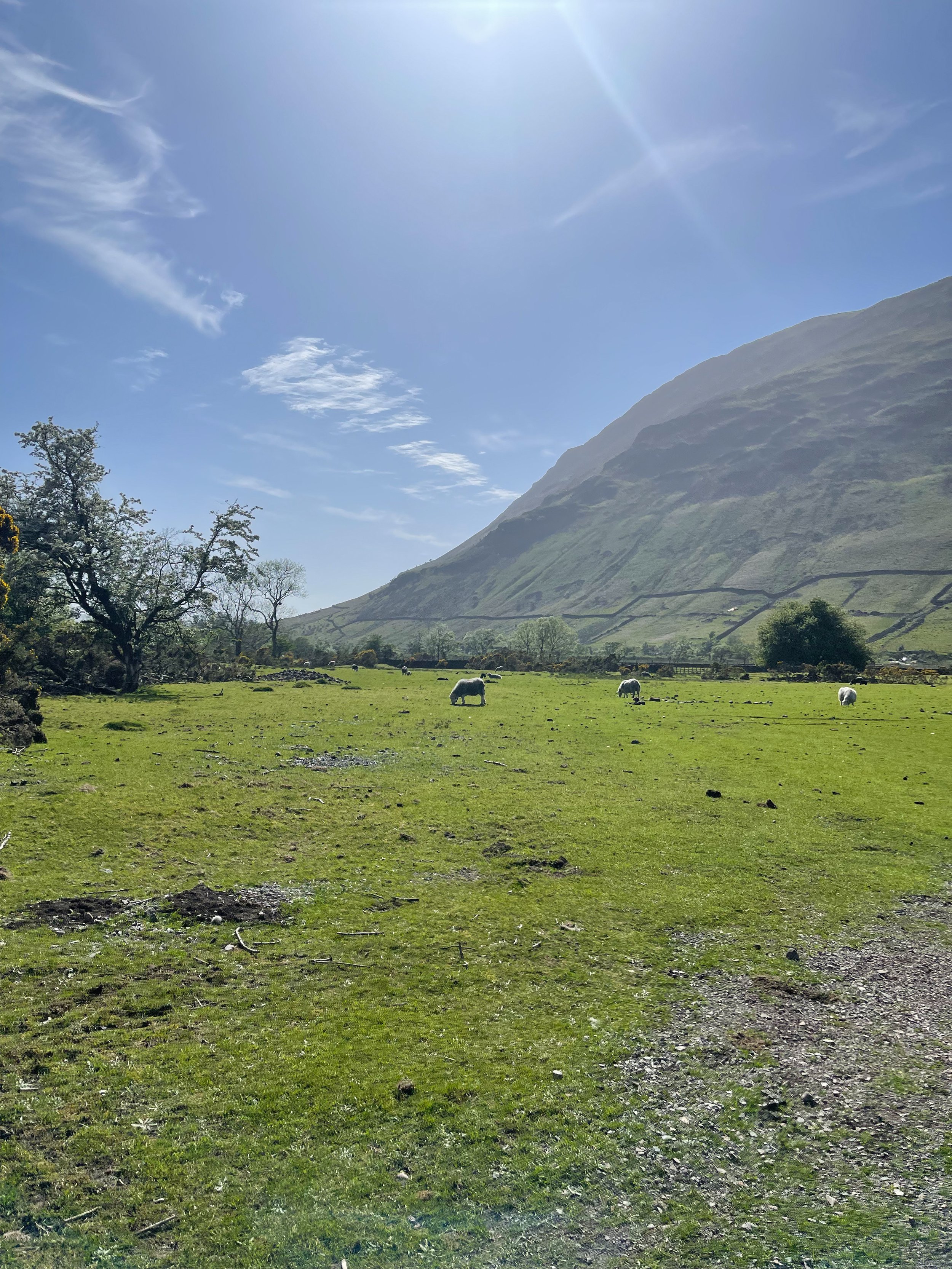
But for us, the true showstopper in Whaley is its own surrounds. Due to the popularity of other routes nearby, we pretty much had the entire trail to ourselves (except for plenty of sheep… and even some llamas!)
Our walk starts at the Whaley Bridge Canal Basin, which you can follow along to Marple one way and Macclesfield the other. Following the incline, you’ll come across plenty of stiles and well-marked paths through idyllic farmland and fields up to Kettleshulme, with a well-earned pitstop at The Swan Inn mid-route.
On the homeward leg, you can stop off at Todd Brook Reservoir and Brookfield Pond nature reserve for a final pit stop and a much-deserved refuel.
Fancy giving this walk a go? Follow one of the High Peak’s best routes here
SCAFELL PIKE
Being high up in the mountains can be some of nature’s best therapy. So why not give England’s highest a go?
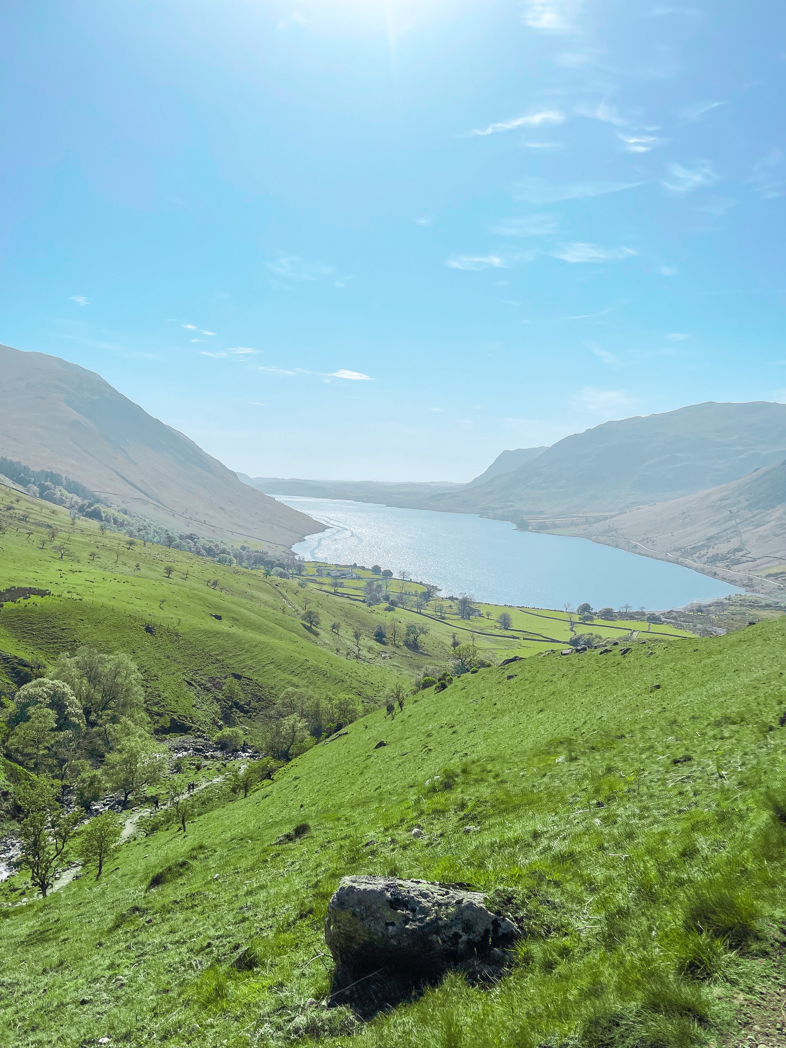
Start: Lake Head Carpark, Wasdale CA20 1EX
Distance: 7.7 miles
Elevation: 3,000 feet
Duration: allow 4 hours
Navigation: follow our route here
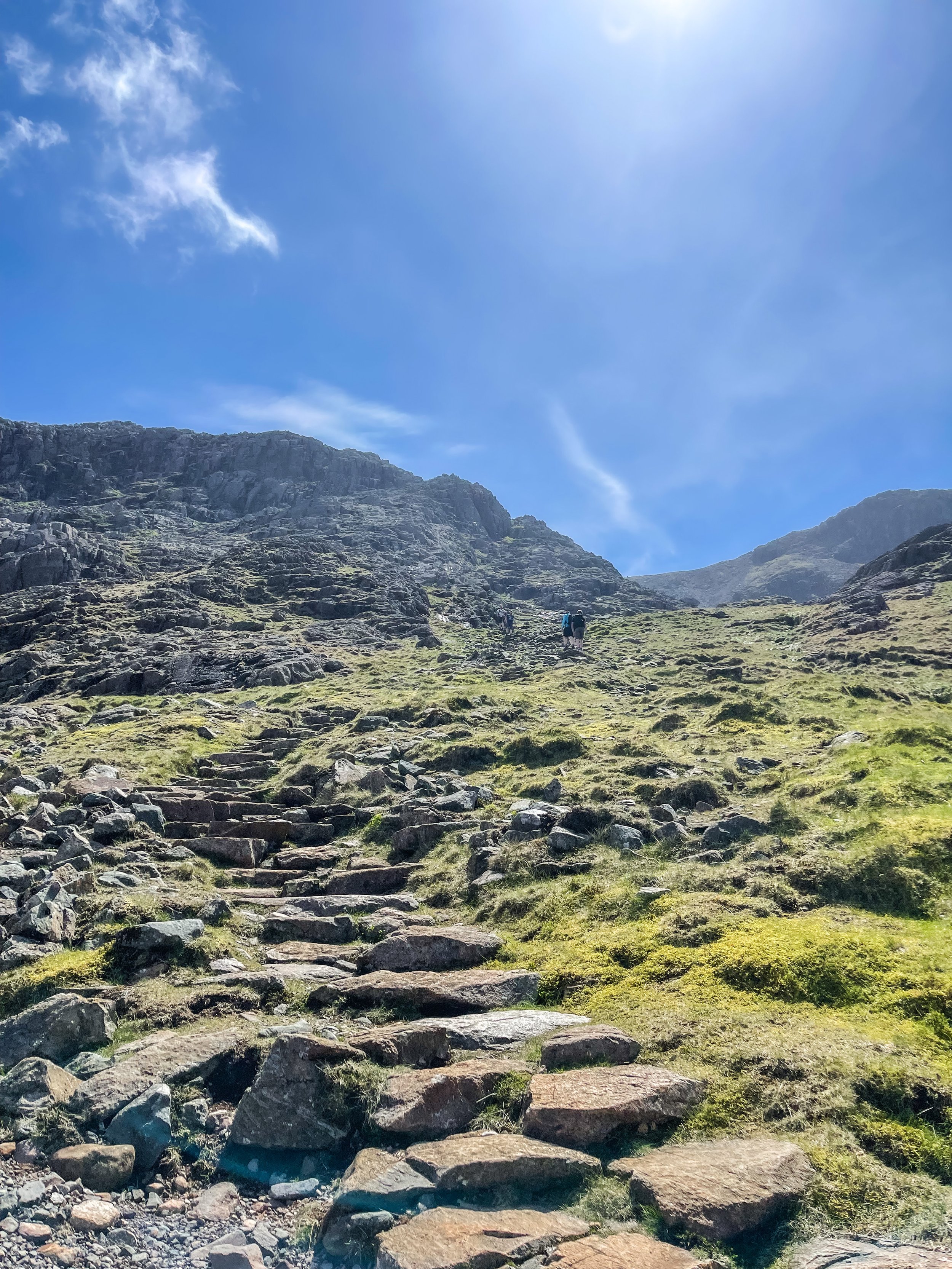
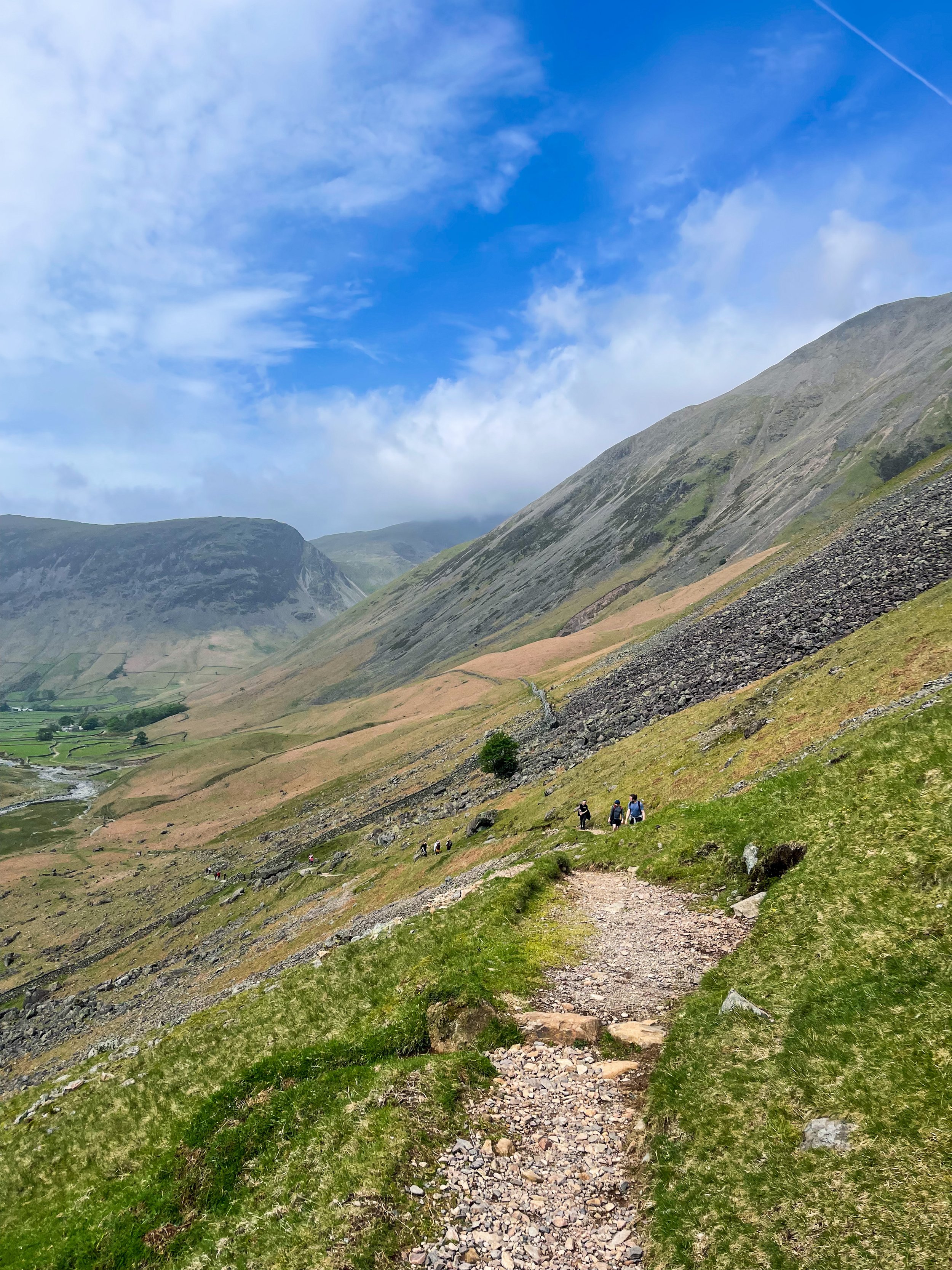
Standing at 978 metres, Scafell Pike is an absolute must for anyone looking to bag England’s biggest peak. Whichever route you take, climbing Scafell Pike is a serious undertaking and requires pre-planning to tackle it safely. That said, be sure to check the weather before you grab for your boots.
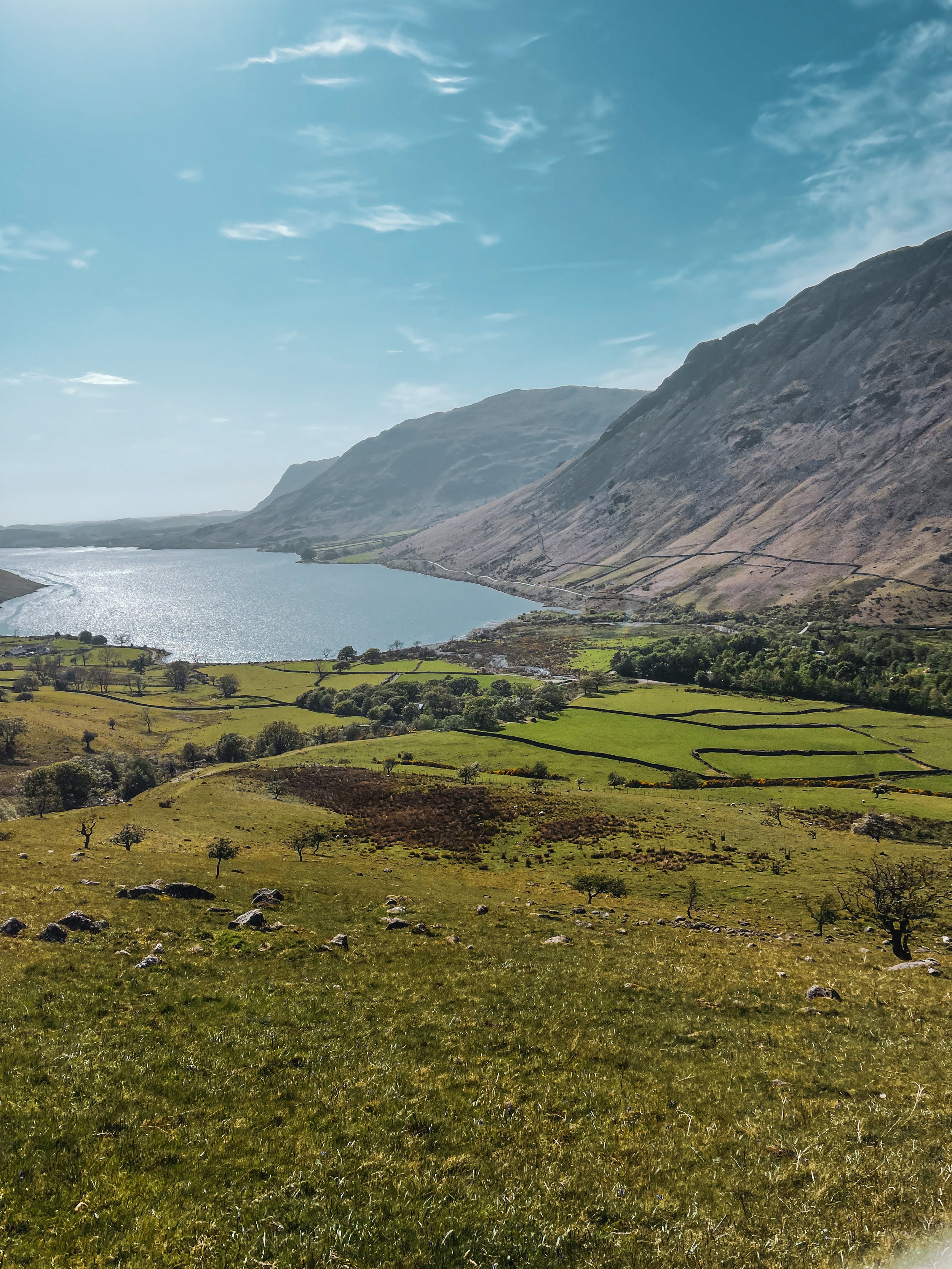
We started at Lake Head Car Park, Wasdale, a popular pay-and-display carpark so getting down early is advised. The remote and scenic valley surrounding offers an idyllic starting point. The main path up to the summit is advised for beginners, but if you’re up for more of a challenge, the corridor route offers a more scenic alternative.
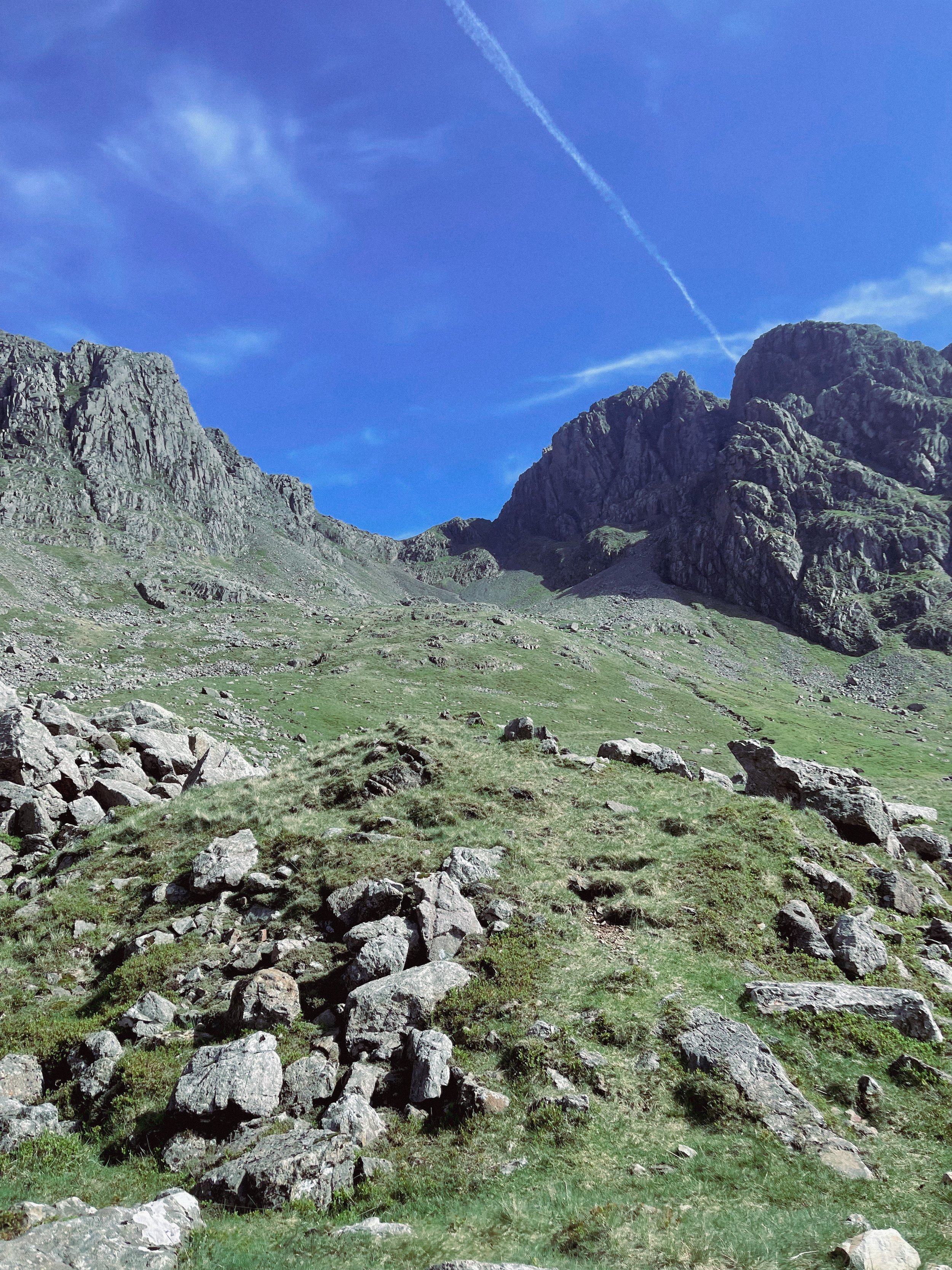
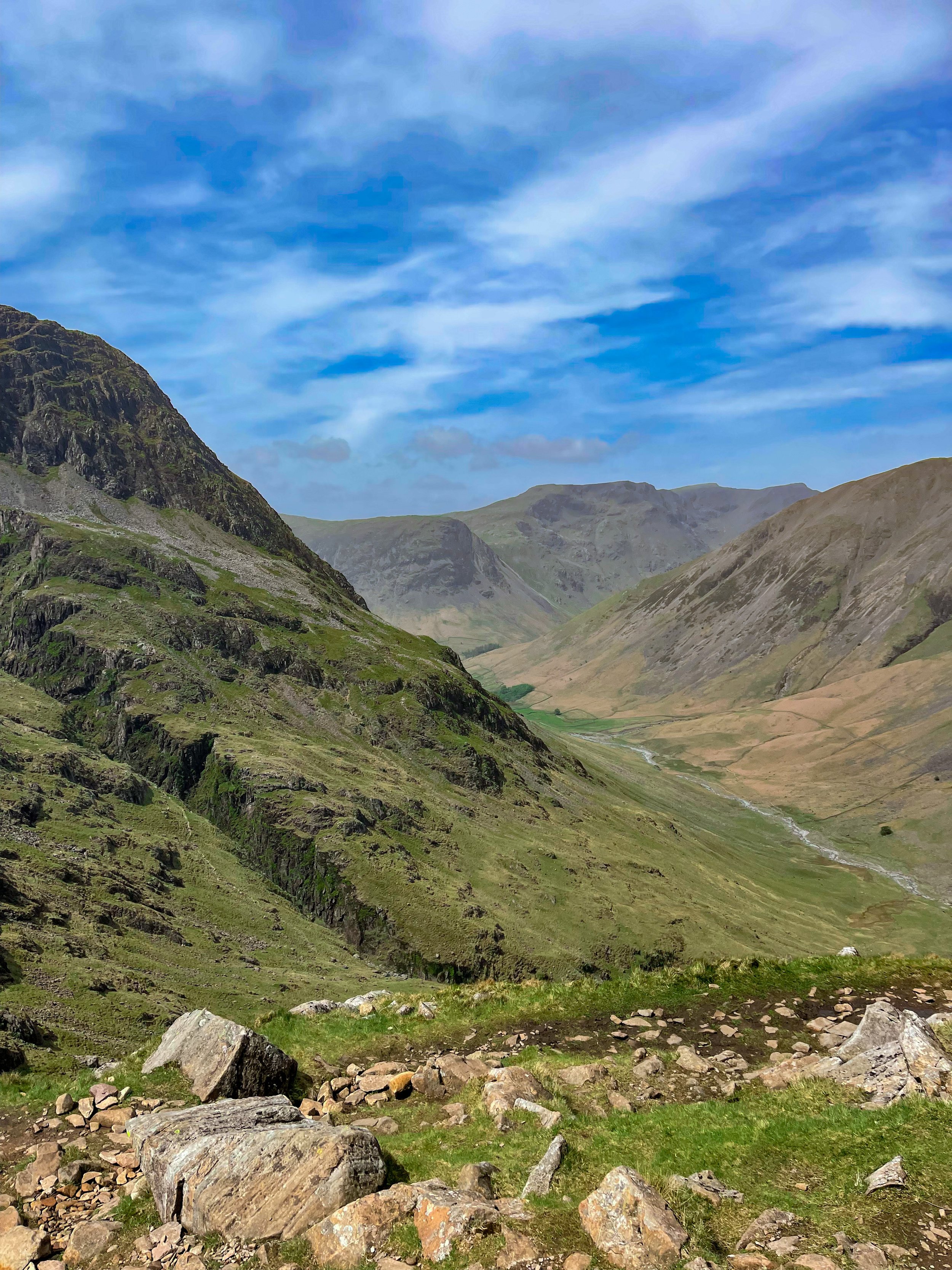
Taking on the Corridor Route, in our opinion, offers better views and a more diverse variety of terrain. It’s usually walked via Styhead Tarn from Borrowdale, but you can pick up the Corridor from Wasdale as you pass under the slopes of the Great Gable. Choosing this route means scrambling is required at parts, but the incredible vistas are well worth it.
The trail is a pretty straightforward one to follow, with a clear path for most of the way. Once approaching Greta Gill, there is a slight scramble down but it’s easy enough to descend.
The Corridor is a real mountaineers route and rewards you with breathtaking rock scenery once you ascend on the Corridor itself. In our opinion, this circular walk is the best option for breaking up the ascent while offering incredible views everyway you turn.
Once reaching the summit, if you’re lucky enough to be blessed with a clear weather day—the views you’re rewarded with will take you back and then some. If the weather permits, you’ll be able to bask in the beautiful Cumbrian coastline, with views stretching out to the Isle of Man and beyond.
For those looking for a real challenge, why not take on Sca Fell (England’s second highest mountain) and Scafell Pike in one day? Climbing both in one day throws in bonus views —and double the bragging rights— with an exhilarating descent back to Wasdale.
Fancy following our route up to England’s biggest mountain? Click here
THE ROACHES AND LUD’S CHURCH
Always fancied venturing to Lud’s Church? This walk offers a quieter alternative route, taking in some of the best sights the Peak District has to offer…
Start: Roaches UKC Parking, ST13 8UA
Distance: 7.7 miles
Duration: 3-4 hours
Elevation: 1,100 feet
Navigation: follow our route here
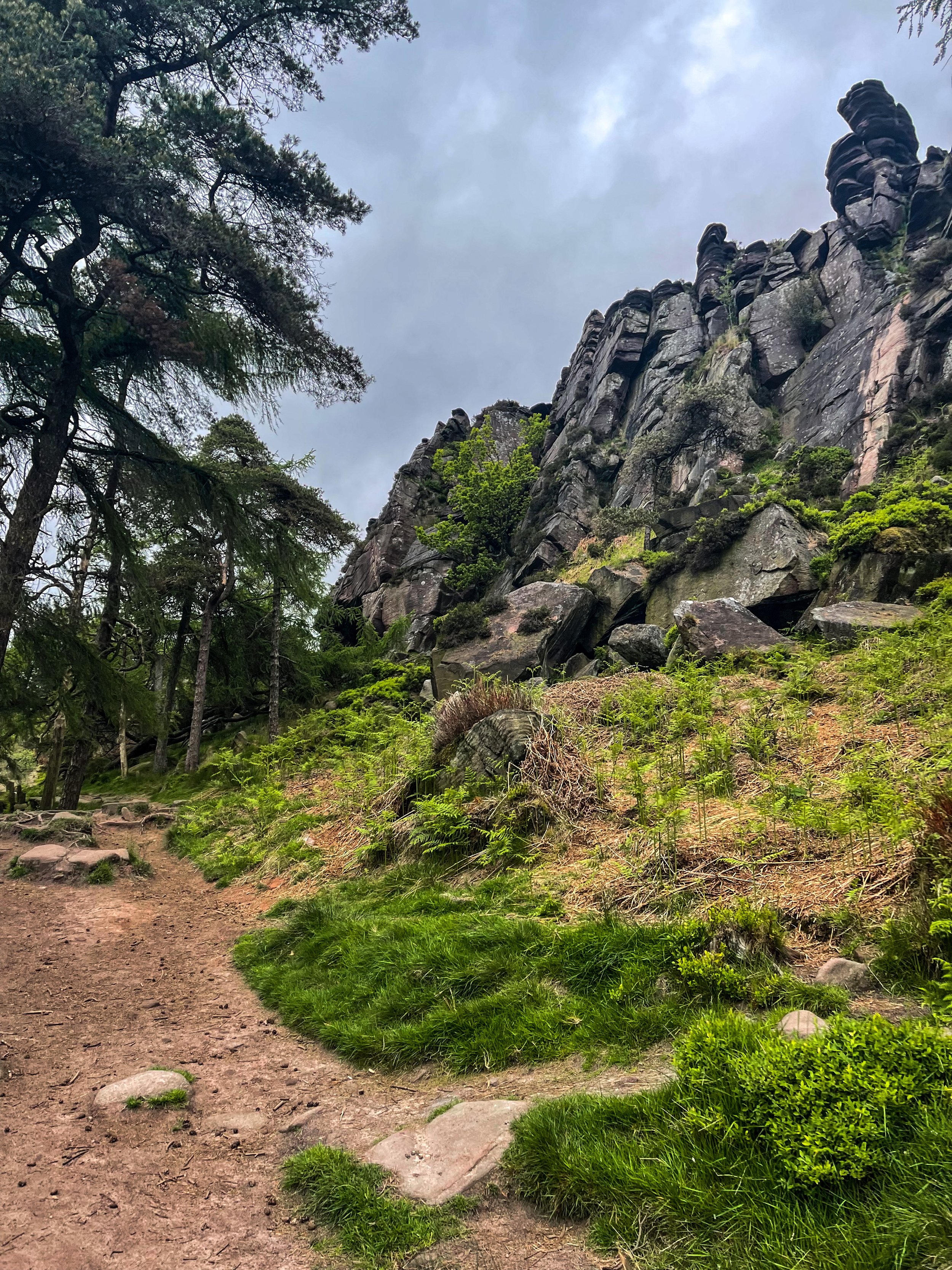
The Roaches walk usually offers a quieter route up to Lud’s Church, offering the breathtaking views to match. Before approaching The Roaches trig point, you’ll meander through an unusual sandstone landscape that’ll transport you to a time gone-by.
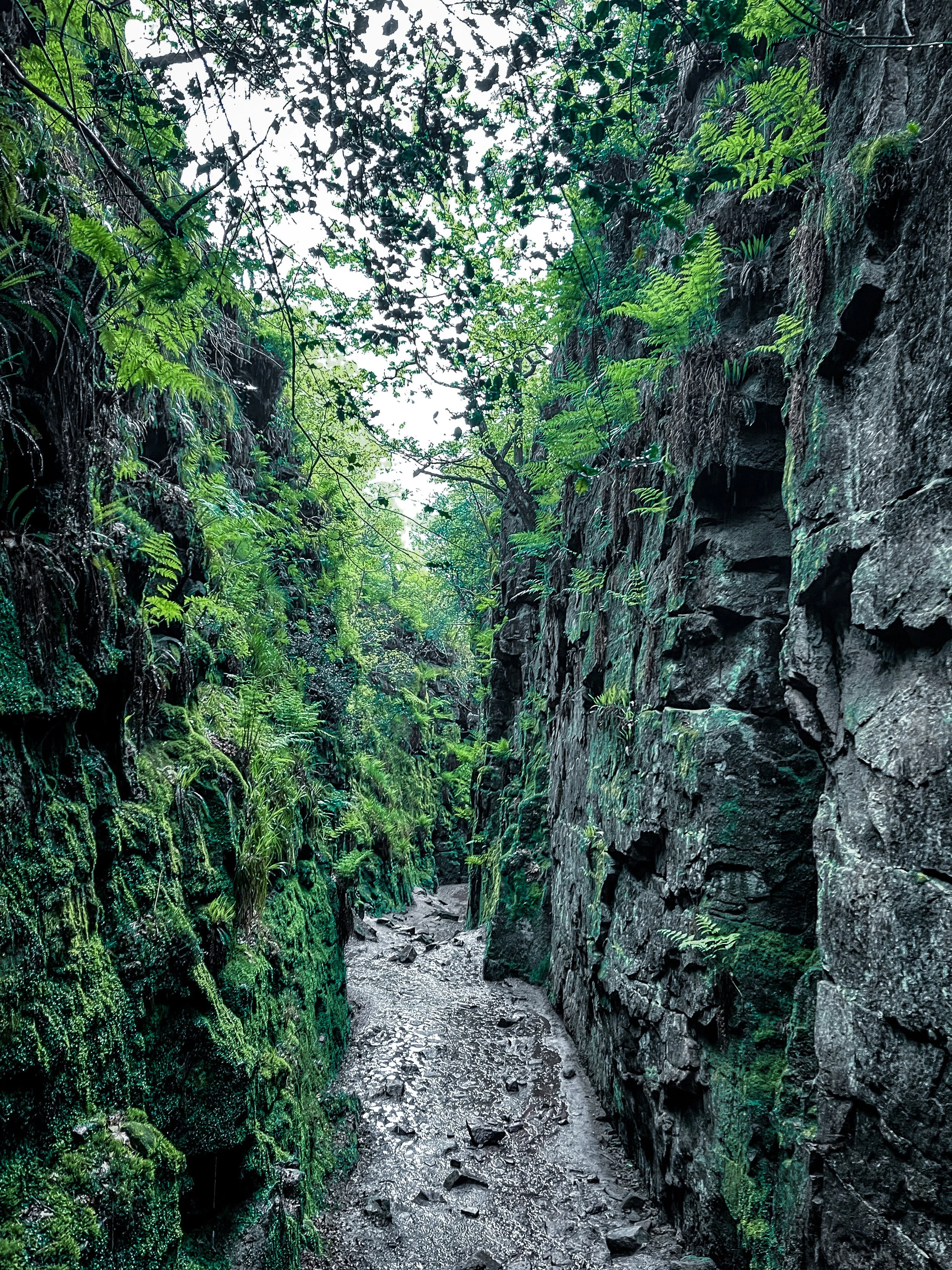
Lud’s Church itself is one the Peak District’s must-see landmarks, and from the moment you step foot into its surrounds, we’re sure you’ll understand why. Pictures definitely don’t do this place justice, so a trip to Lud’s is a must!
The ravine that makes up Lud’s Church is thought to have formed during the post-glacial period —some 11,000 years ago— by a large slip of Roaches Grit: a coarse form of sandstone.
It wasn’t until the 15th century that this place became a popular place to dwell— among a secret community, at least. A group of religious dissenters called the Lollards flocked here to hold covert religious meetings to escape the prosecution of the Catholic Church. It’s thought the name of a man arrested at one of these meetings, Walter de Ludank, inspired the name of the site.
Today, the area provides a dramatic nature walk through the Black Forest, transporting passers-by into old England and its many forgotten tales. You certainly don’t have to stretch your imagination too much to picture this place as the origin of many myths and mysteries.
Over the centuries, its’s been associated with tales of Robin Hood and his Merry Men, who’re thought to have hid here as a place of refuge.
Our route starts in Upper Hulme, first taking you up a fairly steep climb to Hen Cloud. From here, you’ll head up towards The Roaches, strolling along the top of the moorland until you reach woodland that takes you to Lud’s Church.
The Roaches is a 505-metre high ridge that soars above Leek and Tittesworth Reservoir, making for incredible views on a clear day. Surrounding, there’s ample places to explore with lots of diversions for those wanting to spend the day discovering new paths.
With such a variety of landscapes in a relatively short walk, this is definitely one of our favourite walks up north. On a clear day up the ridge, you may even spot Snowdon in the distance.
Sound like your ideal day out? Follow the route here
STRETFORD MEADOWS
A scenic hideaway right on Manchester’s doorstep…
Start: Urmston Lane, M32 9BP
Distance: 4 miles
Duration: 1.5 hours
Elevation: 100 feet
Navigation: follow our route here
Scenic views and wildlife might not be the first things that spring to mind when you think of Stretford, but that’s what makes this scenic spot just off the M60 so special.
One of the best short walks in Manchester, this route has it all: country lanes, a coffee pit stop and many links to extend the walk, including the Trans Pennine Trail.
While much of Stretford’s agricultural history has been lost to urban progression, this place is very much still teeming with wildlife. In the 19th century, Stretford was a hub for agriculture—known locally as Porkhampton due to the of pig farms which provided produce for the nearby Manchester Market. Wild, eh?
Back then, Streford was also an extensive market gardening area, described as the "garden of Lancashire" by writers of the time. In 1845, over 508 tons of vegetables were being produced each week for the Manchester Market, with their specialty being rhubarb—known locally then as “Streford beef”.
So successful was Stretford’s vegetable output, it became known as “ the Eden of Lancashire” throughout the Victorian era. In 1845, over 508 tons of vegetables were reported to be produced by Stretford market gardens for Manchester residents.
Pre-industrialisation, Romans named the area we now know as Stretford ‘Streta’—meaning street on a ford. Until the 1800s, the area existed as a cottage community dependent on hand-weaving, providing employment for almost 800 workers.
Our route takes you along a path which follows the line of the old Roman road from ‘’Deva Victrix’’ (Chester) to ‘’Mancunium’’ (Manchester), crossing the Mersey into Stretford at Crossford Bridge, a crossing point of the ancient ford.
Upon reaching the meadows, you’ll explore woodland paths, ponds and secluded spots which provide an ideal habitat for wildlife and a perfect place to unwind.
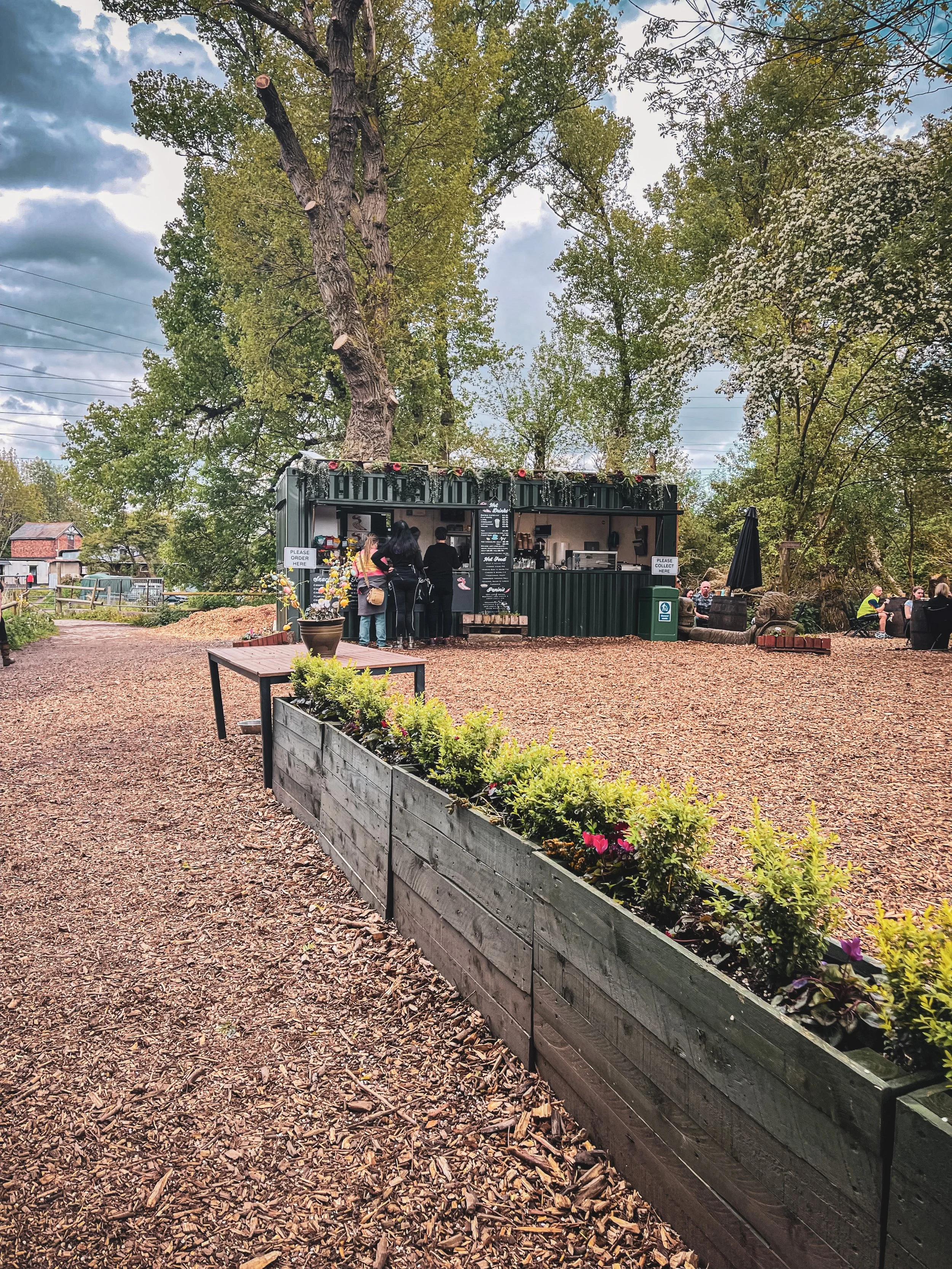
After a short stroll around the meadows, you’ll join the Trans Pennine Trail where you can enjoy panoramic views of the River Mersey. Along the way, you’ll pass Riverside Cafe, a gorgeous pop-up cafe selling hot drinks, sweet treats and homemade food.
For those looking to make a proper day of it, you can extend the route by heading to Old Ees Brook in Urmston, or by meeting up with one of the route’s many traffic-free transport links, including the Trans Pennine Trail or the Bridgewater Canal.
Fancy giving it a go? Follow the route here
THOR’S CAVE
Thor’s Cave is known as one of the Peak District’s most famous caves… and with good reason.
Start: Wetton Mill, DE6 2AG
Distance: 7.74 miles
Duration: allow 3-4 hours
Elevation: 1,350 feet
Navigation: follow our route here
This is a brilliant route that takes in some of the best landmarks the Peak District has to offer: the beauty of Manifold Valley and the magnificence of Thor’s Cave. Just look at those views!
From Wetton village, this route first takes you along the Manifold Valley and past Wetton Mill with more caves to explore, before allowing you to finish at the perfect beauty spot: Thor’s Cave.
Thor’s Cave is an iconic natural cavern on the side of the Manifold Valley, making it a perfect spot to reward your efforts after a long day’s walk. Some scrambling to the chamber is required, making it perfect for big kids and little ones alike.
Thor’s Cave is a popular attraction so we recommend visiting out of season or towards the end of day to avoid a wait up to the cave. You can also shorten the walk—and fast-track your arrival on busy days— by simply heading to Thor’s Cave and back from Wetton, cutting out the meander along the Manifold Valley.
There are some steep uphill segments but the views are worth it. The views out into the valley are immense, but do make sure to take care while exploring there are steep drops shortly after the entrance and the surface can be slippery.
The origin of Thor’s Cave name is unknown but has obvious links to the Norse god Thor. Historically, evidence of human occupation of Thor’s Cave has been found dating back to the latter part of the Stone Age, around 11,000 years ago—with continued use into the Iron Age and Roman period. Excavations of the area have found living utensils such as stone tools, pottery and bronze items, as well as burial sites for seven people.
Fancy giving it a go? Follow our route here
THE TORRS CIRCULAR
An idyllic 10 mile loop taking in the best of Stockport’s forgotten history
Distance: 10.5 miles
Duration: allow approx. 4 hours
Elevation: 1,200 feet
Start: Peak Forest Canal, Marple SK6 7NP
Navigation: follow the route here
On initial glance, New Mills may look like any ordinary Peak District village: small, picturesque with little much-to-do around the town. Venture just a few steps downwards towards the River Sett, and you enter another landscape entirely.
Below the hustle and bustle of the main shopping centre lies New Mill’s (not so) hidden gem: The Torrs. We’ve done this walk a few times, and every time we’re amazed by the astounding natural gorge that lies below.
Expect colourful cliffs, enormous viaducts and a long bridge that transports you to the Goyt Way; making for one of the best walks in Derbyshire.
The Torrs itself makes for a great short circular route if you’re not planning on venturing far, but our trail starts and ends in nearby Stockport. From Marple, you’ll head towards The Roman Lakes and passed the site of Mellor Mill Ruins. Once a shining star or the Oldknow Empire, Mellor Mill was the biggest spinning mill the world had seen during its time of construction.
What remains of the mill have since been taken over by the natural world, making for a gorgeous pitstop by the Peak Forest Canal and River Goyt.
Passing the ruins, you’ll make the ascent towards Mellor Cross—a local landmark on Cobden Edge. The cross was originally erected in March 1970, made by a carpenter local to the area. From The Cross, you’ll reach Mellor Moor, where you’ll be rewarded with views across the western edge of the Peak District and the Cheshire Plain.
The moor’s umpteen tracks date back to prehistoric Old Mercian trackways, and make great aids for exploration. The line of an ancient trackway is said to be the route of monks and pilgrims, with waymarkers signifying Old Mercian landmarks and monasteries.
Descending from the moorland, we head towards New Mills where you can stop for a well-earned refuel. The town boasts an impressive mix of independent shops, cafes and pubs, perfect for that much-needed pitstop before the homeward leg. We stopped off at Clockwork Cafe, which has all your caffeine (and Derbyshire Oatcakes!) cravings covered.
After a refuel is where you’ll be greeted with the trail’s main event: The Torrs Millennium Walkway. This 175-yard aerial walkway spans the cliffsides above the River Goyt, with links to many walking and cycling routes should you choose to travel a different way home. New Mills Heritage Centre provides maps and guides for several nearby walks, including the iconic Kinder Trespass Trail.
In 1932, around 500 walkers from Manchester trespassed en masse from Hayfield to Kinder Scout to secure access right to open country for all to enjoy. Back then, walkers across England and Wales were denied access to areas of open country—luckily for us, the trespass helped pave the way for the establishment of the Pennine Way and other long-distance footpaths enjoyed today.
Fancy following in their footsteps? You can follow our Hayfield to Kinder Scout route here.
On the home stretch, the Goyt Way makes for a relaxing, flat stroll—taking you passed landmarks such as Bruce’s Clock in Strines. In medieval times, Strines stood as a large hunting forest—The Forest of the Peak—before local gentry settled here during the Elizabethan period.
Bruce’s Clock was originally found on the grounds surrounding Strines Hall, with the comings and goings of local people ordered by the striking of its bell in days when clocks and watches were rare household acquisitions.
After briefly meeting back up with The Roman Lakes footpath, you’ll finally reach The Peak Forest Canal to make the last stretch back to Marple.
The Waltzing Matilda sometimes moors here, so keep an eye out if you’re looking to refuel on woodfired pizza.
Fancy giving this walk a go? You can follow our GPX directions here
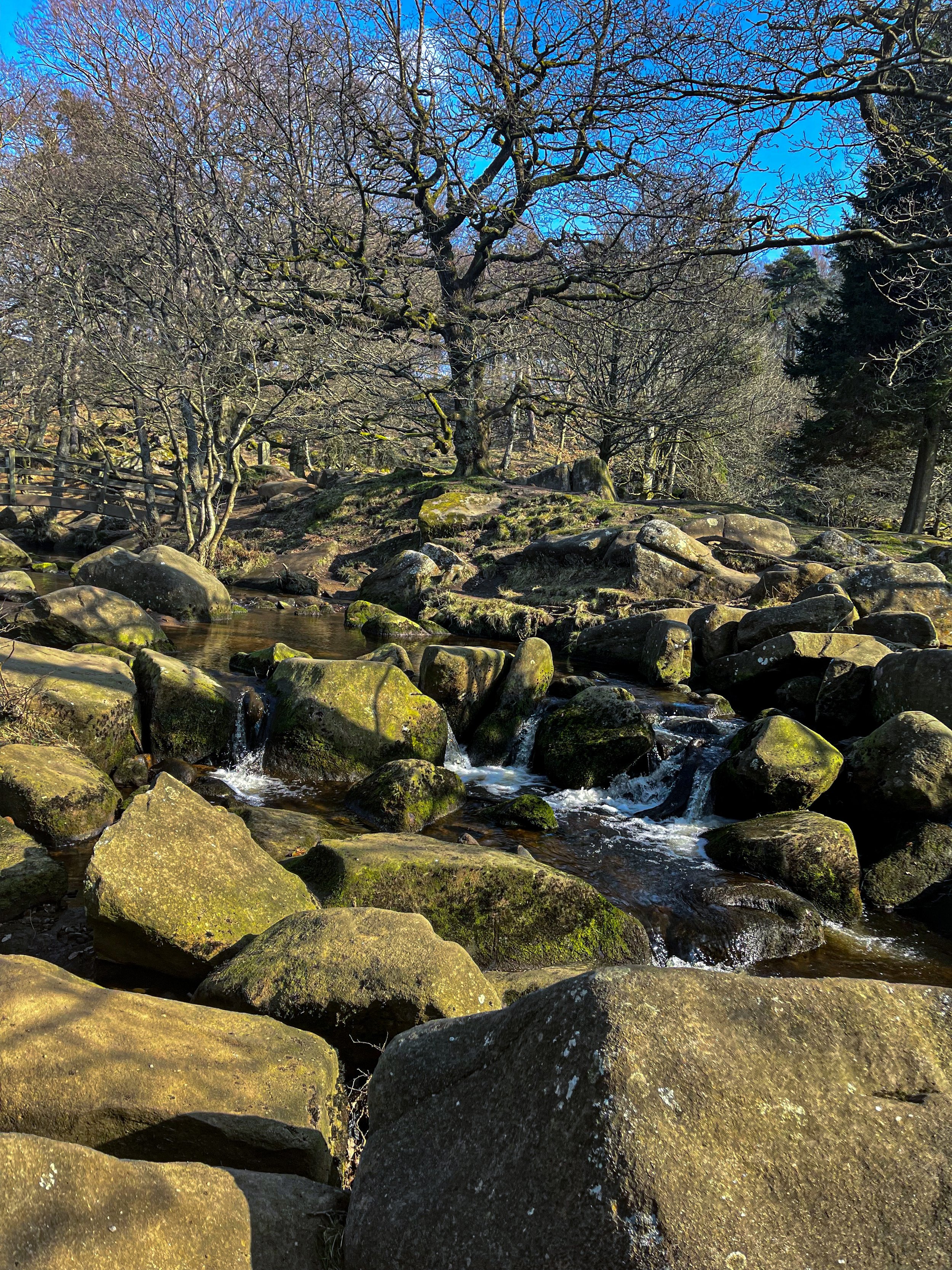
PADLEY GORGE
Gently flowing waterfalls… easy-going ascents… impeccable views and a pub pit-stop, Padley Gorge loop is one of the Peak District’s best circular walks
Start: Upper Burbage Bridge Car Park, Hope Valley, S32 1BR
Distance: 5.3 miles
Elevation: 650 feet
Duration: allow approx. 2 hours
Navigation: follow step-by-step
Route Overview:
This circular walk takes in less-populated trails from the busy Stanage Edge routes around Hathersage, with equally impressive views. Starting at Upper Burbage Bridge Car Park just outside of the town centre, this trail takes you to the magical Padley Gorge, before meandering back for a short scramble up Carl Wark — an awe-inspiring rocky tor.
Higger Tor, Hathersage Moor, Carl Wark and Burbage Edge are all included in this loop. Starting at the free car park at Burbage Bridge, you’ll be hard-pressed to see another soul for the first half of the walk, as you walk along side a stream and through the forest away from the more popular trails.
Be prepared for a slight scramble as you reach the tops of Higger Tor and Carl Wark. The approach from Burbage Bridge can also get a little boggy, so make sure to grab your waterproof boots before attempting this one.
Why not extend your walk with a visit to Little John’s grave? As you head towards Hathersage, you can expect magical panoramic views of faraway landmarks, moors and meadows.
Follow our route step-by-step here - happy exploring!
TEGG’S NOSE QUARRY
On the western border of the Peak District National Park lies a patchwork of wild woods, blossom-blanketed meadows, awe-inspiring reservoirs and high crags, making for one of the best circular walks in the Greater Manchester area
Start: Tegg’s Nose Country Park, SK11 0AP
Distance: 4.10 miles
Elevation: 525 feet
Duration: allow approx. 1.5 hours
Navigation: follow our route here
Just outside of Manchester, Tegg’s Nose Country Park represents a spectacular alternative to the Cheshire plain, with wild landscapes comprised of craggy hills, open moorland and dense forest.
Tap into your creative side and let your imagination run free as you meander along woodland paths. Mythological stories link the name Tegg’s Nose back to early Norse settlers — perfect for those wanting to feel like they’re half the world away… while being just down the road.
From the visitor centre, stone walls and sturdy barns add to the dramatic character of the steeply sided valleys as you set off on the trail towards the abandoned quarry. The car park provides an excellent base for numerous walks and throughout the year there are many events taking place at the visitor centre, check them out here.
The best part of this loop is the low-effort high-reward views you’ll be greeted with along the way. Despite the distance clocking up only 4 miles, you don’t have venture far to enjoy exhilarating views over the spectacular Cheshire Plain. On a clear day you may even see Liverpool’s cathedrals and Welsh hills beyond.
Situated on a number of old stone quarries, rock dominates the landscape here — with the industrial heritage of the site firmly on view as you trek across the many paths available.
While it may only be a short route, this trail offers incredible views over the beautiful Cheshire landscape that you just won’t find anywhere else. The route descends from Tegg’s Nose Country Park and skirts along the edge of Macclesfield Forest, offering you the best of both worlds.
For easy-to-follow navigation, head to our Komoot!
MALHAM COVE, SHIRE
A magical route through the Yorkshire Dales — waterfalls, fairytale caves and insane views throughout
Looking for best walk in the Yorkshire Dales? Look no further…
Distance: 8.32 miles
Time: 2-4 hours
Ascent: 900 feet
Start: National Park Centre, Malham
Navigation link: follow the trail here
Feel like you might’ve accidentally clicked the wrong link?
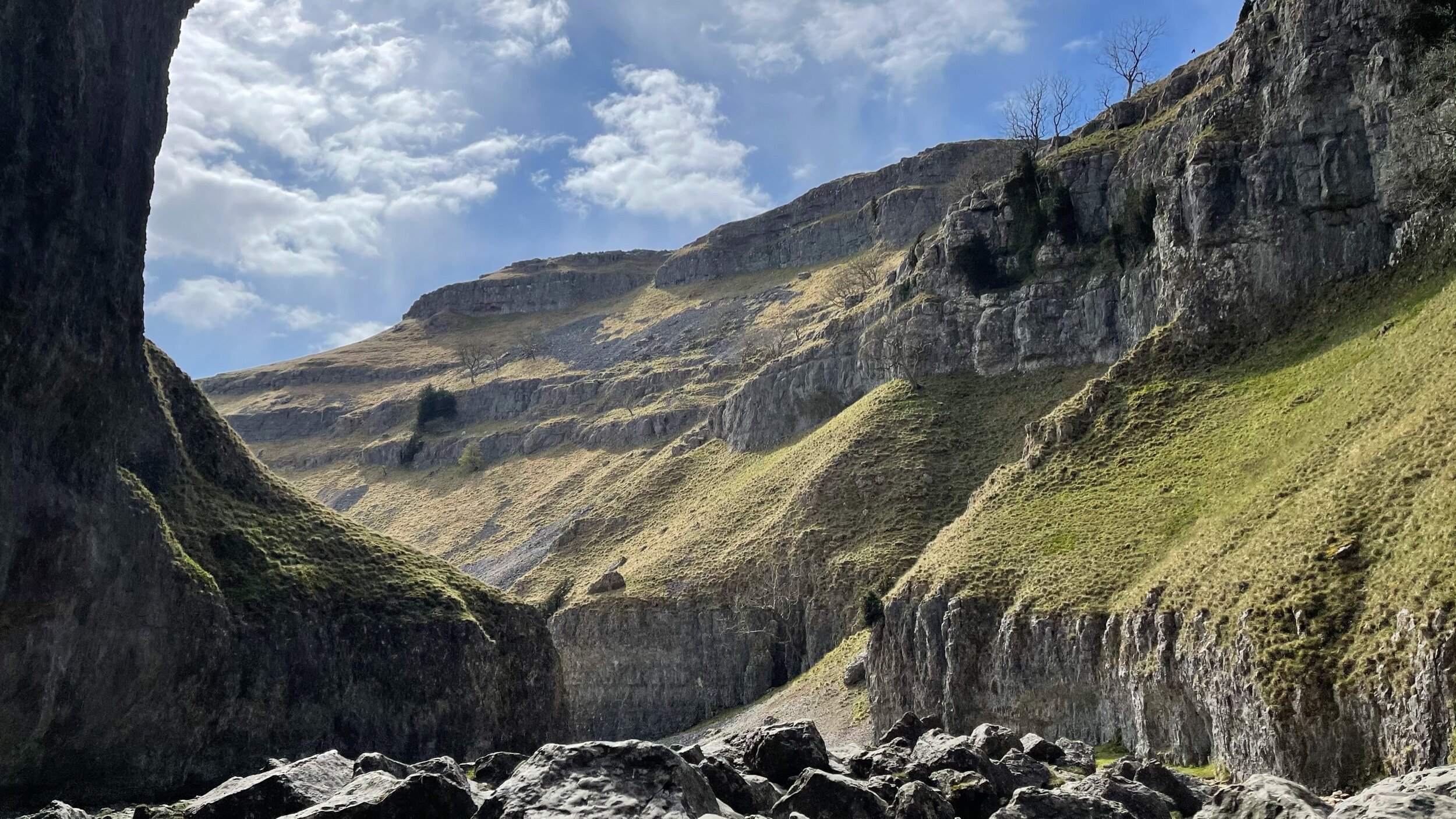
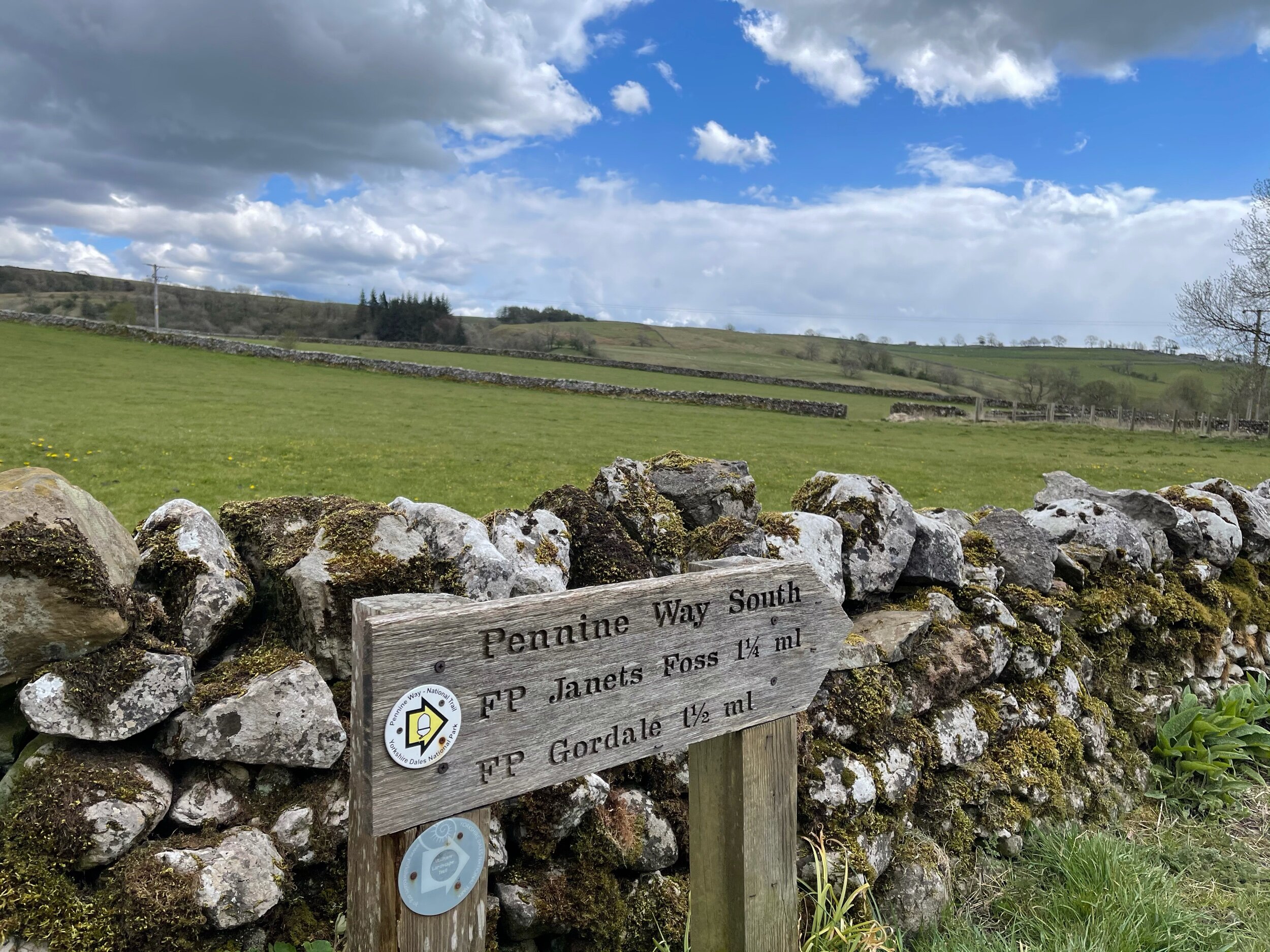
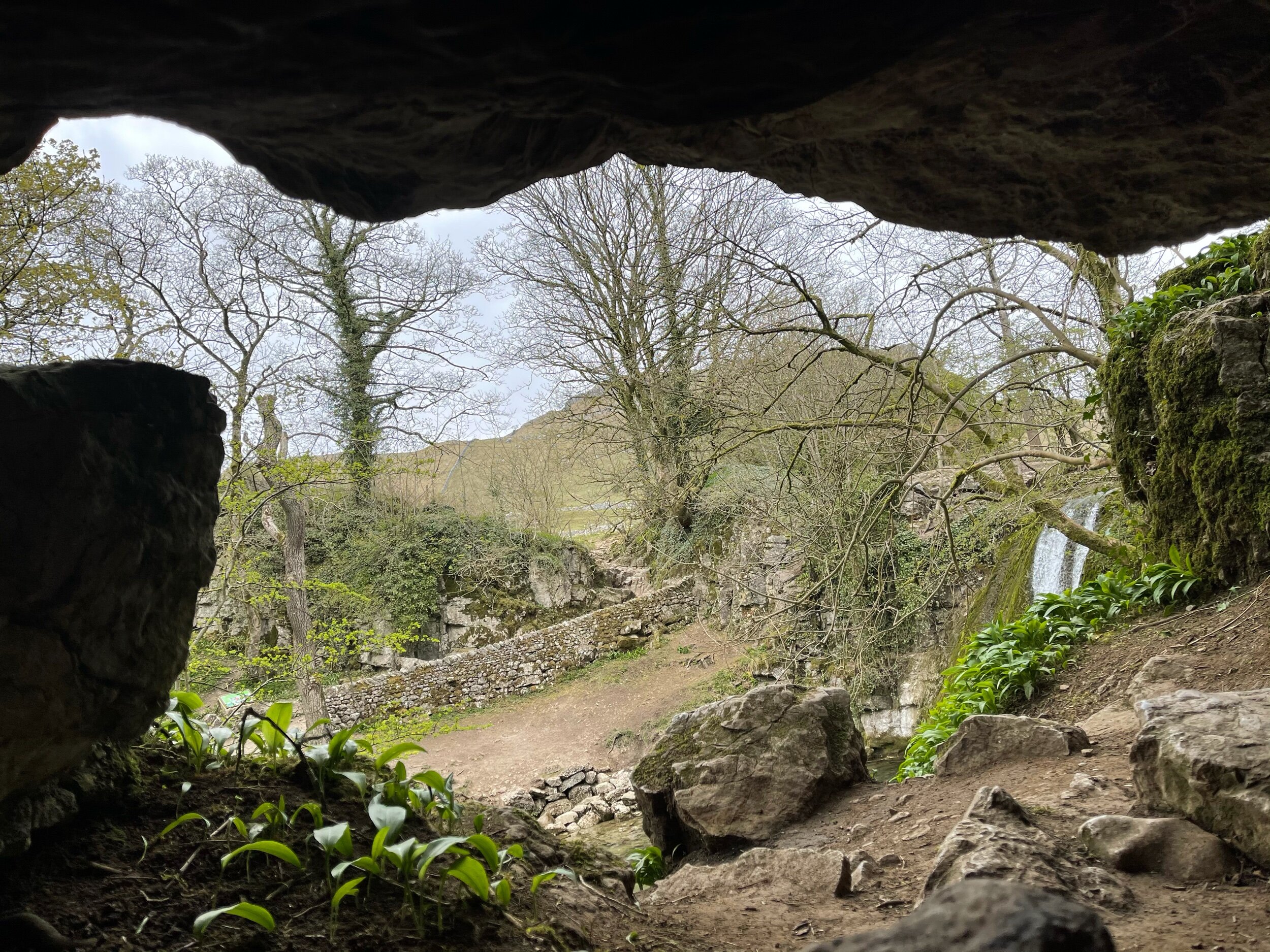
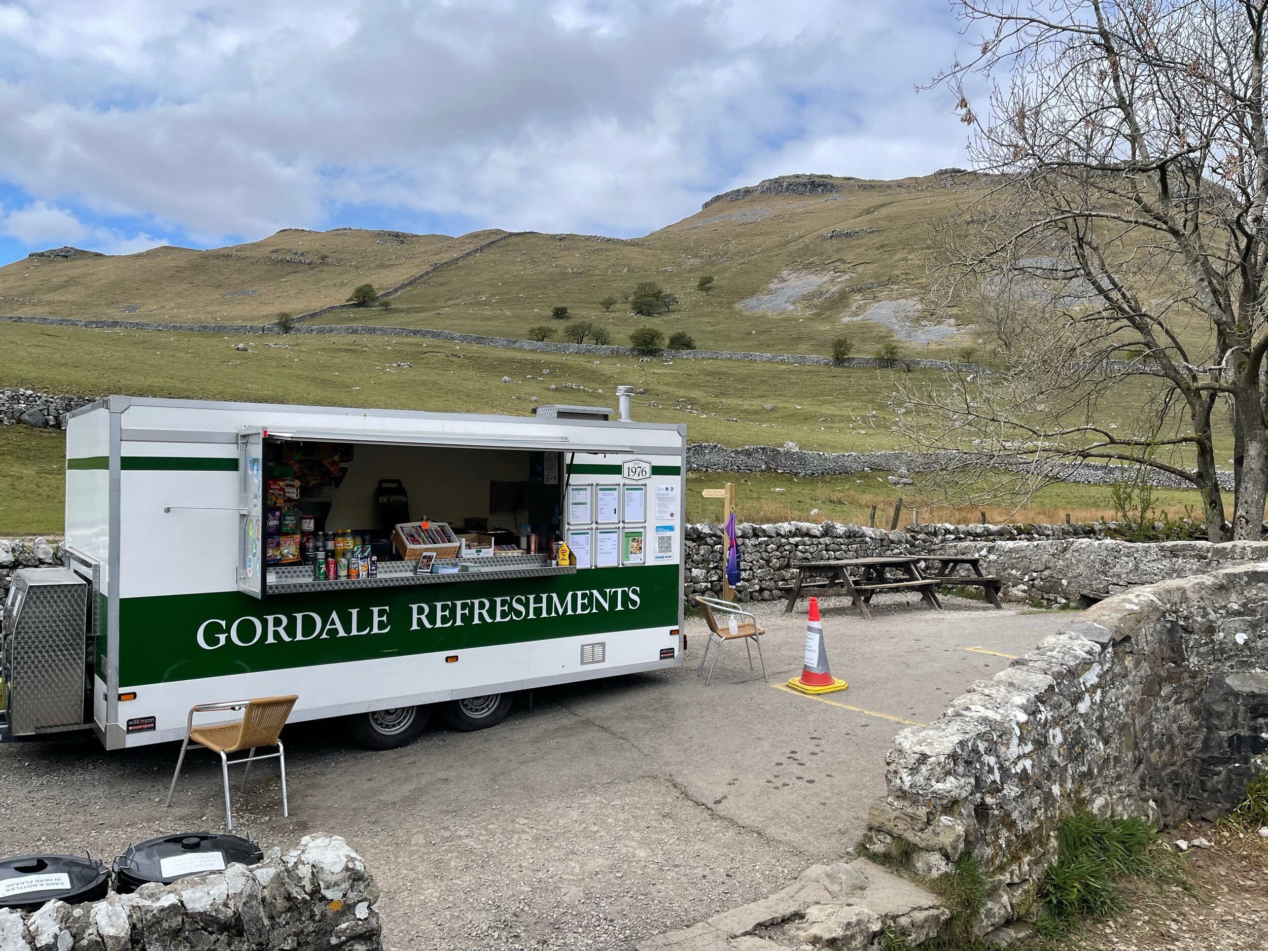
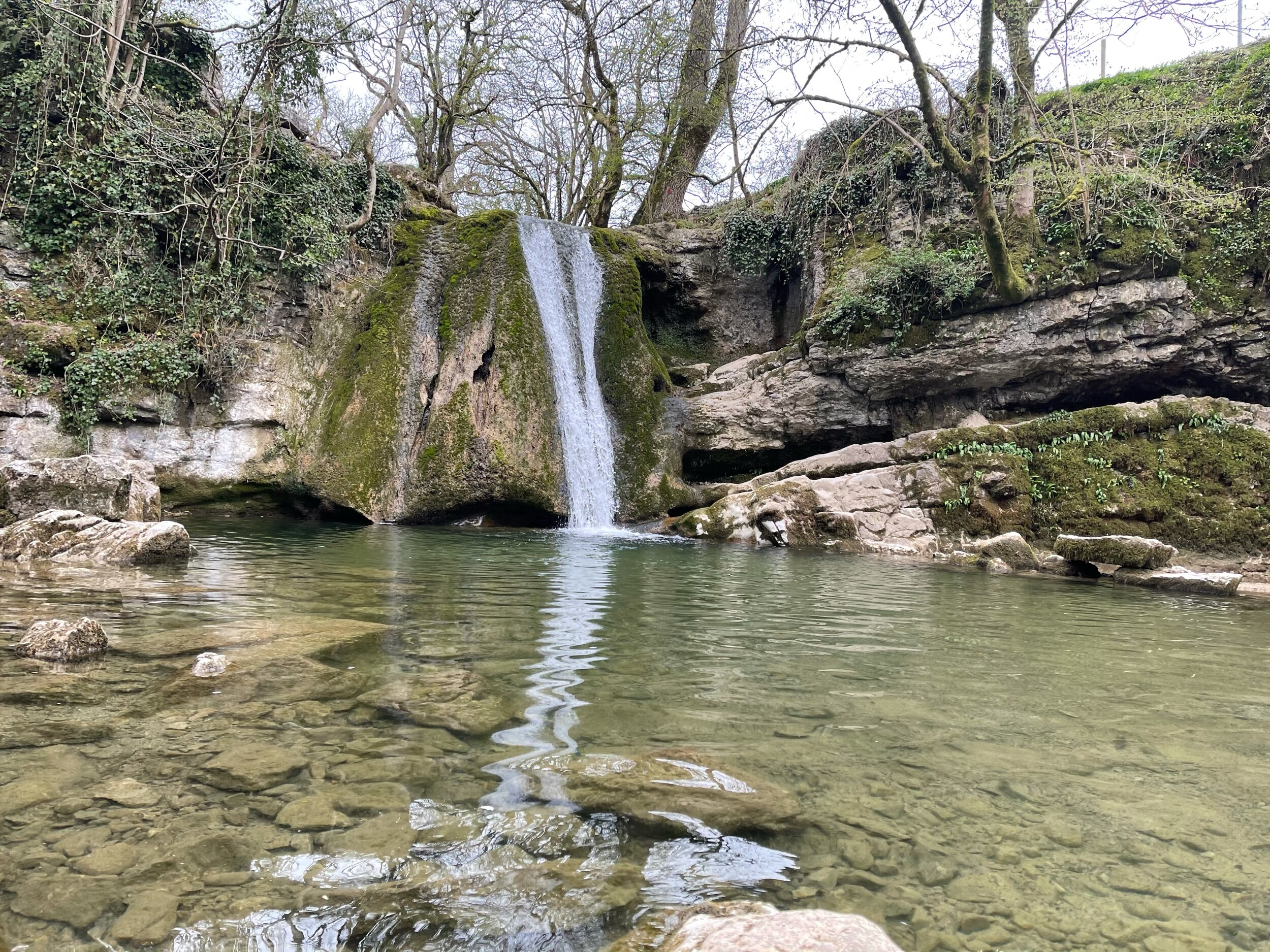
As much as these images feel like another country entirely, they’re still very much within driving distance to our rainy city! This trail truly has it all: not one, but two fairytale-esque waterfalls (Janet’s Foss and Gordale Scar), a hidden cave… and a cove that wouldn’t look out of place in Arizona… and a fairly flat route throughout!
A magnet for families and ramblers alike, Malham, North Yorkshire is home to so many enchating places to explore — that said, it can get pretty busy in the summer months, so if you’re after a less populated stroll, we’d recommend popping down during the week.
Unlike a lot of other waterfalls in the surrounding area, Gordale Scar allows walkers to discover its beauty without having to undertake a difficult climb en route.
Fancy a dip? Wild swimming has become immensely popular over the past year - and we couldn’t think of a better place to dip a toe in than this one!
All in all, if you’re looking for one of the best walks in the Yorkshire Dale’s — you’re sure to find it in Malham.
Follow the route step by step here — or if you fancy shortening the route, a quick pit stop to the National Park Centre will have you set.
UPHILL CHALLENGES:
WALKS WITH WATERFALLS:


